
Hello Friends,
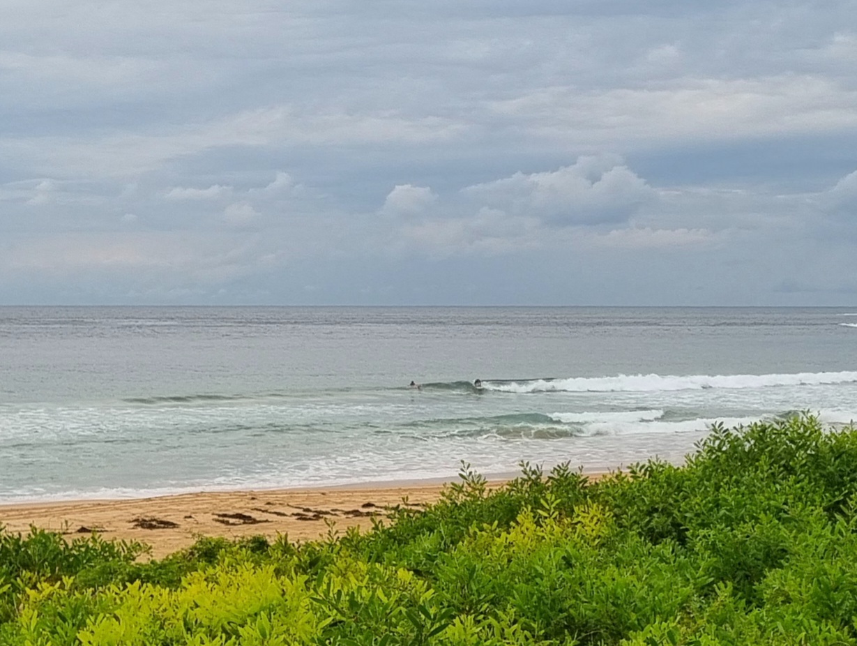
If you were up early, you were in for a fun sesh at lots of SE spots this morning. Depending on where you went, you’d find set wave faces in the chest to shoulder plus (on the bombs) range. Tide’s coming in pretty quickly, so I reckon by around 0930 it’ll start to be obviously filling up. Wind should not be an issue until after lunch today when it is due to be out of the NE. So, get in early for the best results. Obviously you won’t be the only one with a surf plan, so smile and roll with it, I’m sure you’ll get your share!
Outlook for tomorrow is for a decrease in swell energy but with any luck there’ll still be a few fun little waves at spots open to the available swell direction.
Tides: H@115, L @1710
Weather Situation
A weak trough lies over northeastern New South Wales, while a ridge of high pressure is developing along the coast. A cold front will pass to the south during Sunday, pushing a southerly change along the New South Wales coast. Behind this system, another high is expected to drift slowly across from the west, with most parts of the coast remaining in generally southerly winds until late in the week.
Forecast for Saturday until midnight
Winds
Variable about 10 knots becoming north to northeasterly 10 to 15 knots in the afternoon.
Seas
Below 1 metre.
Swell
Southerly about 1.5 metres.
Sunday 31 March
Winds
Northerly 10 to 15 knots shifting southerly 15 to 20 knots during the afternoon or evening.
Seas
Below 1 metre increasing up to 1.5 metres around midday.
Swell
Southerly about 1 metre becoming 1.5 metres late in the evening.
Weather
The chance of thunderstorms offshore during the evening.
Monday 1 April
Winds
South to southeasterly 15 to 20 knots tending east to southeasterly 10 to 15 knots during the afternoon.
Seas
Up to 1.5 metres.
Swell
Southerly 1.5 metres.

