Hello Friends,
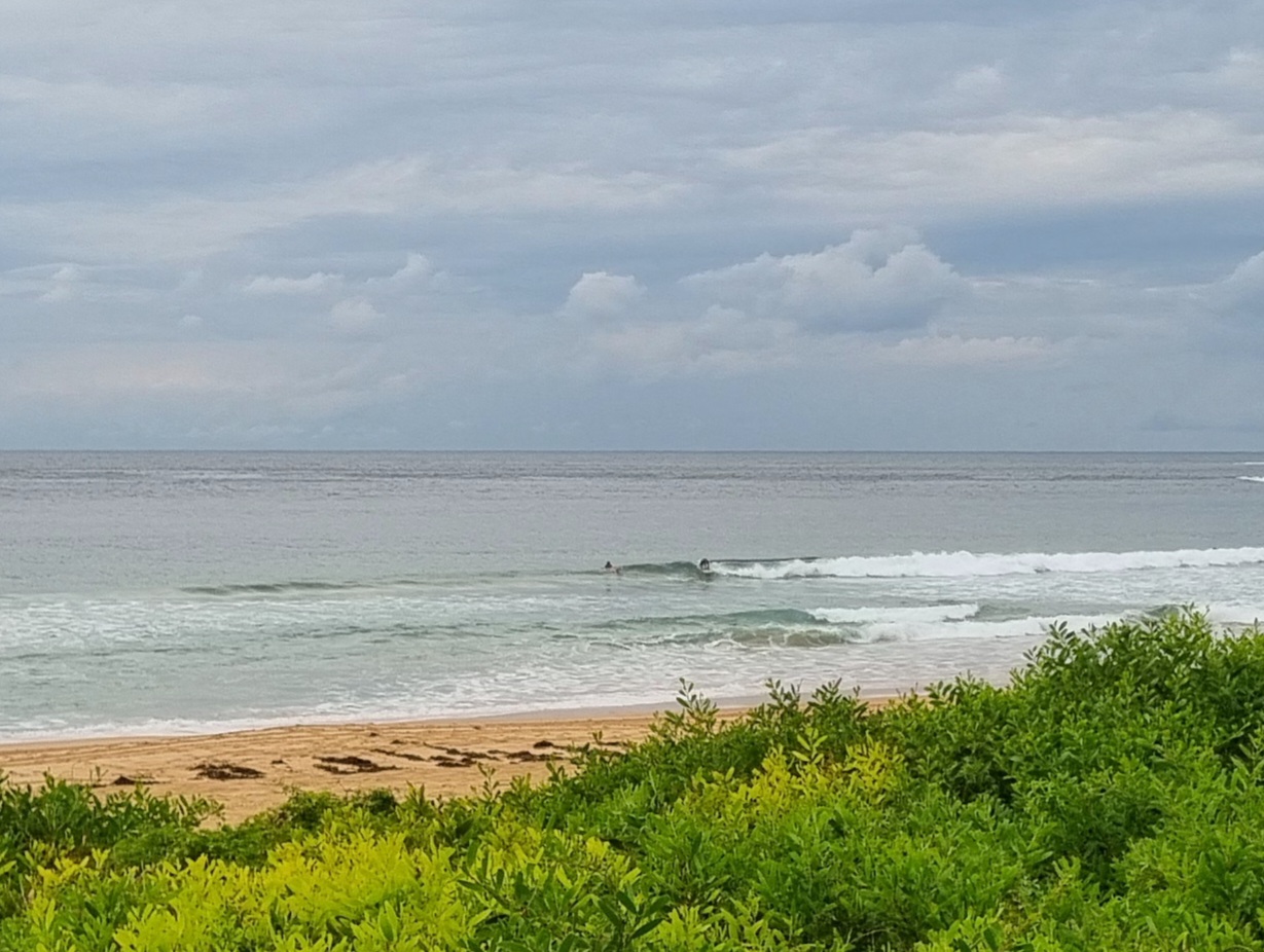
Swell was out of the SE at around 1.3 metres on average with a typical period of about 8 seconds. Tide was low a little after 0700 and will be high a little after 1300. Wind was light SE but is expected to swing NE by this afternoon. At Dee Why the typical wave face on a set looks to be around the waist high mark. So, not amazing or anything, but semi-do-able if you’re keen (and a reasonable number are).
Go well everyone!
Weather Situation
A low pressure trough off the New South Wales north coast is weakening, while a high pressure system near the Bight extends a ridge into the state’s west. Another weak trough will move over southern parts tonight as a cold front passes to the south, bringing a new southerly wind surge along the coast during Tuesday. Following this, the high is expected to drift slowly eastwards during the coming days, with most parts of the coast remaining in generally southerly winds until late in the week.
Forecast for Monday until midnight
Winds
South to southeasterly 10 to 15 knots becoming northeasterly about 10 knots in the evening.
Seas
Below 1 metre.
Swell
Southerly about 1.5 metres.
Tuesday 2 April
Winds
Variable about 10 knots becoming south to southwesterly 10 to 15 knots in the late afternoon then tending south to southeasterly in the evening.
Seas
Below 1 metre.
Swell
Southerly about 1.5 metres.
Wednesday 3 April
Winds
Southerly 15 to 20 knots tending southeasterly 10 to 15 knots during the evening.
Seas
1 to 1.5 metres rising to 2 metres during the morning.
Swell
Southerly 1 to 2 metres.

