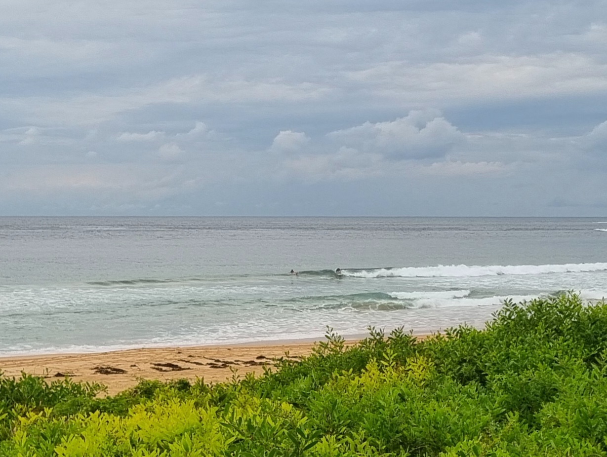
POSTCARD FROM CALI: The Pit, Santa Barbara CA, around midday. Gutless windswell with occasional moments of semi-speed.

Hello Friends,
Looking at Sydney via the WRL cam shot this morning, I can see that exactly as foretold in the forecast, there is next to nothing going on. What little energy there is, is coming from the E by ESE at about 10 seconds apart. But it’s about half a metre on average, so even at exposed spots on optimal tide, you’ll be struggling to find anything much above the knee high mark.
According to the dear old BoM, the outlook (see below) is for further direness right through to Friday night. Some swell modelling is showing the possibility of a little very long period south swell for Saturday morning. This looks like maybe delivering waist plus at the best south swell spots. But, as always, your mileage may vary.
Meanwhile, your postcard from Cali today is of Santa Barbara junk wind swell spot, the Pit. An utterly forgettable beachy 99% of the time, this morning saw it delivering chest plus faces. They were very weak though. People were struggling to generate any real speed beyond their first turns. And most waves just dumped over anyway. Not exactly happening. Word reached me that there were little waves at the famous Rincon, but I couldn’t get away to check… our outlook is a bit better than Sydney’s in that there is at least the hope of a little wave or two over the next few days.
Have yourself a great Wendnesday one and all!
Weather Situation
A broad high pressure ridge south of the continent will direct a weak onshore airstream over New South Wales through until the middle of the week. On Wednesday the ridge will move north and the wind over southern NSW waters will turn offshore for a period. A weak southerly change is expected to affect southern coastal waters on Thursday as a low pressure trough moves through this region.
Forecast for Wednesday until midnight
Winds
Variable about 10 knots becoming northeasterly 10 to 15 knots in the late afternoon then tending northerly in the late evening.
Seas
Below 1 metre.
Swell
Easterly about 1 metre.
Weather
The chance of thunderstorms this morning.
Thursday 11 April
Winds
Northerly 10 to 15 knots turning northeasterly in the early afternoon.
Seas
Below 1 metre increasing to 1 to 1.5 metres later in the evening.
Swell
Easterly 0.5 metres.
Friday 12 April
Winds
Northerly 10 to 15 knots turning northeasterly 15 to 20 knots during the morning.
Seas
Below 1 metre increasing to 1 to 1.5 metres during the evening.
Swell
Easterly 0.5 metres tending southerly 1 metre from midday.

