

Hello Friends,
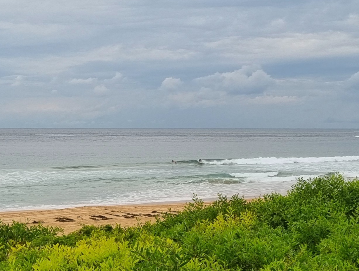
Swell ramped overnight. It’s raw and scrappy looking at semi-exposed south spots like Dee Why and cleaner at more protected spots like south Narra. The MHL buoy is showing an average height of 3 metres at sea with an average period of close to 9 seconds, but inshore the wave faces are mostly shoulder high or smaller. You’ll get the most bang for your buck at south spots. Wind was W-WSW for the early – but it’s set to swing south soon…
Have a good one!
Weather Situation
A trough and frontal system is expected to move from central to northern parts of the coast today, bringing a fresh to strong southerly change. Meanwhile, a high pressure system near the South Australian border will strengthen before moving across New South Wales today and tomorrow, with winds gradually easing from the south. Another southerly change is expected to move along the coast during Saturday.
Forecast for Thursday until midnight
Strong wind warning for Thursday for Sydney Coastal Waters
Winds
Southwesterly 25 to 30 knots turning southerly 20 to 25 knots in the morning.
Seas
2 to 3 metres, decreasing below 2 metres by early evening.
1st Swell
Southerly around 1 metre, tending southeasterly 2 to 2.5 metres during the morning, then tending southerly 2 metres during the afternoon.
2nd Swell
Easterly around 1 metre.
Friday 3 May
Winds
Southeasterly 10 to 15 knots becoming variable about 10 knots early in the morning then becoming north to northwesterly 10 to 15 knots in the late evening.
Seas
Up to 1 metre.
1st Swell
Southerly 1.5 to 2 metres, tending southeasterly about 1.5 metres during the afternoon.
2nd Swell
Easterly around 1 metre.
Saturday 4 May
Winds
West to northwesterly 15 to 20 knots shifting southerly 20 to 30 knots during the afternoon.
Seas
1 to 1.5 metres, increasing to 2 to 3 metres during the afternoon.
Swell
Southeasterly 1 to 1.5 metres, decreasing to around 1 metre during the morning.

