Hello Friends,
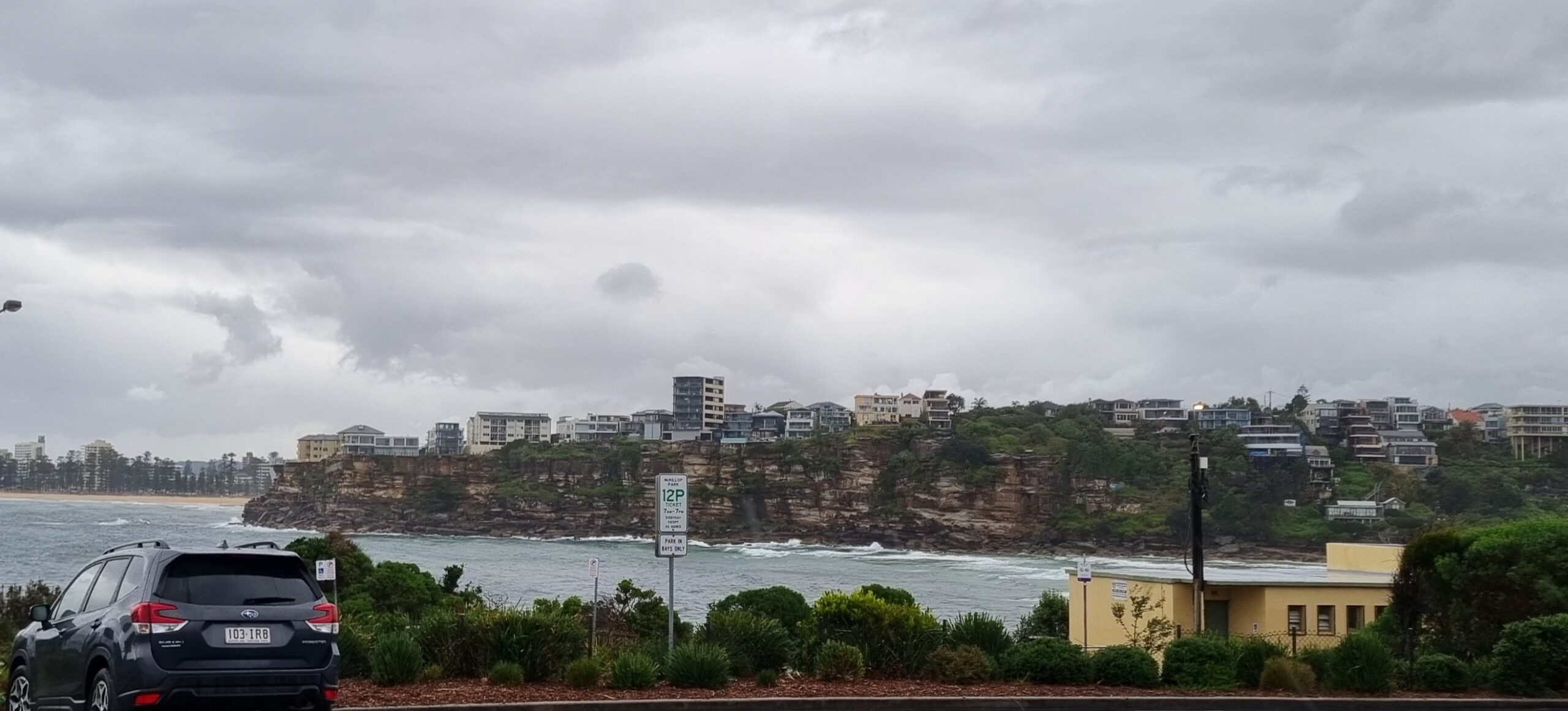
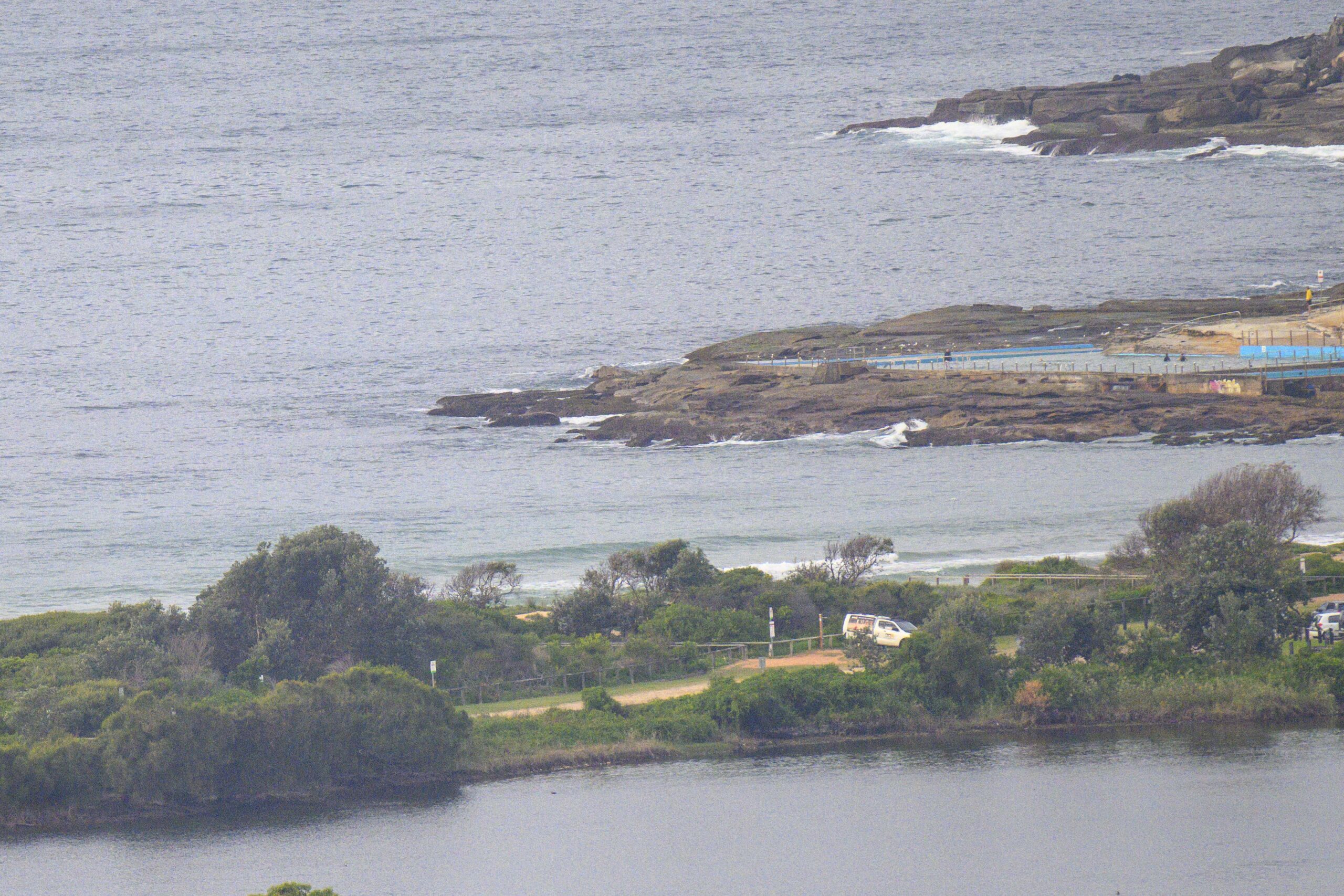
Tide was low at 0720 this morning and as it turned, there were very occasional knee to waist high SE sets of a couple waves turning up. Out at sea the swell is around the metre mark. Average period was around the 8 second mark, but there’s 10 second stuff in amongst it (probably the sets).
The Bureau reckons we should see the swell pick up a bit through the day and continue at around the 2 metre mark for tomorrow before starting to fade back again on Sunday.
Wind forecast says it’ll be offshore through the day, but going pretty briskly so that may hold down the maximum size.
Get out if you can!
Weather Situation
A low pressure system over the southwestern Tasman Sea is associated with fresh to strong southwesterly winds over the southern and central NSW coasts today. The low is expected to move slowly east during the next couple of days, maintaining southwesterly airstream over NSW coast with strong winds persisting in the far south.
Forecast for Friday until midnight
Strong wind warning for Friday for Sydney Coastal Waters
Winds
West to southwesterly 20 to 25 knots reaching up to 30 knots in the morning.
Seas
2 to 2.5 metres.
Swell
Easterly around 1 metre, tending southerly 1 to 1.5 metres around midday, then increasing to 2 metres by early evening.
Weather
The chance of thunderstorms offshore this morning.
Saturday 18 May
Winds
Southwesterly 15 to 20 knots.
Seas
1 to 2 metres.
Swell
Southerly 2 to 2.5 metres.
Sunday 19 May
Winds
West to southwesterly 15 to 20 knots.
Seas
1 to 1.5 metres.
Swell
Southerly 1.5 to 2 metres, decreasing to 1.5 metres during the afternoon or evening.


