
Hello Friends,
Swell is out of the south to SSE this morning with an average height at sea of 3.5 metres at 11 seconds apart. Wind early was WSW at 15-20 kts. Tide hits low at just on 1000 and then runs into reach a high at 1635. Swell should be near the peak now, but that doesn’t mean it’s dropping much later. According to the latest from the Bureau, it’ll settle back to an average of 3 metres tonight, then be 2.5-3m tomorrow and 2-3m on Friday. Of greater interest is the wind setting. It supposec to be 20-30 kts south this am and maybe 20-25 kts but still south this arvo.
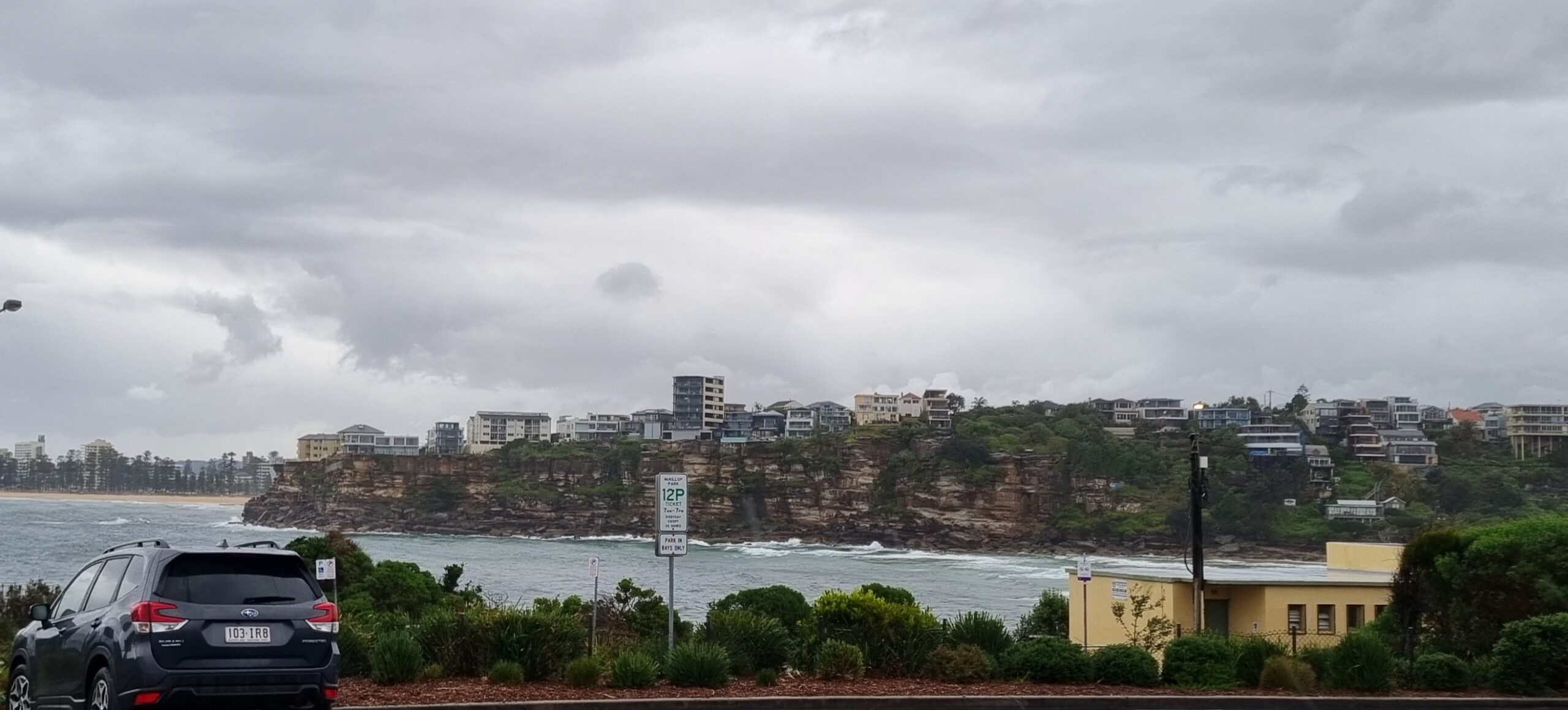
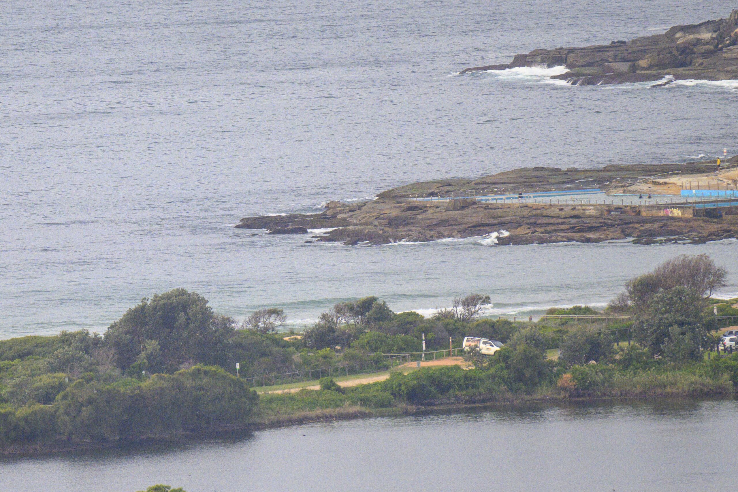
Surf conditions were kinda rugged looking this morning at Dee Why. I thought it’d be bigger based on yesterday’s forecast, but when I checked at about 0800 wave faces were around the head plus on typical sets, with maybe 1.5x on the bigger ones. Some of the swell modelling disagrees with the Bureau and predicts the peak hitting us this afternoon (when the wind supposedly will be weakening a little).
Speaking of forecast models, the size should be happening into next week. Friday and Saturday look interesting and right now, the modellers reckon Monday could be colossal (how’s 6m+ sound?) – but with insanely strong onshores and rain.
This June will be etched in Sydney surfers’ memories.
One more sleep to Surfrider Foundation’s Winter Solstice Jam! As I said yesterday, my advice is to book your spot online right this second because space is definitely limited. Do you really want to hear ‘you shoulda been there last night…’ from all your mates? No, of course not! And load that wallet with dough for all the excellent raffle opportunities we’ll throw at ya!
—————
Weather Situation
A slow moving complex low pressure system lies over the eastern Tasman Sea while a high pressure ridge pushes into western New South Wales. The ridge will continue moving eastwards over the next couple of days to be over the western Tasman Sea by Friday morning.
Forecast for Wednesday until midnight
Strong wind warning for Wednesday for Sydney Coastal Waters
Winds
Southerly 20 to 30 knots decreasing to 20 to 25 knots in the late afternoon.
Seas
2 metres, decreasing below 1.5 metres by early evening.
Swell
Southerly 3 to 4 metres, decreasing to 3 metres later in the evening.
Weather
The chance of thunderstorms this morning.
Caution
Large swells breaking dangerously close inshore.
Thursday 20 June
Winds
Southerly 15 to 20 knots.
Seas
1 to 1.5 metres, decreasing below 1 metre around midday.
Swell
Southerly 2.5 to 3 metres.
Caution
Large swells breaking dangerously close inshore in the morning.
Friday 21 June
Winds
Variable about 10 knots.
Seas
Below 1 metre.
Swell
Southeasterly 2 to 3 metres.
Caution
Large swells breaking dangerously close inshore.


