
Hello Friends,
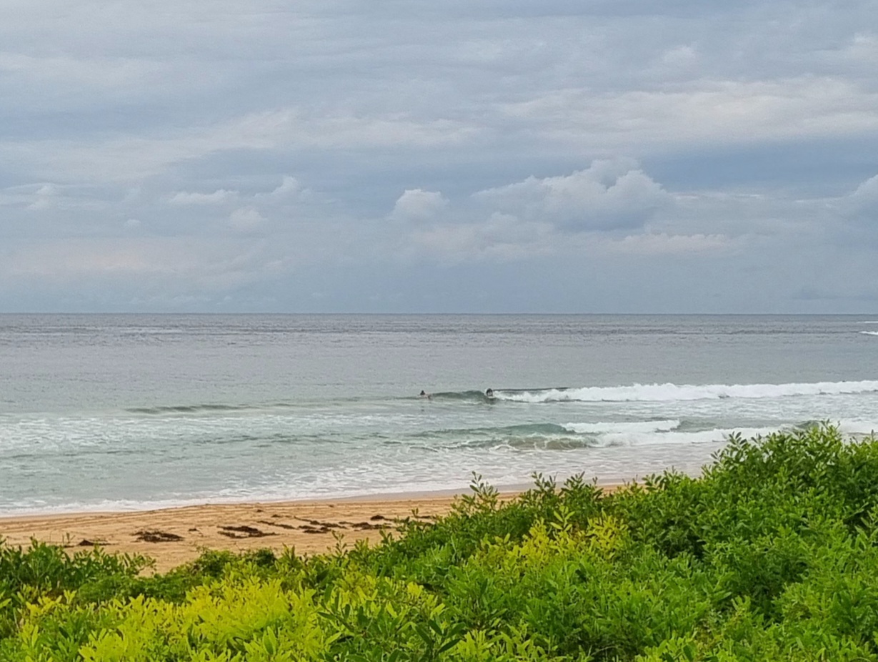
From all the weather forecasts, I’d expected it to be a lot more wild and woolly this morning. Instead the wind was light and the rain was still holding off at 0830. The swell is working around to the east, but the dominant direction early was ESE at a couple metres with an average period of about 8 seconds. Wave faces at Dee Why point looked to be in the chest to head high range on sets, while around the corner at south Narrabeen, it was head to head plus on the bombs and, as the pictures show, super clean in terms of surface conditions. What definitely won’t be super clean is the water – thanks to all the run-off.
The Bureau says the wind should kick in pretty hard toward midday and be basically out of the northern quarters. At the same time the swell should close to double in size. Not sure if there will be anything actually surfable under the conditions. Heavy rain periods are a near certainty according to the Bureau and wind speeds will be into the 30-40 kt range this afternoon.
Outlook is for the surf conditions to be wild through until about Thursday when the wind may begin to back off.
Stay safe, warm and dry!
High tide @0845 L@1425
Weather Situation
The low off the north coast is expected to deepen during Monday and move towards the central part of the coast generating strong to gale force winds for most coastal waters, with strongest winds likely for the Sydney and Illawarra coasts. The low pressure system, likely made up of several transient small scale centres is expected to be slow moving off the central part of the coast during Tuesday with strong to gale force winds continuing. The low should slowly move to the east during Wednesday.
Forecast for Monday until midnight
Gale warning for Monday for Sydney Coastal Waters
Winds
Easterly 15 to 20 knots tending northwest to northeasterly 30 to 45 knots in the early afternoon then decreasing to 15 to 25 knots in the late evening.
Seas
1 to 2 metres, increasing to 2 to 4 metres during the afternoon, then decreasing below 1.5 metres later in the evening.
Swell
Southeasterly 2 metres, tending easterly 1.5 to 2.5 metres around dawn, then increasing to 3 to 4 metres during the afternoon.
Weather
The chance of thunderstorms.
Caution
Large swells breaking dangerously close inshore.
Tuesday 25 June
Winds
Northwest to northeasterly 10 to 15 knots becoming variable about 10 knots in the middle of the day then becoming west to southwesterly 15 to 20 knots in the evening.
Seas
Up to 1 metre.
Swell
Easterly 2 to 3 metres, increasing to 3 to 4 metres later in the evening.
Weather
The chance of thunderstorms.
Caution
Large swells breaking dangerously close inshore.
Wednesday 26 June
Winds
Southeasterly 20 to 30 knots turning southerly 15 to 20 knots during the afternoon.
Seas
2 to 3 metres, decreasing below 2 metres during the afternoon or evening.
Swell
Easterly 2.5 to 3 metres.
Weather
Isolated thunderstorms, contracting offshore during the evening.
Caution
Large swells breaking dangerously close inshore.

