Hello Friends,
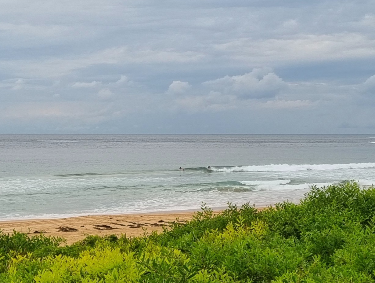
Fergedaboutit. Despite all the huffing and puffing, the swell’s looking smaller at Dee Why-Long Reef and Collaroy-Narrabeen. But the real issue is that wind. It’s SE at 15-20 kts and the ocean is a mess. There’s not enough swell to wrap into Collaroy and everywhere else is just a choppy mess. Swell is out of the SE at around 3 metres with a juicy 11 second period, but it’s so smashed up by the wind it hardly matters.
The Bureau says the wind will weaken a bit this morning, but it’s not going to glass off or turn offshore or anything useful to us.
Outlook is for the SE’ly to be doing its dirty work through tomorrow, albeit with less velocity. Could be Friday before things clean up.
Go well with your Wednesday!
Forecast issued at 4:11 am EST on Wednesday 26 June 2013.
Weather Situation
A strong, slow moving high pressure system near Tasmania extends a ridge to the northern Tasman Sea while a low pressure trough with a few small lows embedded in it lies off New South Wales coast. The trough is expected to move east today and during Thursday as the high moves to the south strengthening the ridge across the western Tasman Sea.
Forecast for Wednesday until midnight
Strong wind warning for Wednesday for Sydney Coastal Waters
Winds
Southeasterly 25 to 30 knots decreasing to 15 to 25 knots in the morning.
Seas
2 to 3 metres, decreasing below 2 metres around midday, then decreasing below 1.5 metres during the afternoon.
Swell
Easterly 2.5 to 3 metres.
Weather
Isolated thunderstorms.
Caution
Large swells breaking dangerously close inshore.
Thursday 27 June
Winds
Southeasterly 10 to 15 knots.
Seas
Up to 1 metre.
Swell
Easterly 2 to 2.5 metres.
Friday 28 June
Winds
Variable about 10 knots.
Seas
Below 1 metre.
Swell
Easterly 1.5 to 2 metres.

