Hello Friends,
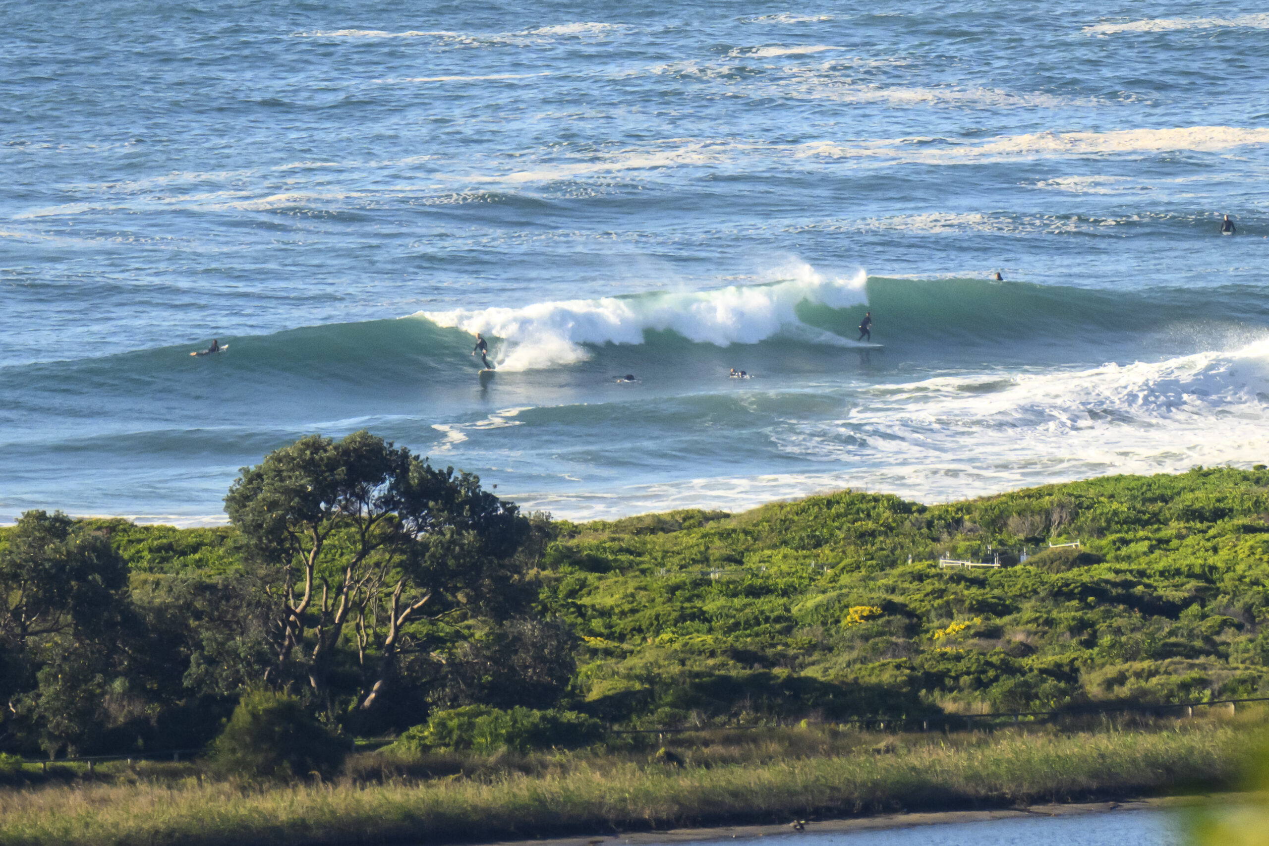
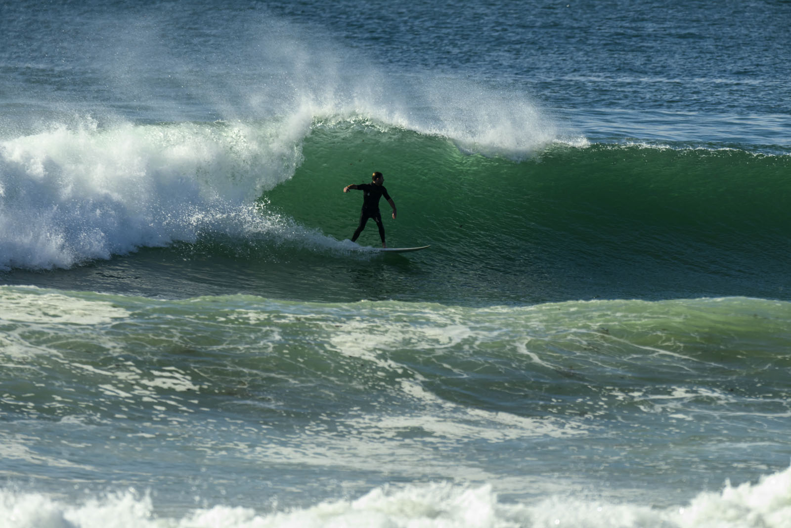
About 1.5 metres of 9 second period south swell this morning. First high tide of the day is 0930, so when I took the picture above it was pretty fat and full. Not much wind about, but the forecast is calling for NE of 10-15 kts later. So maybe as the tide drops toward the low at 1510 there’ll be better options in the north corners.
It’s set to be a chilly 15 today, with showers thrown in for good measure.
Swell outlook is for the conditions to kind of bumble along for another day or two at the current energy levels before slipping down a cog and entering a prolonged period of very small to flat conditions (if the super computers have it right).
Make of it all what you will and keep on smilin’!
Weather Situation
A strong high pressure system over southeast Australia is moving slowly east, and is expected to be over the Tasman Sea during Wednesday. Generally light to moderate winds are then expected to dominate during the second half of the week as a high pressure ridge remains the main synoptic feature of the region.
Forecast for Wednesday until midnight
Winds
Northeasterly 10 to 15 knots.
Seas
Around 1 metre.
Swell
Southerly 1.5 metres.
Thursday 11 July
Winds
East to northeasterly about 10 knots.
Seas
Below 1 metre.
Swell
Southeasterly 1.5 metres.
Friday 12 July
Winds
Northerly 10 to 15 knots.
Seas
Around 1 metre.
Swell
Southeasterly 1 to 1.5 metres, decreasing to around 1 metre during the morning.


