Hello Friends,
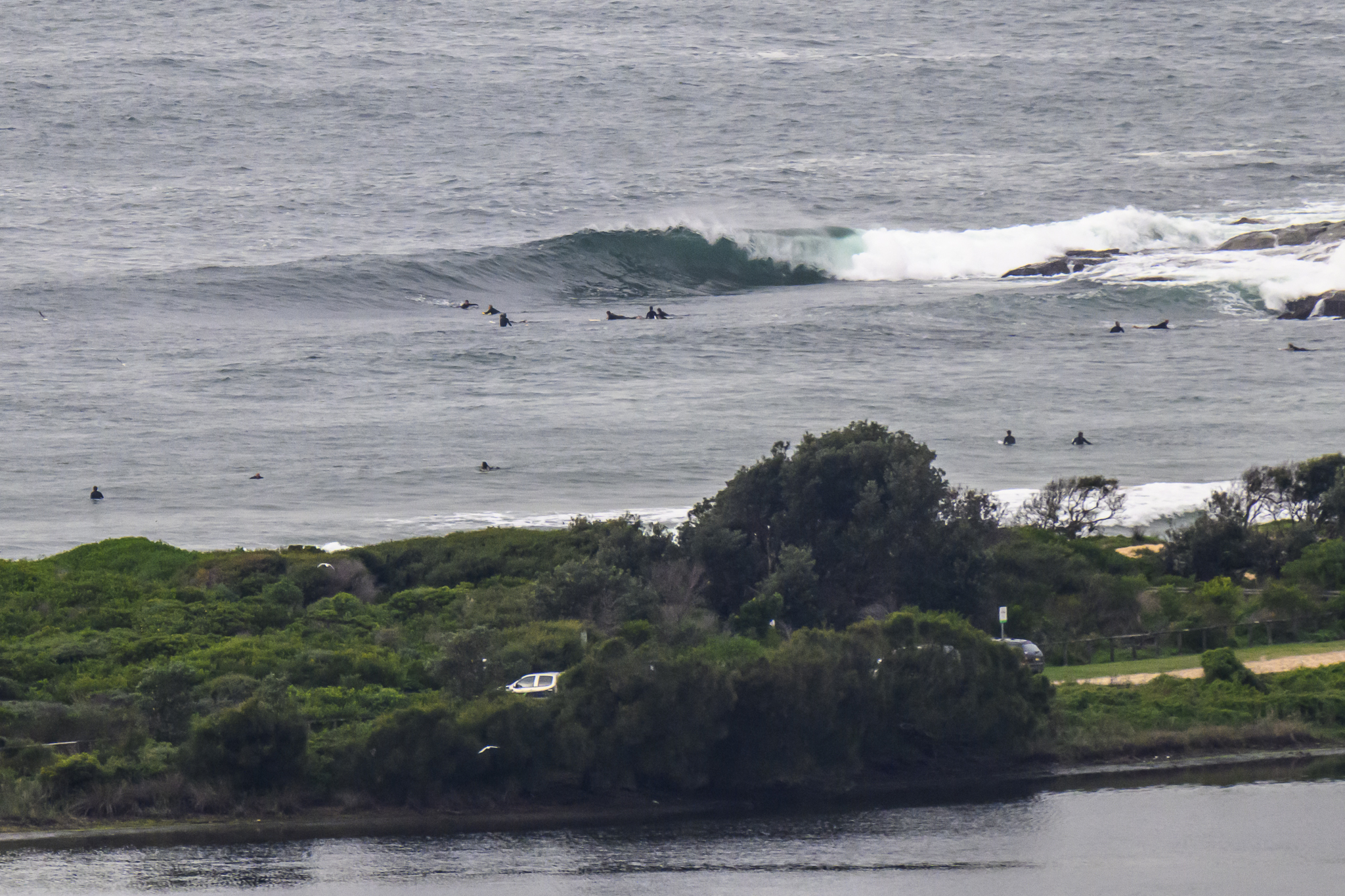
Just about nothing left. Just about. If you were patient and had something floaty, you could still get a weak little knee to waist high set wave every now and again at Dee Why.
Outlook remains pretty ordinary for the next little while. If the forecast models have it right, we’re not going to have much of anything until next week when we might get a brief south pulse Mon-Tue. So, extra keeness required for now.
Have yourself a great Tuesday!
Tides: L @0730, H @1400
Weather Situation
A strong, slow-moving high pressure system over the Tasman Sea extends a ridge across the New South Wales coast. A weak trough lies near the south coast, and will quickly weaken today before slipping away to the south under the influence of the high. The high is forecast to move eastwards today, with wind turning west to northwesterly over most waters and increasing towards the end of the week.
Forecast for Tuesday until midnight
Winds
Northwesterly 10 to 15 knots turning northerly in the late morning.
Seas
Around 1 metre.
Swell
Easterly around 1 metre.
Weather
The chance of thunderstorms this afternoon and evening.
Wednesday 17 July
Winds
North to northwesterly 10 to 15 knots.
Seas
Up to 1 metre.
Swell
Easterly below 1 metre.
Thursday 18 July
Winds
Northerly 10 to 15 knots, increasing to 20 to 25 knots during the evening.
Seas
Around 1 metre, increasing to 1.5 to 2.5 metres during the afternoon.
Swell
Northeasterly around 1 metre.


