
Hello Friends,
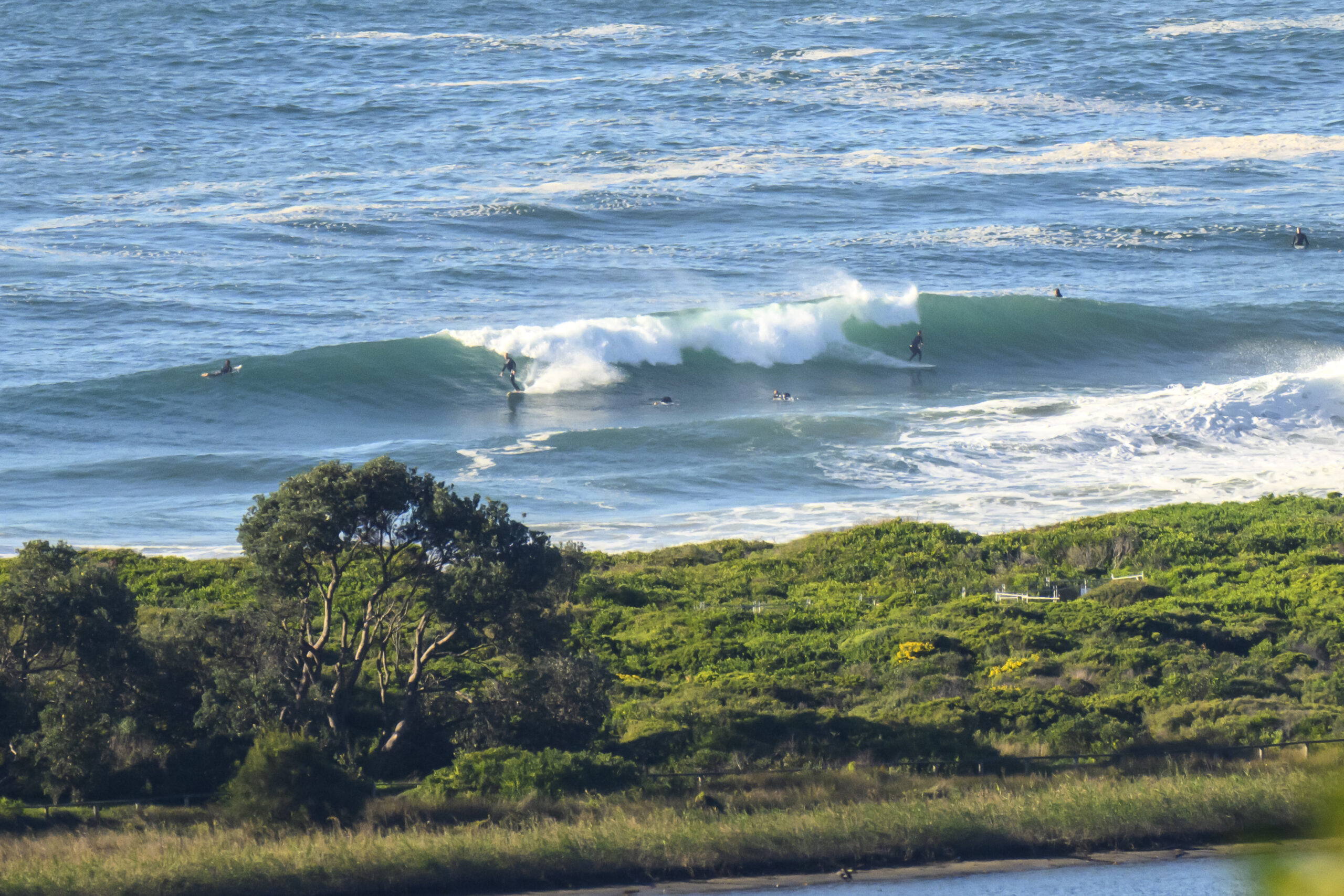
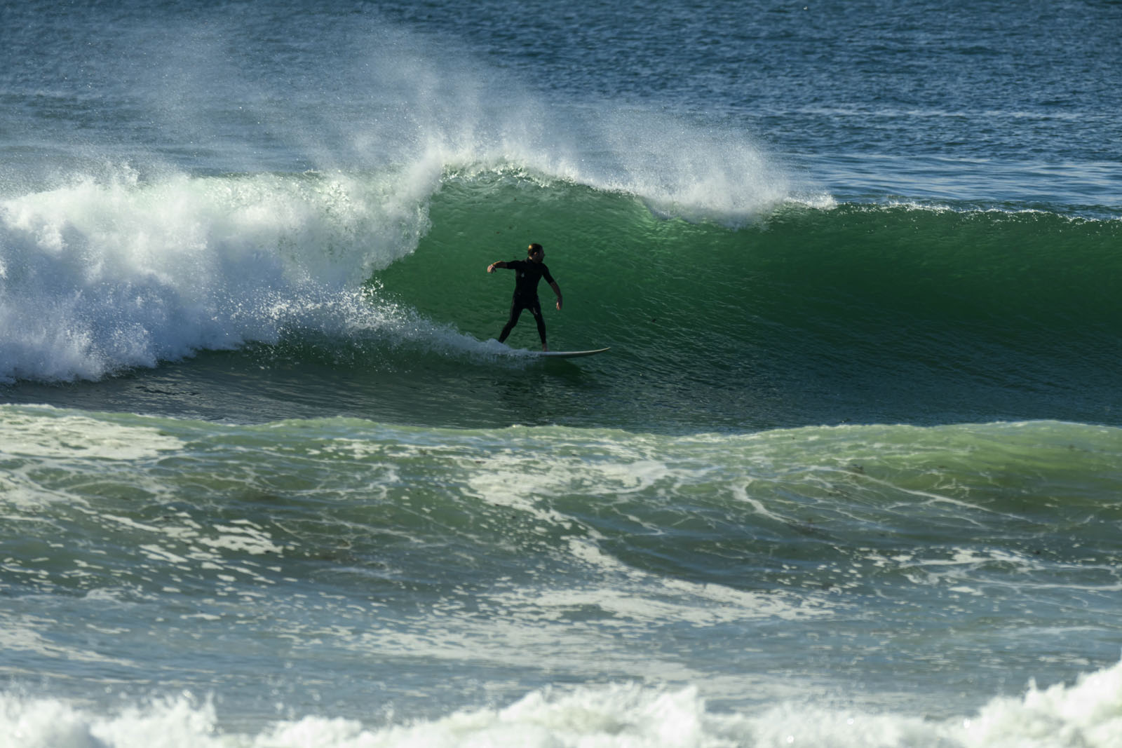
Small ESE swell of about a metre at 11 seconds is delivering the odd chest high set for the patient many bobbing about along Dee Why beach.
Wind was light early but is expected to pick up from the north as the day goes along so conditions at many spots will turn sideshore. Next tide’s a high at 1240, so the plan is definitely to hit it early before the tide and wind combo messes things up.
Outlook generally is for energy levels to bumble along at around these levels through to mid-week – and likely beyond.
So get out and enjoy it!
Forecast issued at 4:10 am EST on Sunday 28 July 2013.
Weather Situation
A high pressure system over the Tasman Sea extends a ridge over eastern New South Wales with generally light winds for coastal waters. The next cold front is expected to reach the state’s western border during Sunday, continuing across to the coast on Monday and Tuesday with northerly winds developing ahead of the front.
Forecast for Sunday until midnight
Winds
Northerly 15 to 20 knots.
Seas
1 to 1.5 metres, increasing to 1.5 to 2 metres later in the evening.
Swell
Easterly around 1 metre.
Monday 29 July
Winds
Northerly 20 to 25 knots, decreasing to 10 to 15 knots in the morning.
Seas
1 to 2 metres, decreasing below 1 metre around midday, then increasing to 1 to 1.5 metres by early evening.
Swell
Easterly around 1 metre.
Tuesday 30 July
Winds
Northwesterly 10 to 15 knots shifting south to southwesterly 15 to 25 knots during the day.
Seas
1 to 1.5 metres, increasing to 1 to 2 metres during the afternoon or evening.
Swell
Easterly around 1 metre, increasing to 1 to 1.5 metres during the evening.
Please be aware
Wind gusts can be 40 percent stronger than the averages given here, and maximum waves may be up to twice the height.
Nearby Coastal Waters


