
Hello Friends,
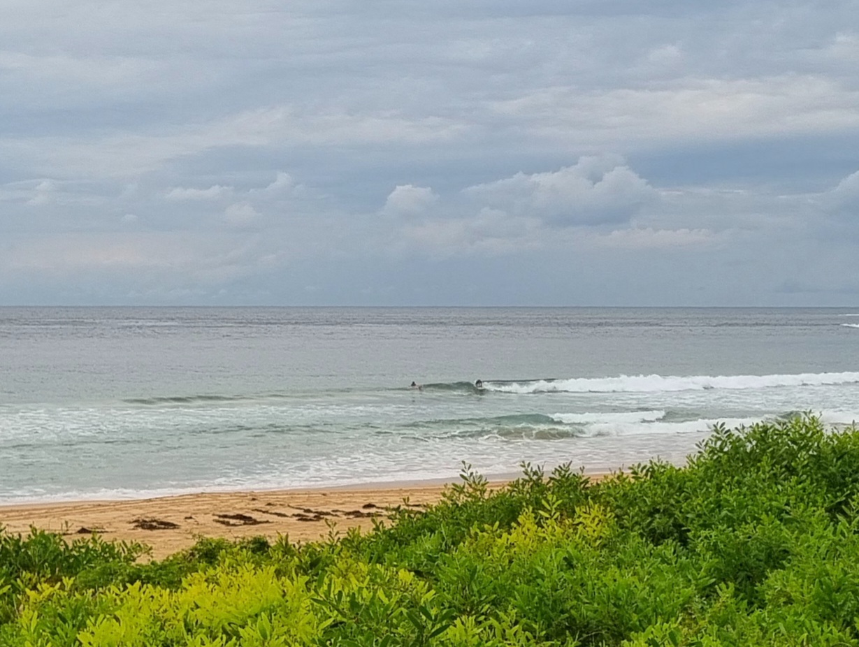
Sorry about the late one, but important (happy) family business to attend to first. Had breakfast in Dee Why, so there was plenty of time to suss out the waves. The east swell has come up as predicted. In line with expectations it’s close to the 2 metre mark out at sea with a period of around 11 seconds. Wave faces at Dee Why were in the head to head plus range on sets. Surface was smooth under dull skies (where are those mostly sunny conditions?).
What surprises me is how flabby many of the sets looked along the beach. The point was standing them up a bit better and the shories definitely could be snappish, but overall it looked just kind of slow. And we’re heading toward a low tide at 1040. Odd. I reckon the better exposed stretches will be more energetic. I’ll go out for a look later.
Wind is set to go NW and get into the 15-20 kt range later this afternoon.
I’ve been working away on the crowdfunding preparations for the last couple of days. Still quite a bit to do before I can submit the project for approval, but I’m getting there. As a matter of interest, one thing I’ve been researching is what’s involved in the development of a web app. Not an inexpensive exercise from the look of it and apparently not something I can just learn. Development requires a number of specialists – and specialists earn good money obviously. More research to do on that and several other fronts, so I’m now thinking next week maybe would be a better aim point for launching the crowdfunding effort. Stay tuned!
Have yourself a great Friday!
Forecast issued at 4:10 am EST on Friday 2 August 2013.
Weather Situation
A weak ridge of high pressure extends across New South Wales while a low over the Coral Sea moves slowly southeast. Increasing swell generated by the low is expected to reach the coast today. The high will continue to weaken during Friday as a series of cold fronts approach from the west, and winds will shift westerly along much of the coast. The first front is expected to cross later Friday and Saturday, bringing fresh to strong winds to southern and central parts. The redevelopment of a ridge across the state’s north during Sunday will restrict the movement of subsequent fronts, although fresh westerlies will continue to dominate across the south early in the new week.
Forecast for Friday until midnight
Winds
Northwesterly about 10 knots increasing to 15 to 20 knots in the early afternoon.
Seas
Up to 1 metre, increasing to 1 to 2 metres by early evening.
Swell
Easterly 2 to 2.5 metres.
Caution
Dangerous surf conditions expected, hazardous for coastal activities such as crossing bars by boat and rock fishing.
Saturday 3 August
Winds
Westerly 15 to 25 knots.
Seas
1.5 to 2.5 metres, decreasing below 1.5 metres around midday.
Swell
Easterly 2 to 2.5 metres.
Sunday 4 August
Winds
Westerly 15 to 20 knots.
Seas
1 to 1.5 metres, tending 1 to 2 metres during the afternoon or evening.
Swell
Easterly 1.5 metres, decreasing to around 1 metre during the evening.

