
Hello Friends,
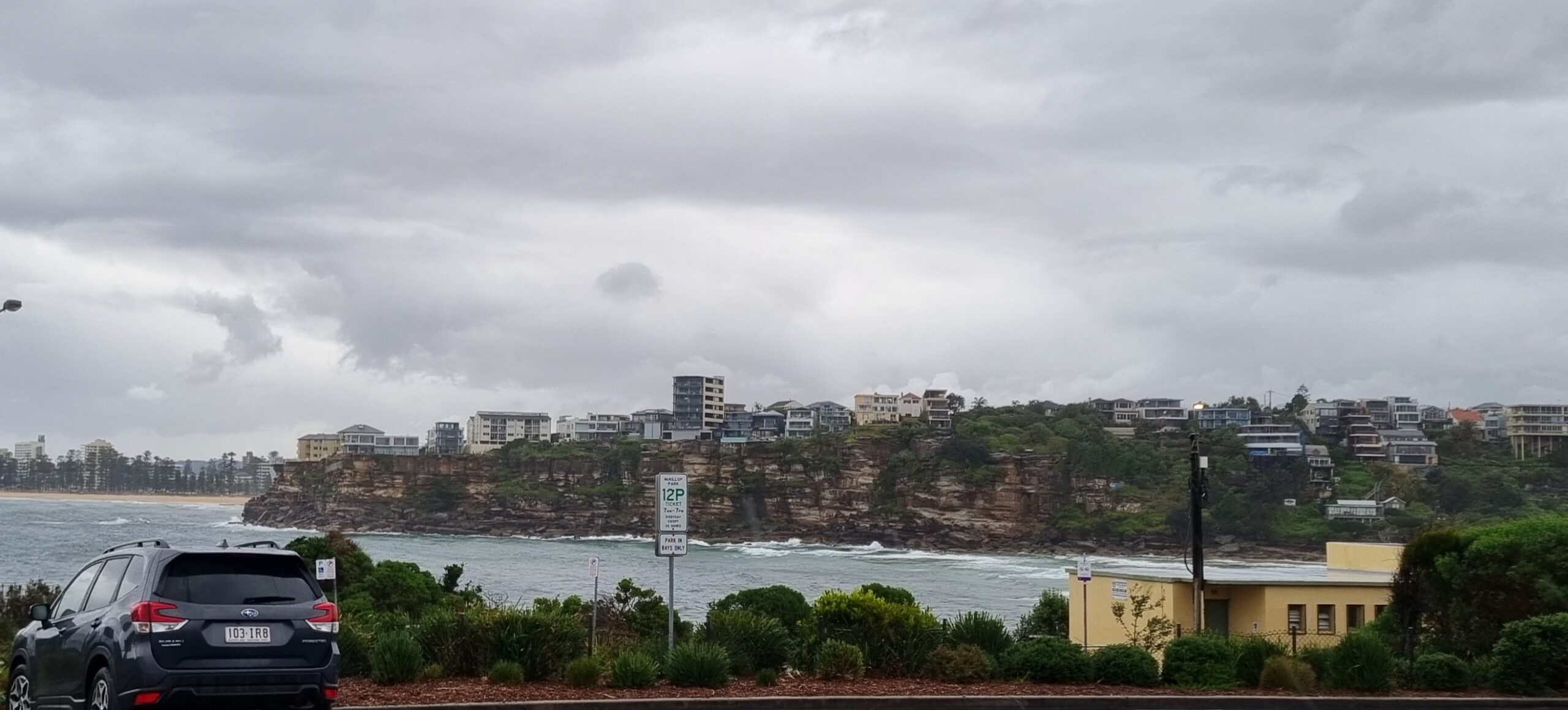
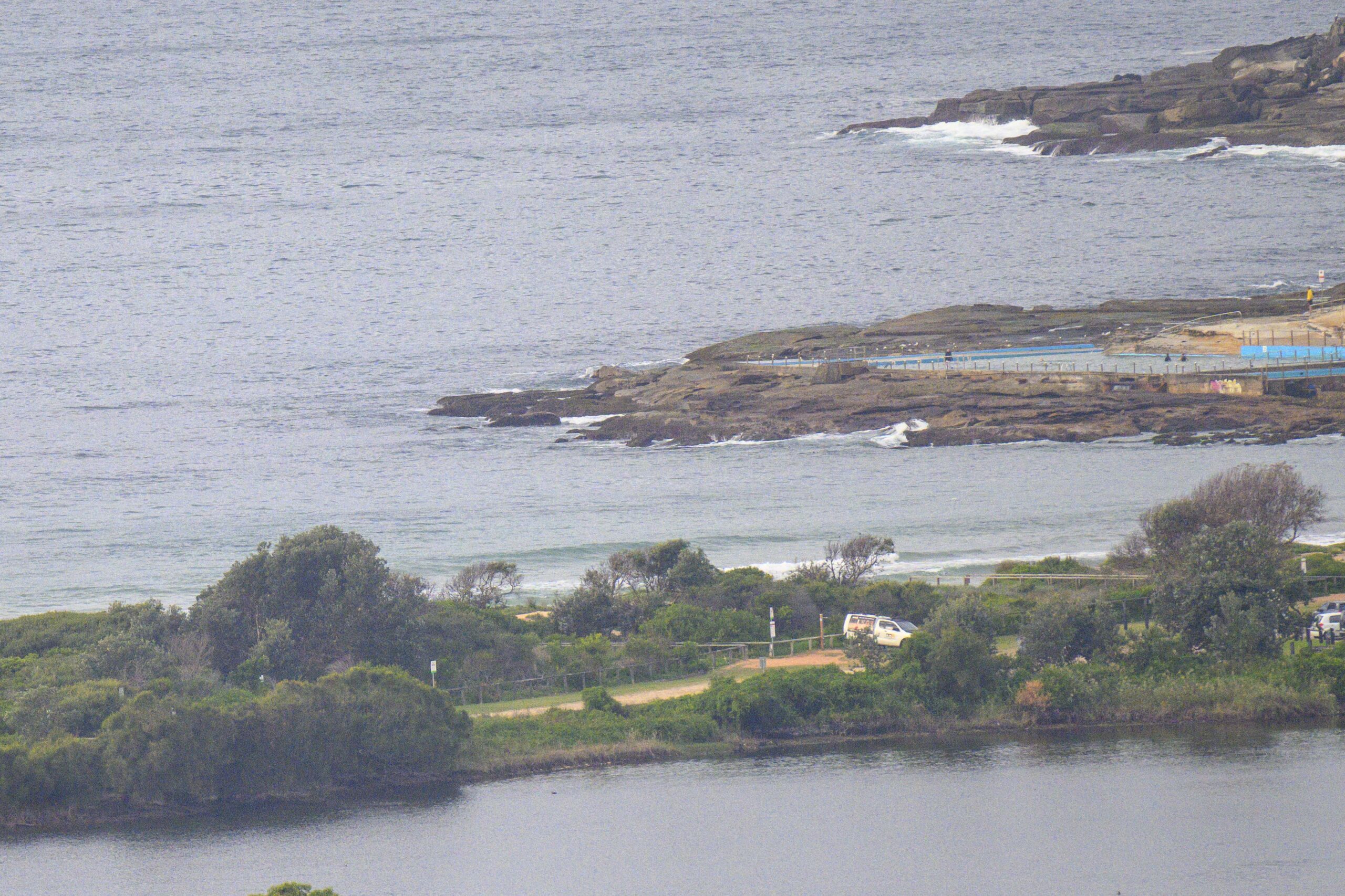
My usual late Sunday start and it looks like all you early birds were rewarded for your noble efforts. The swell’s distinctly smaller – which is in line with the forecasts – but there were still chest plus wave faces on the bigger sets at Dee Why beach this morning before 0900. Wind was light and offshore again and the skies, again, were sparkling and clear. The point was about 1/10th as consistent as the beach, which is probably why there were only a handful bobbing hopefully around there while dozens and dozens were scattered from kiddies on northward to as far as I can see from the crows nest (which is roughly half way from the SLSC to the pole).
Swell is still mainly from the east to ESE and as of 0900 was about a metre at sea with an average period of 11 seconds. Figure knee to waist most places with chest pluses at magnet spots.
Tide’s low at 1215 and then back to high about an hour after sunset – ie 1845.
The Bureau says that a cold front off to the south could cause the offshores to push up significantly later this morning (see below). As of 0915 though there was only a slight breeze.
Outlook is for the swell energy to keep fading through the day while it settles into the east south east. Some of the forecast models offer hope of a little SE swell for tomorrow, but then they go kinda sour for a few days as we await the arrival of a brief small south pulse late in the working week.
Yours truly should have plenty of time to work on the crowdfunding project stuff. So expect more news from me on that front in due course.
Forecast issued at 4:10 am EST on Sunday 4 August 2013.
Weather Situation
A ridge of high pressure lies over northern New South Wales, while a cold front is moving across southeastern NSW into the Tasman Sea. This front is bringing a period of more vigorous winds across southern and central parts of the coast. Conditions will ease somewhat later Sunday and Monday as the front moves away and the ridge briefly becomes dominant. The next front is forecast to traverse the region during Tuesday, with winds again intensifying over southern and central parts .
Forecast for Sunday until midnight
Strong wind warning for Sunday for Sydney Coastal Waters
Winds
Westerly 15 to 25 knots increasing to 20 to 30 knots in the morning then decreasing to 20 to 25 knots in the late evening.
Seas
1.5 to 2.5 metres.
Swell
Easterly around 1 metre.
Monday 5 August
Winds
Westerly 15 to 25 knots turning northwesterly 15 to 20 knots in the middle of the day.
Seas
1 to 2 metres.
Swell
Southerly around 1 metre.
Tuesday 6 August
Winds
Northwesterly 15 to 25 knots turning westerly 15 to 20 knots during the evening.
Seas
1 to 1.5 metres, increasing to 1.5 to 2.5 metres during the morning.
Swell
Easterly around 1 metre.


