Hello Friends,
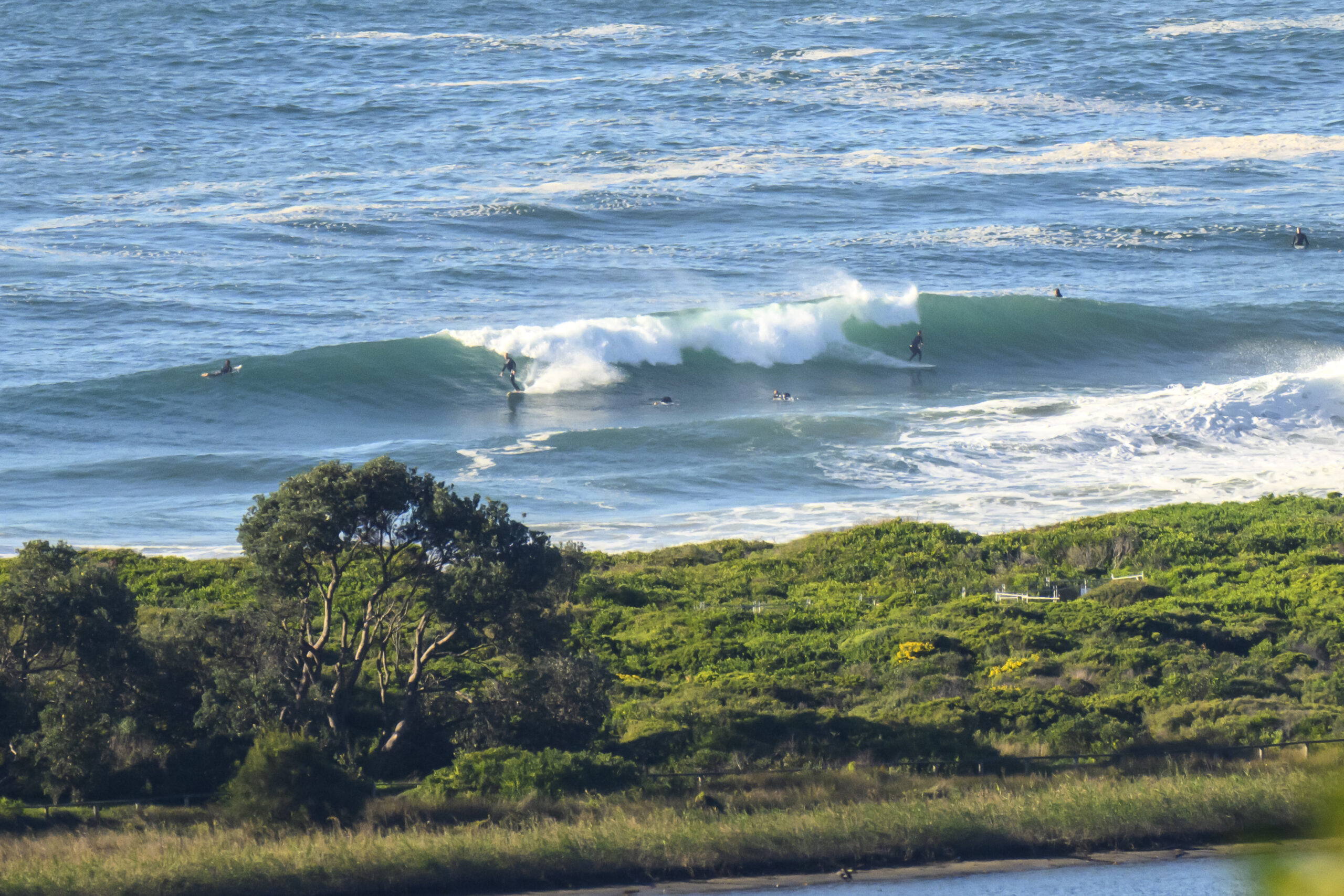
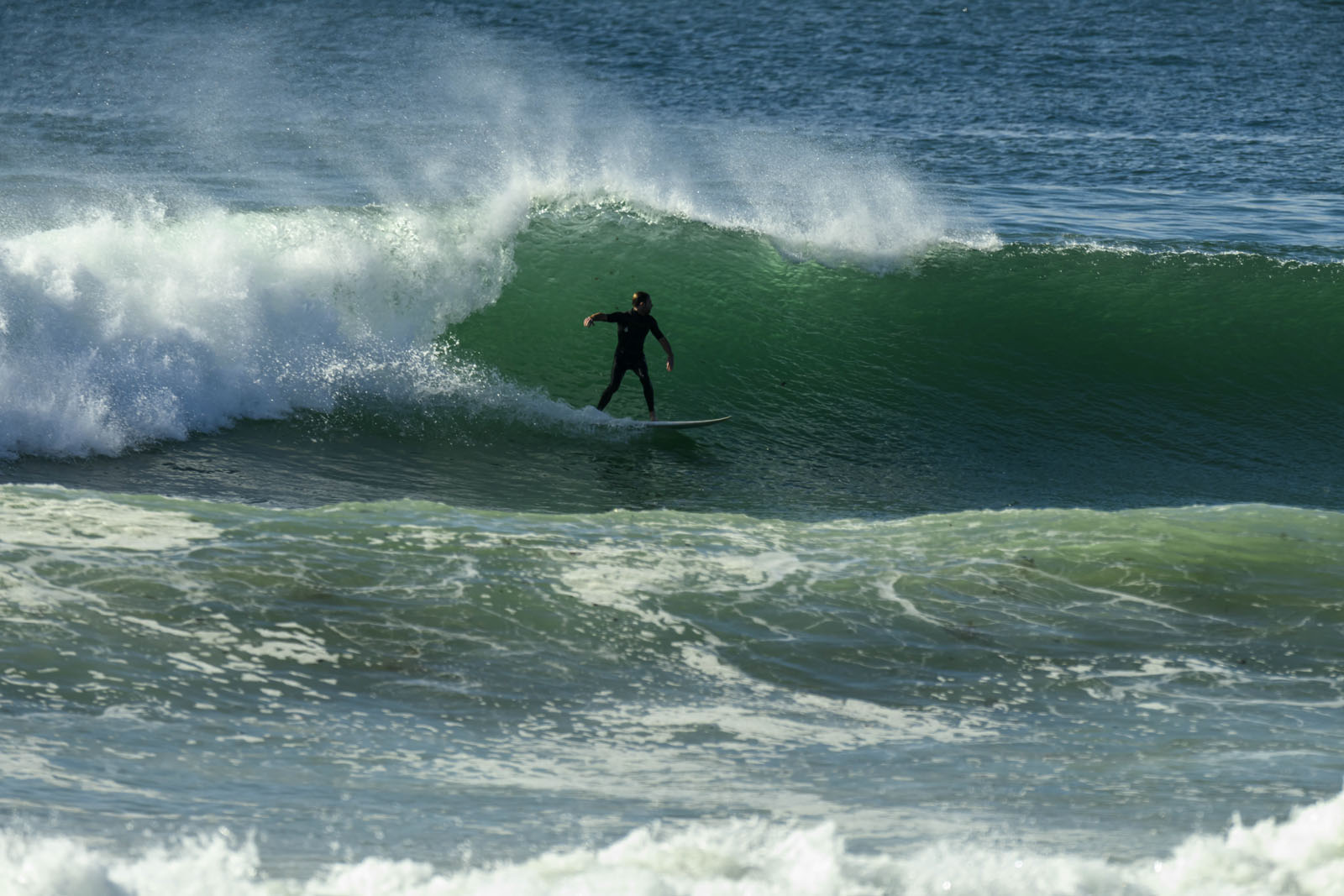
Not much happening this morning, but at least there’s a little something for the keen. At 0700, Dee Why was showing sets into the waist high plus range along the beach – but nothing at the point. The MHL buoy data indicates a SSE swell of about a metre with an average period of a touch under 8 seconds.
It should be a sunny day, but the light NW of the early morning is set to move more north and even NE as it gets up into the 15-25 kt range.
My hunch is that by noon the surf options will have pretty much faded away at most spots. The south magnets will be the last to fizzle out. And, if the swell forecast models have it right, there might be only a trickle of surf opportunities across the next three days. And the longer range forecast… let’s just say that spring looks to have sprung.
Tide is low at 0900 and then back to high at 1545.
Have yourself a great Friday one and all!
Weather Situation
A high pressure system over the western Tasman Sea is moving east and weakening. Later today northerly winds will increase along New South Wales coast ahead of a west to southwesterly change associated with a cold front on Saturday.
Forecast for Friday until midnight
Strong wind warning for Friday for Sydney Coastal Waters
Winds
West to northwesterly about 10 knots tending northwest to northeasterly 15 to 25 knots in the morning then tending northerly 20 to 30 knots in the late evening.
Seas
Up to 1 metre, increasing to 1 to 1.5 metres during the afternoon, then increasing to 2 to 2.5 metres by early evening.
Swell
Southerly 1.5 to 2 metres, decreasing to 1 to 1.5 metres around midday.
Saturday 17 August
Strong wind warning for Saturday for Sydney Coastal Waters
Winds
Northerly 20 to 30 knots tending north to northwesterly 15 to 25 knots early in the morning then tending northwest to southwesterly in the early afternoon.
Seas
1.5 to 2.5 metres, decreasing below 1.5 metres later in the evening.
Swell
South to southeasterly around 1 metre, tending northeasterly 1 to 1.5 metres around midday.
Weather
The chance of thunderstorms from the early afternoon, mainly offshore.
Sunday 18 August
Winds
West to southwesterly 10 to 15 knots becoming north to northwesterly 15 to 20 knots during the afternoon.
Seas
Up to 1 metre, increasing to 1 to 1.5 metres during the afternoon or evening.
Swell
South to southeasterly around 1 metre.The next routine forecast will be issued at 4:05 pm EST Friday.


