
Hello Friends,
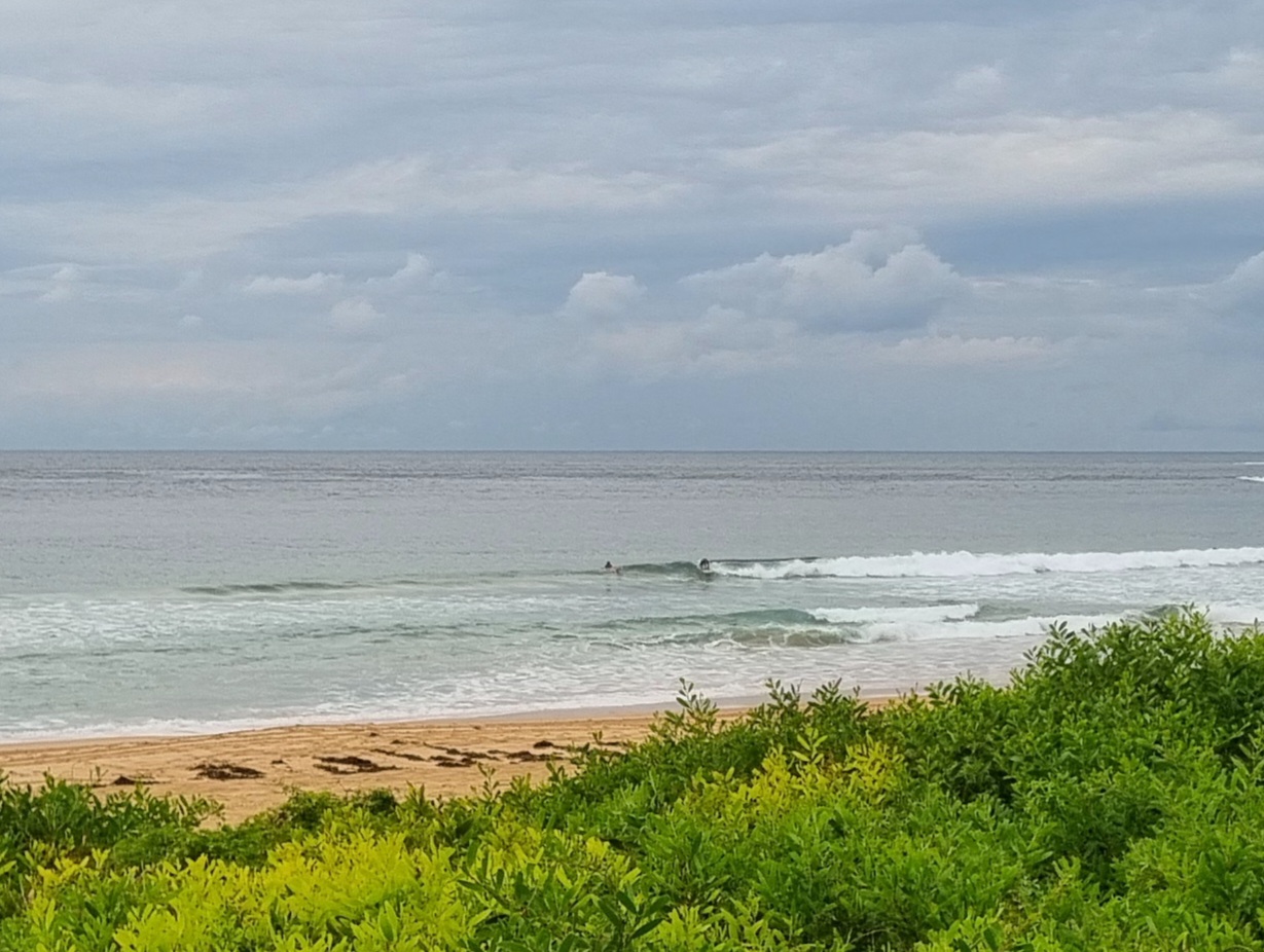
Again very small to near flat this morning. We have about a metre of 10 sec period south swell coming in according to the MHL buoy data. When I first scoped it from the crows nest a little before 0700, there was a tiny knee-ish high line trickling into the southern end of the beach. Winds were light early, but there’s a strong wind warning for N to NE’rs later. That won’t do this swell much good and it could drop the water temps inshore as well. Not that it matters too much because surf prospects are so marginal.
Can’t say I’m too impressed by the outlook. The Bureau’s modelling is showing slightly better prospects than some of the other swell model interpretations out there. The problem is that for some reason, the Bureau’s meteye charts don’t show the direction or period. You have to get that stuff elsewhere and what elsewhere’s showing this morning is another week at least of the current faint swell activity.
Tides aren’t swinging much between the low a little before 0800 and the high at 1440.
I reckon the RealSurf crowdfunding effort is off to a very good start. Yesterday I was thinking about how the first folks to come on board are sorta like the dawn patrol. They’re keen, up early and prepared to go hard. It’s been very cool to see both new, as well as familiar, names turning up. So, are you going to join the dawn patrol today, or do I have to keep workin’ on ya to come for a surf later? Just click here and you can do the deed right now.
Whatever you decide, best wishes for a top old day and keep on smilin’ through!
Forecast issued at 4:10 am EST on Thursday 29 August 2013.
Weather Situation
A high pressure system over the western Tasman Sea extends a ridge towards the northern New South Wales coast, while a low pressure trough approaches the state’s west. Coastal winds will increase ahead of this trough – which is expected to reach the southern coast Friday morning and the northern coast by early Saturday – then ease in it’s wake. Following this, another high is expected to develop across the region during the weekend, promoting a return to generally light wind conditions.
Forecast for Thursday until midnight
Strong wind warning for Thursday for Sydney Coastal Waters
Winds
North to northeasterly 10 to 15 knots, increasing to 15 to 25 knots in the afternoon and 20 to 30 knots in the evening.
Seas
1 to 1.5 metres, increasing to 2 to 3 metres by evening.
Swell
Southerly around 1 metre.
Friday 30 August
Strong wind warning for Friday for Sydney Coastal Waters
Winds
Northerly 20 to 30 knots easing to 15 to 25 knots in the morning then becoming variable about 10 knots in the evening.
Seas
1.5 to 2.5 metres, decreasing below 1.5 metres around midday.
Swell
South to southeasterly around 1 metre, tending northeasterly 1.5 to 2 metres through the day.
Saturday 31 August
Winds
Southwesterly 10 to 15 knots shifting east to southeasterly below 10 knots during the afternoon.
Seas
Around 1 metre.
Swell
Northeasterly 1.5 to 2 metres, decreasing to 1 to 1.5 metres during the morning.

