Hello Friends,
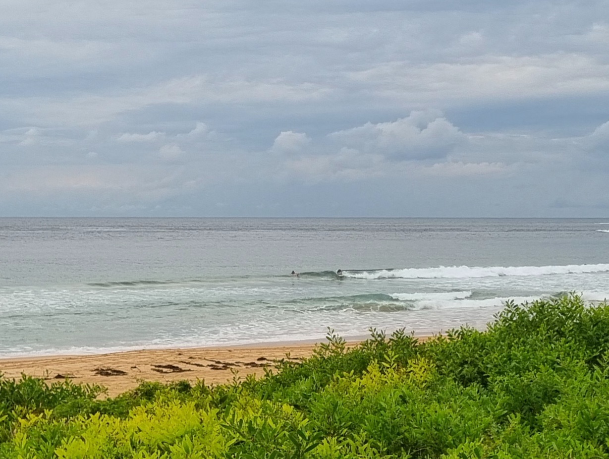
Grey skies over Sydney this morning with gusty north to NW winds and only the barest trickle of short period east wind swell. Although a single, hopeful surfer was on duty out in front of the DYSLSC, I could see no evidence of anything actually catchable coming in. The ocean is pretty choppy and the metre of east wind swell is only 6 seconds apart.
The wind is set to go around to the SW late. Not that it matters all that much as there is no sign of an improvement to the swell energy settings. This morning’s swell prediction model interpretations and the Bureau’s meteye forecast are telling us that it’ll be pretty much like this through to Thursday afternoon late, when a brisk SW wind change could be accompanied by a very brief straight south pulse. From what I can see, the energy from that pulse will peak during the night hours leaving us with our best shot on Friday morning for the early.
The lull happens to suit me personally because I’ve got a new edition of Photo Review Australia to get rounded up and headed in the right direction. And I’ve gotta keep chasing hard on the crowdfunding effort because we’re still adrift of the target and we’re getting down to the last weeks. Tell you what, it’d be a fine thing if you could dive in and sort your pledge today!
Have yourself a top old Tuesday and get up to some good where you can!
Forecast issued at 4:10 am EST on Tuesday 1 October 2013.
Weather Situation
A high pressure system over the Tasman Sea will move slowly to the east over the next few days. Strong to gale force north to northwesterly flow is developing ahead of a cold front which will move across New South Wales today, with winds shifting to west southwesterly along the southern and central coast by this evening. A second, weaker front is expected to follow late Wednesday/Thursday. Another high pressure ridge is then expected to develop across southeastern Australia on Thursday/Friday.
Forecast for Tuesday until midnight
Strong wind warning for Tuesday for Sydney Coastal Waters
Winds
North to northwesterly 25 to 30 knots shifting west to southwesterly 20 to 30 knots in the late afternoon.
Seas
2 to 3 metres.
Swell
Northeasterly 1 to 1.5 metres.
Weather
The chance of thunderstorms offshore during this afternoon and evening.
Wednesday 2 October
Winds
West to southwesterly 15 to 25 knots turning northwesterly 10 to 15 knots in the morning.
Seas
1 to 2 metres, decreasing below 1 metre during the morning, then increasing to 1 to 1.5 metres later in the evening.
Swell
Northeasterly 1 to 1.5 metres, tending southeast to southwesterly around 1 metre during the morning.
Thursday 3 October
Winds
West to northwesterly 15 to 20 knots turning south to southwesterly 20 to 30 knots during the day.
Seas
1 to 1.5 metres, increasing to 2 to 3 metres during the morning.
Swell
Northeasterly below 1 metre, tending southerly 1 to 2 metres during the evening.

