

Hello Friends,
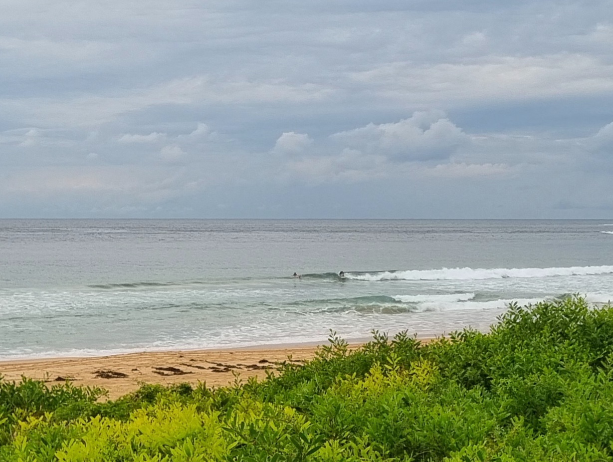
Pretty spring morning with an incoming tide and a fading SE wind swell. At 0500 the MHL buoy was picking up about 1.5 metres of 8.5 second ESE-SE wind swell. When I checked it around 0630, there were occasional waist to chest plus wave faces to be had from south to north Narrabeen. From Dee Why to the Pole, it was chest plusses and more consistent (with larger crowds too). There should be heaps of spots from Curly northward along the beaches with a wave of some sort this morning.
Tide is high at 0800 and then drops nearly 2 metres to the low at 1415.
Wind is set to be NW this morning but to go more N to NE for the afternoon session.
I’d get out now if I could!
Forecast issued at 4:10 am EST on Saturday 5 October 2013.
Weather Situation
A high pressure system lies over southeast Australia. A cold front is expected to cross NSW during Sunday and Monday bringing a fresh to strong southerly wind change.
Forecast for Saturday until midnight
Winds
Northwesterly 10 to 15 knots turning north to northeasterly in the early afternoon then tending north to northwesterly in the late evening.
Seas
Below 1 metre.
Swell
Southerly 1.5 metres, tending southeasterly 1 to 1.5 metres during the morning.
Sunday 6 October
Winds
Variable about 10 knots becoming north to northeasterly 10 to 15 knots in the late afternoon then turning west to northwesterly in the late evening.
Seas
Around 1 metre.
Swell
Southeasterly 1 to 1.5 metres, decreasing to around 1 metre around dawn.
Monday 7 October
Winds
West to southwesterly 15 to 20 knots turning south to southeasterly during the day.
Seas
Around 1 metre, increasing to 1.5 to 2 metres during the evening.
Swell
East to southeasterly around 1 metre.
Weather
The chance of thunderstorms in the evening.

