Hello Friends,
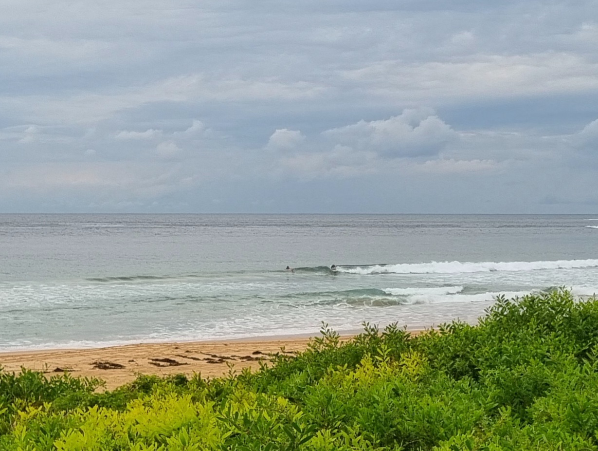
I wish the Bureau’d been wrong about this morning, but here we are with just over half a metre of east showing faintly on the 0500 directional spectra data from MHL. A reasonable number of hopefuls bobbing about on a warm and sunny morning at Dee Why, but apart from something in the sub-waist range, I really couldn’t see any compelling reason to be trying to catch waves when I first checked at 0845.
According to this morning’s forecast, we’re in for a warm week ahead with tmeps in the mid to upper twenties. Surf? What’s that? Looks like early will be best when the surface conditions will be most favorable for the expected knee to waist conditions that apparently are all we can hope for across at least the next week.
On we roll everybody, let’s be good to each other and take it cruisy. The good days will come again…
Weather Situation
A cold front is crossing the southern Tasman Sea bringing a weak southerly change along New South Wales south and central coasts. A high pressure system south of the Bight is moving east extending a ridge behind the front. The high will move over the southern Tasman Sea during Sunday and become slow-moving from Monday onwards strengthening the ridge to the north coast.
Forecast for Sunday until midnight
Winds
Southeasterly about 10 knots increasing to 10 to 15 knots in the early afternoon.
Seas
Around 1 metre.
Swell
East to northeasterly below 1 metre.
Monday 13 January
Winds
Variable about 10 knots.
Seas
Below 1 metre.
Swell
Southerly around 1 metre.
Tuesday 14 January
Winds
Northeasterly below 10 knots, increasing to 15 to 20 knots during the evening.
Seas
Around 1 metre, increasing to 1.5 metres during the evening.
Swell
Southerly around 1 metre.

