Hello Friends,
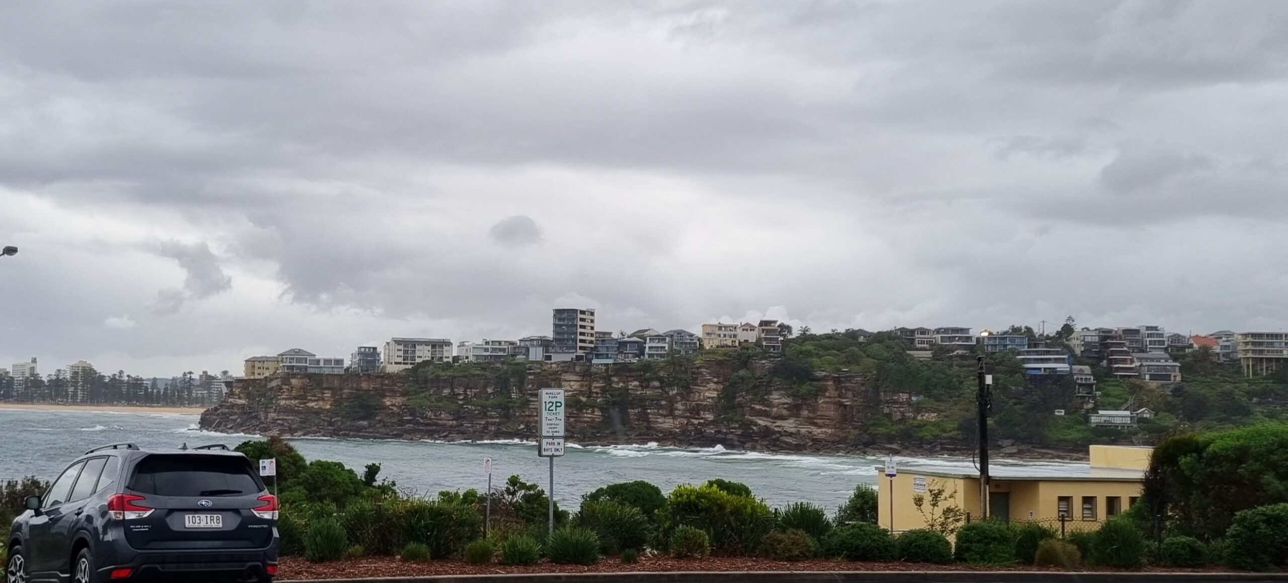
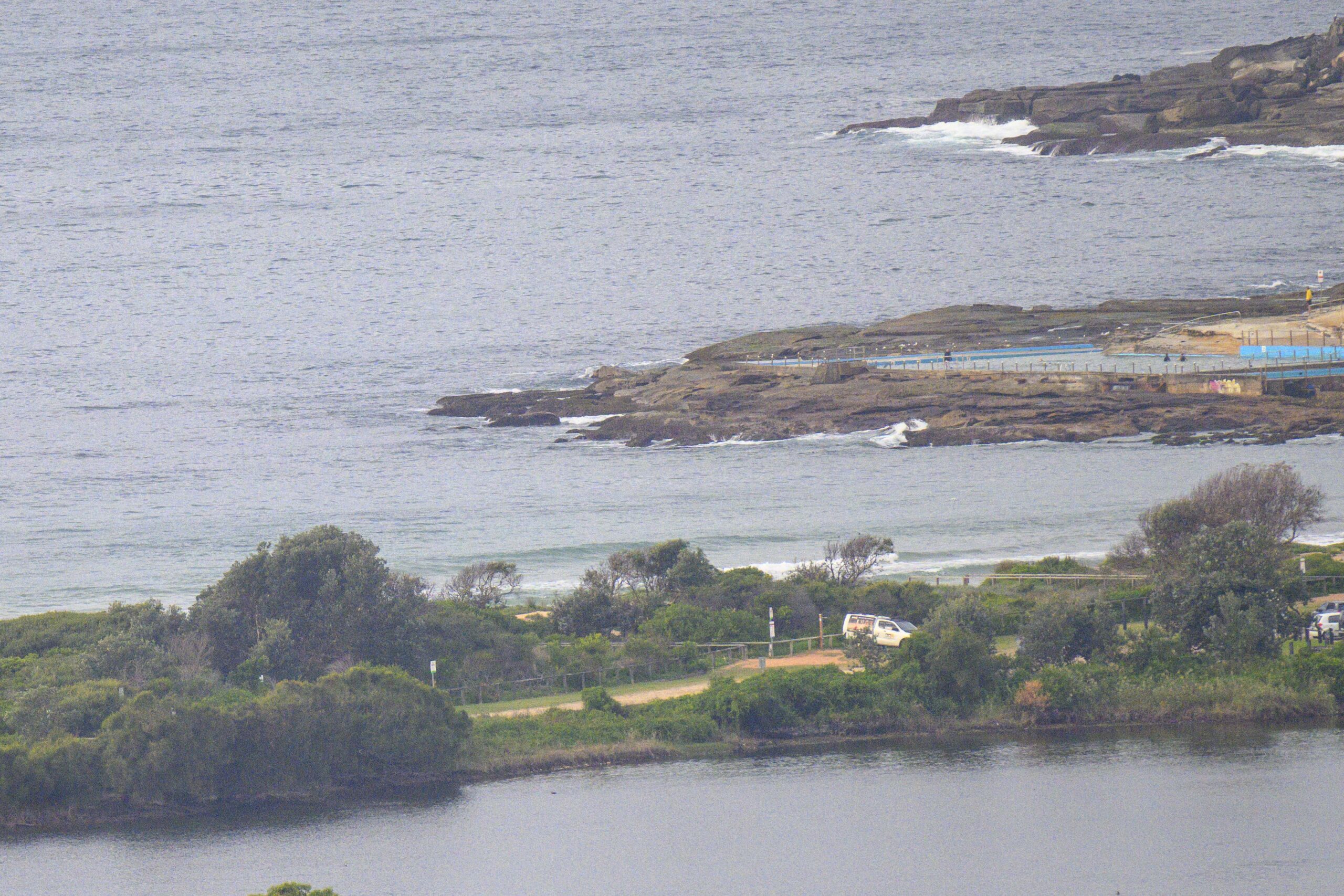
Vigorous S-SSW wind was making nice with Dee Why point where we had 1.5 metres of 14 sec ESE swell delivering waist to head high plus wave faces around 0800. About a dozen folks in the water chasing the reasonably consistent offerings under gloomy skies. Tide’s low at 0920, so after the turn, we might get a little extra push. However, the Bureau says the wind will be S-SE in the late afternoon. So, this morning looks like the plan. Not a great outlook weatherwise though as we’re due to see increasing rain as the day goes along.
Outlook for tomorrow is continuing mainly east swell, but it’s likely to be noticeably smaller as it tails off into small conditions from about Wednesday onward. Wind will be from the NE tomorrow and it’s set to be cloudy but with the rain easing off.
Longer term outlook isn’t too interesting according to the models. If they have it right, the coming 10 days could see mostly sub-waist high conditions across the period.
Hope your Monday is a good one!


Forecast issued at 4:10 am EDT on Monday 24 March 2014.
Weather Situation
A broad low pressure trough near New South Wales coast will weaken today as a high pressure system moves towards Tasmania extending a ridge to the northern Tasman Sea. This high will move east of Tasmania during Tuesday strengthening the ridge to the north coast. This high is expected to be slow-moving over the next few days.
Forecast for Monday until midnight
Strong Wind Warning for Monday for Sydney Coastal Waters
Winds
South to southwesterly 20 to 25 knots tending south to southeasterly 20 to 30 knots in the late afternoon and evening. Winds offshore tending north to northwesterly 15 to 20 knots early this morning.
Seas
1 to 1.5 metres.
Swell
Easterly 1.5 to 2 metres.
Weather
The chance of thunderstorms until later tonight.
Caution
Deceptively powerful surf conditions are expected to be hazardous for coastal activities such as crossing bars by boat and rock fishing.
Tuesday 25 March
Winds
East to northeasterly 10 to 15 knots, reaching up to 25 knots inshore early in the morning.
Seas
Around 1 metre.
Swell
Easterly 1.5 to 2 metres.
Weather
Isolated thunderstorms, more frequent offshore.
Wednesday 26 March
Winds
Northeasterly 15 to 20 knots.
Seas
1 to 1.5 metres.
Swell
Easterly 2 metres, decreasing to 1 to 1.5 metres.


