Hello Friends,
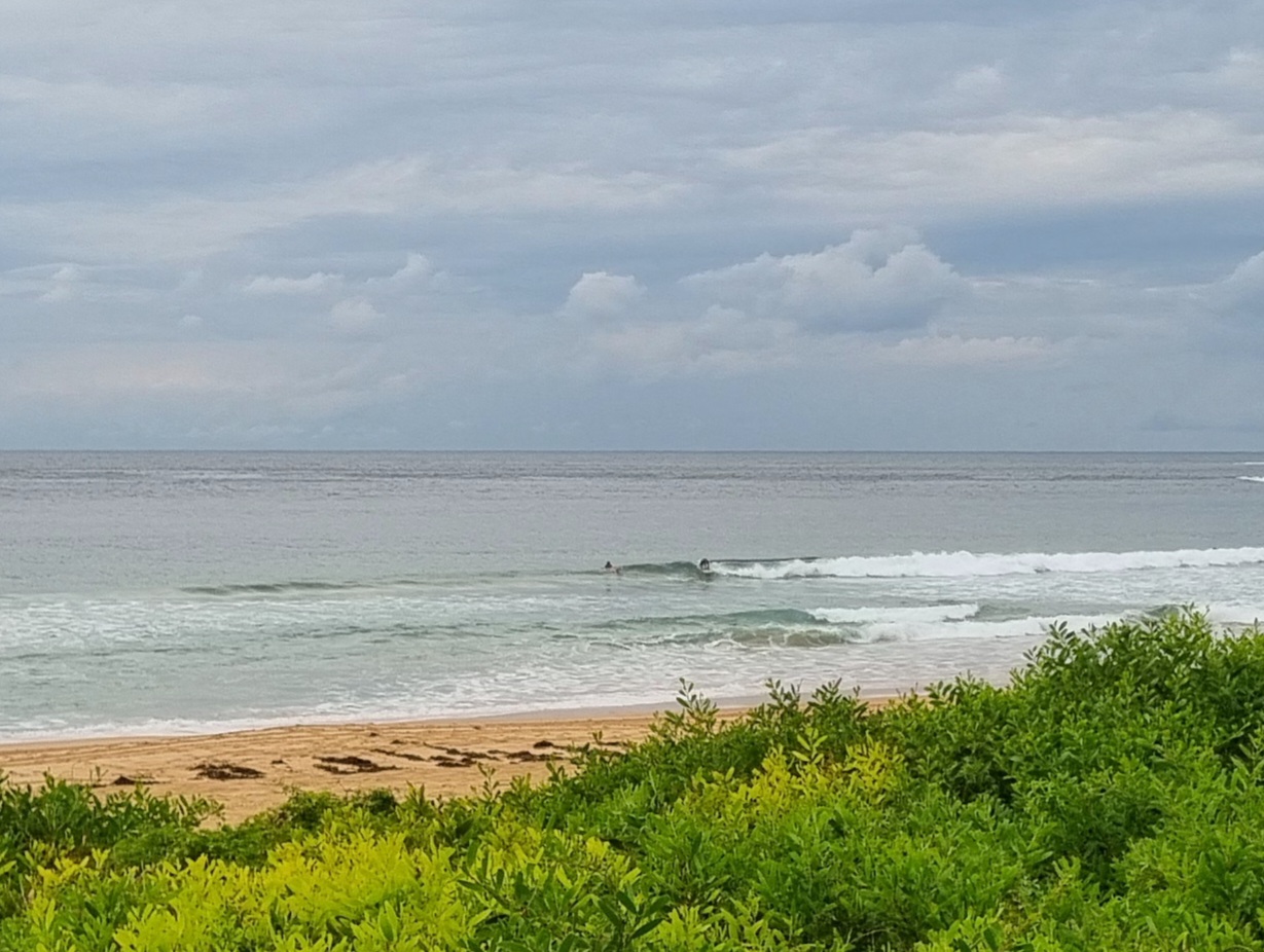
Lovely start to the day at Dee Why. 1.5 metres of 8-9s period SE swell and light wind under mainly clear skies delivering waist to shoulder plus wave faces at the point and along the beach at 0700.
Point looked moderately busy (a dozen or so on it) but the beachy was more lightly populated – no doubt due to the continuing high percentage of shutdowns.
It’s set to cloud up later and the wind call is for east to NE at 10-15 kts. Swell is due to cog down later as we head toward smaller conditions approaching the weekend. This morning’s long range models are predicting some fun size energy around late Saturday to early Sunday, and next week is shaping to be interesting in terms of swell, but less so on the wind front when it currently looks like lots of southerly wind…
Anyway, today the tide’s low at 1020 and back to high at 1635.
Keep on smilin’ everybody!


Weather Situation
A high pressure system over the southern Tasman Sea extends a ridge over the New South Wales north coast. The high is expected to be slow moving over the next few days. A low pressure trough will move across the coast during Friday bringing a westerly wind change to most areas.
Forecast for Wednesday until midnight
Winds
East to northeasterly 10 to 15 knots.
Seas
Below 0.5 metres.
Swell
Southeasterly 1 to 1.5 metres, decreasing to around 1 metre later in the evening.
Thursday 10 April
Winds
East to northeasterly 10 to 15 knots.
Seas
Below 0.5 metres.
Swell
Southeasterly around 1 metre.
Friday 11 April
Winds
Northerly 15 to 20 knots tending northwesterly during the evening.
Seas
1 to 1.5 metres.
Swell
Easterly below 1 metre.
Weather
The chance of thunderstorms.

