Hello Friends,
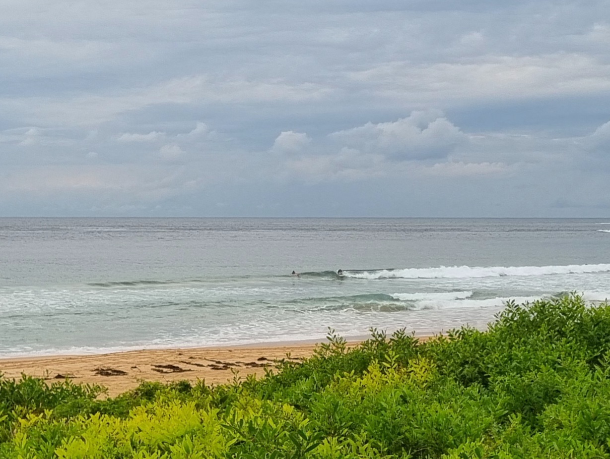
If you were on it from before 0600 at Dee Why point this morning, there were set waves into the head plus range (on faces). Surface was still relatively smooth too, but the WSW wind was already 10-15 kts and on its way to 25-35 kts before going southerly at 30-40 kts by around lunch time. Your window of opportunity is ever so brief.
Swell is due to peak today in the 3-4 metre range. At 0400 it was SSW at around 3 metres with a 10 second period. From the forecasts it looks as though it’ll drop back a bit overnight, but it could very well be around the present size again tomorrow morning. Wind’ll still be strong at 20-25 kts says the Bureau, but at least it’ll be SW at first (like today) so there might be the odd opportunity around the place.
Wind is shaping to be an issue across the front half of next week, but according to all the models, we should have a steady supply of of SSE swell through to next weekend. The very long range modelling has the wave energy dying away from around Tuesday week and if they’re right, we’ll have micro conditions for an extended period. Hope they’re wrong on that one and right on the shorter term.
I’ll get out with the cameras this morning to see what I can find, so maybe check back later.
And have yourself a top old Saturday!
Tides H @0520, L 1150


Weather Situation
A low pressure system is currently developing off the southern NSW coast near the Victorian border. It is forecast to deepen and move slowly to the north/northeast tonight and Saturday, bringing gale force winds and large waves to the southern coast late today, extending to central part of the coast during Saturday. The system is then expected to move slowly east/southeast away from the coast later Saturday and Sunday, with winds gradually easing as a high pressure ridge strengthens across the region.
Forecast for Saturday until midnight
Gale Warning for Saturday for Sydney Coastal Waters
Winds
Southwesterly 25 to 35 knots turning southerly 30 to 40 knots in the late morning and afternoon.
Seas
2.5 to 3 metres, increasing to 3 to 4 metres during the morning, then decreasing below 3 metres later in the evening.
Swell
Southeasterly increasing to 2 to 3 metres around dawn, then increasing to 3 to 4 metres offshore later in the evening.
Weather
The chance of thunderstorms.
Caution
Large and powerful surf conditions are expected to be hazardous for coastal activities such as crossing bars by boat and rock fishing.
Sunday 13 April
Strong Wind Warning for Sunday for Sydney Coastal Waters
Winds
Southwesterly 20 to 25 knots, reaching up to 30 knots in the morning. Winds turning southerly 15 to 25 knots in the early afternoon.
Seas
2 to 3 metres, decreasing below 2 metres during the afternoon.
Swell
Southeasterly 3 to 4 metres, decreasing to 2.5 to 3 metres before dawn.
Caution
Large and powerful surf conditions are expected to be hazardous for coastal activities such as crossing bars by boat and rock fishing.
Monday 14 April
Winds
Southerly 15 to 20 knots.
Seas
1 to 1.5 metres.
Swell
Southeasterly 2 to 2.5 metres.
Please be aware
Wind gusts can be 40 percent stronger than the averages given here, and maximum waves may be up to twice the height.
Nearby Coastal WatersThis forecast is also available via scheduled broadcasts on marine radio.
Latest Coastal Observations
Tide Predictions
The next routine forecast will be issued at 4:05 pm EST Saturday.

