Hello Friends,
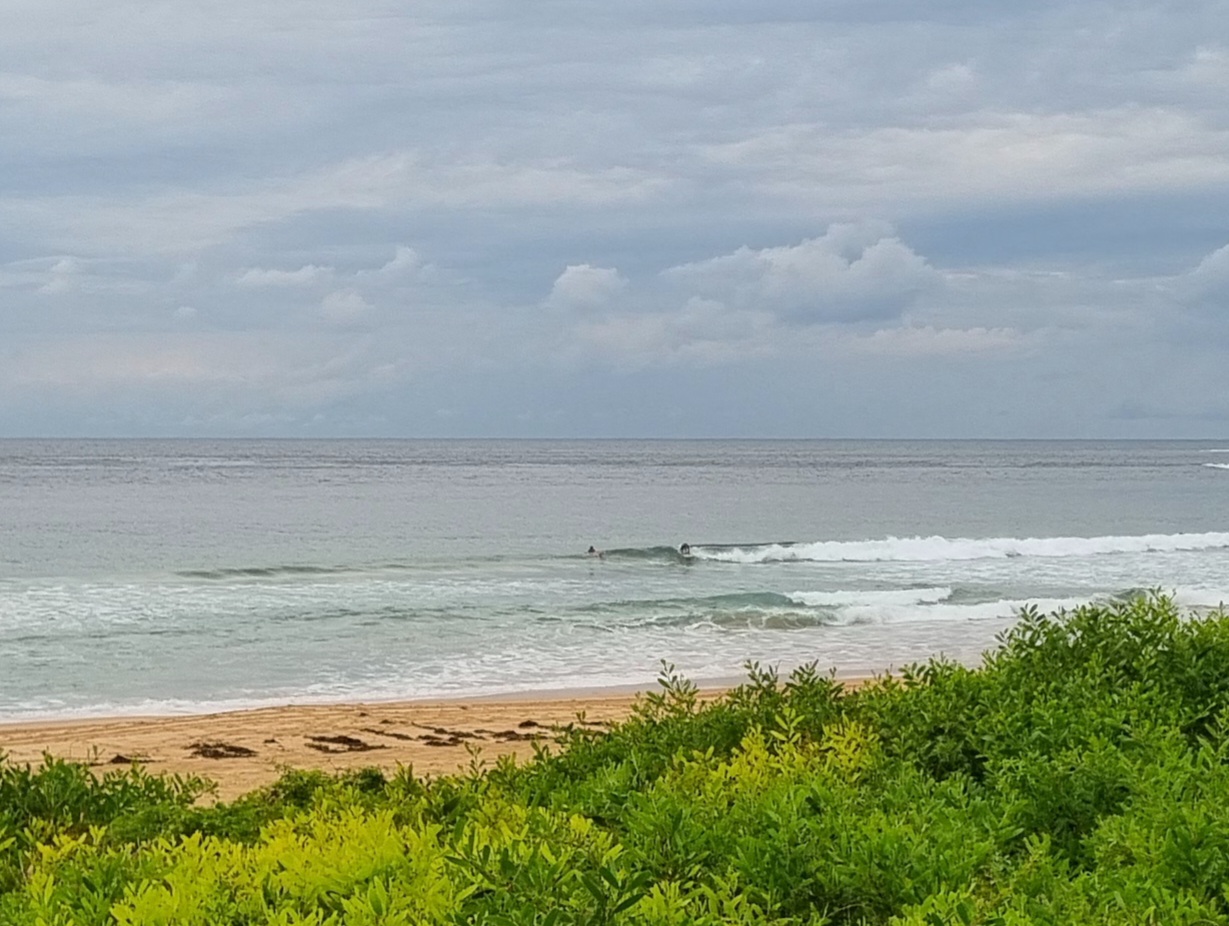
Anzac Day started out grey and rainy but weirdly mild. As anticipated the change last night has brought with it 2.5 metres of 11 second SSE swell. From the look of the buoy data north and south of us, the energy is confined mainly to our region. Eden and Coffs buoys are showing only half a metre, so I’d say this event is going to be a brief one.
The problem is that we’ve also got 15-20 kts of ESE wind churning up the sea. It’s pretty chaotic looking at Dee Why, although there are head high wave faces every now and again. The Bureau says the wind will go NE this afternoon and the swell will drop off pretty quickly. Whether or not we’ll have a transitional period when wind and swell come together to make something fun remains to be seen. My punt is that you’ve probably got a better chance at coming away a winner from two-up this afternoon.
Next tide is a low at 1115, so maybe on the incoming tide at south magnet spots…
Of greater interest is the outlook for early in the week – at least according to some of the models. They’re showing it dropping away to dribble tomorrow and onshore but coming up Sunday into Monday. Then late Monday the winds get more favourable and the swell starts to ramp. Tuesday morning currently looks particularly interesting as the short-lived long period swell peaks and then fades away to be almost gone Wednesday morning.
Wonder if it’ll play out like that…
Have yourself a great Anzac Day and a heartfelt thanks to all those who sacrificed so much. We will remember you.


Weather Situation
A high over the northern Tasman Sea extends a weak ridge to southeast Queensland, while a deep low lies well south of Tasmania. A cold front will weaken fairly rapidly on the Mid North Coast during Friday as a high pressure system moves from the Bight to the Tasman Sea. Another cold front is forecast to reach the southern coast later Saturday, continuing through to the Queensland border on Sunday.
Forecast for Friday until midnight
Winds
East to southeasterly 15 to 20 knots turning northeasterly in the afternoon.
Seas
1 to 2 metres, decreasing below 1 metre during the morning, then increasing to 1 to 1.5 metres by early evening.
Swell
Easterly below 1 metre, tending southerly 1 to 2 metres around dawn, then decreasing to around 1 metre by early evening.
Weather
Isolated thunderstorms.
Saturday 26 April
Winds
Northerly 15 to 25 knots tending northwesterly 15 to 20 knots in the early afternoon then tending northwest to southwesterly in the late afternoon.
Seas
1.5 metres, increasing to 1.5 to 2 metres during the morning, then decreasing below 1 metre during the afternoon.
Swell
Southerly around 1 metre.
Sunday 27 April
Winds
Southwesterly 20 to 25 knots turning southeasterly 15 to 20 knots during the morning.
Seas
2 to 2.5 metres, decreasing below 1.5 metres during the afternoon.
Swell
Southerly below 1 metre, increasing to 1 to 1.5 metres during the morning.

