Hello Friends,
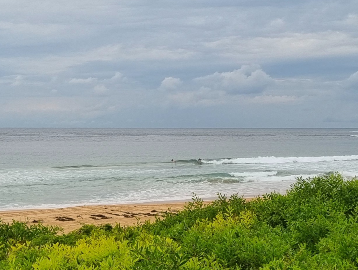
Looked as though everyone was in the water today. I don’t think I’ve seen so many spots so crowded in a very long time. The morning started nearly flat, but by 1100 or so all the south magnet spots were firing up big time. The wind got pretty strong in the middle part of the day, but by late afternoon it had dropped back and the joint was jumping.
I got a few pictures of the am session at Long Reef and I’m currently uploading a representative sample to my galleries. There was a comp on and they had their own shooter, but hey, you never know, maybe I got the better shot of you…! Anyway the pics should be online for you tomorrow.
As of 1600 the swell was showing in Sydney as mainly from the SSW at a couple of metres but packing a serious 14 second period. Wave faces were shoulder to overhead and a half at Dee Why. The beach was mostly shutting down because the lines are so long, but the point was showing in a big way.
Swell seems to have peaked down south, so I’m thinking it’ll do the same overnight for us. The big question is whether or not the low will move out into a more SE swell window. I sure hope so because I’m committed to a trip north and I don’t want it to miss us.
While the swell will drop back, the outlook for the remainder of the week remains ok for wave energy. It looks like we get a south change through on Tuesday, so the offshore regime will be replaced by a much less favourable southerly one. And it’ll also be back to showery weather as well. But there should be surfable size swell through next weekend and the winds will likely go SW in the mornings. All good!
Have a great Sunday evening and catchya again tomorrow morning!


Weather Situation
A deep complex low is located east of Tasmania. Strong to gale force winds should ease by late tonight as the low moves away and the next high pressure ridge extends across from the west to be centred to the west of Tasmania for several days. This high should direct a southwest to southerly airstream along the coast before moving to the southern Tasman Sea later in the week.
Forecast for Sunday until midnight
Strong Wind Warning for Sunday for Sydney Coastal Waters
Winds
Westerly 20 to 25 knots, reaching up to 30 knots at times.
Seas
2 to 2.5 metres.
Swell
Southerly 2.5 to 3 metres, increasing to 3 to 4 metres offshore later in the evening.
Caution
Large and powerful surf conditions in the afternoon and evening are expected to be hazardous for coastal activities such as crossing bars by boat and rock fishing.
Monday 5 May
Winds
West to southwesterly 15 to 20 knots decreasing to 10 to 15 knots in the afternoon.
Seas
1.5 to 2 metres, decreasing below 1.5 metres during the morning, then decreasing below 1 metre around midday.
Swell
Southerly 3 to 4 metres, decreasing to 2.5 to 3 metres around midday.
Caution
Large and powerful surf conditions are expected to be hazardous for coastal activities such as crossing bars by boat and rock fishing.
Tuesday 6 May
Winds
Westerly 10 to 15 knots turning southerly 15 to 25 knots in the late morning.
Seas
Around 1 metre, increasing to 1.5 to 2 metres around midday.
Swell
Southerly 1.5 to 2.5 metres, tending southeasterly 1.5 to 2 metres during the afternoon, then tending southerly 2.5 metres later in the evening.
Wednesday 7 May
Winds
Southerly 20 to 30 knots.
Seas
1.5 to 2.5 metres.
Swell
Southerly 2.5 to 3 metres.

