Hello Friends,
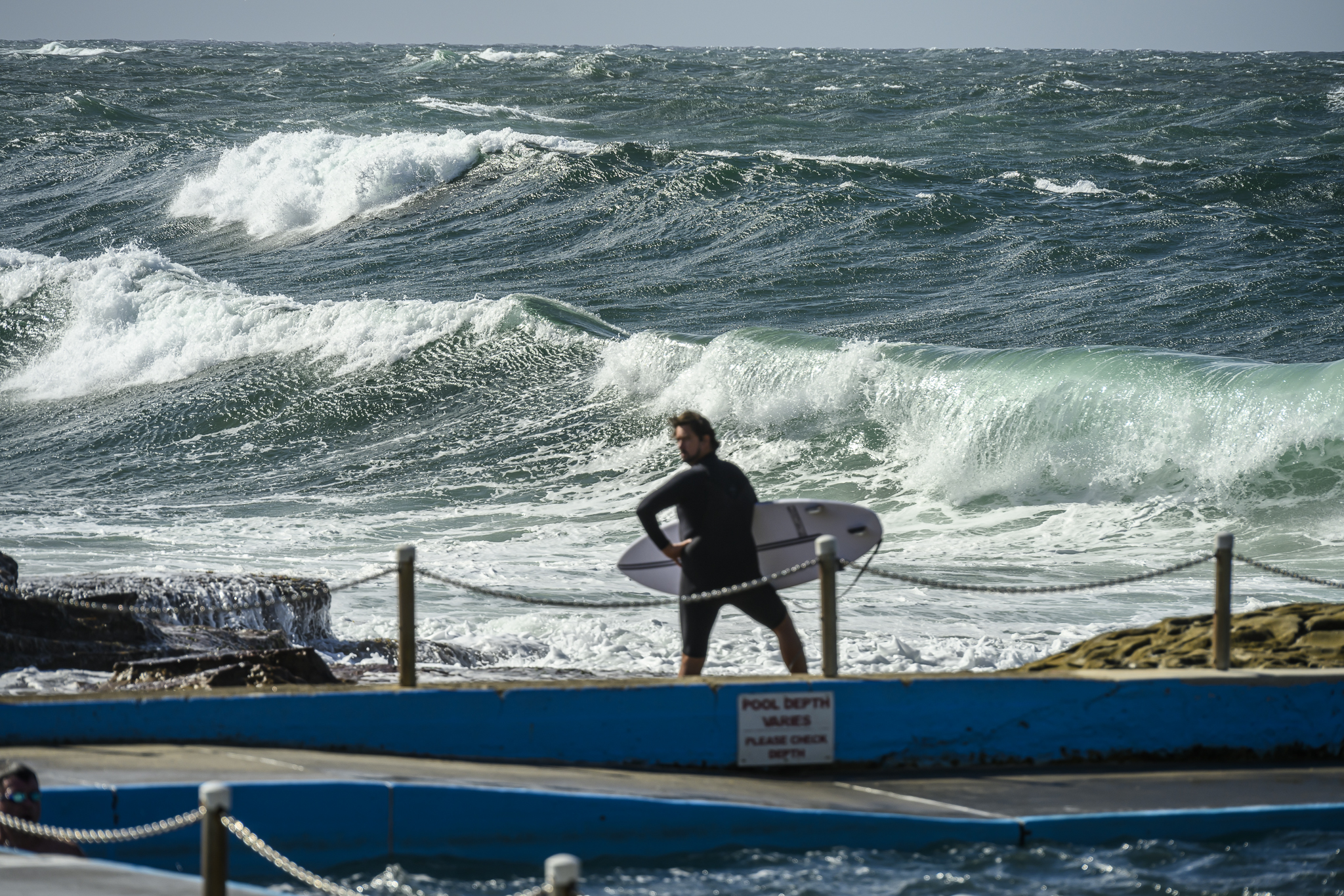
A mix of 8-9s east and 11-12s SE swell is delivering waist to chest plus waves along the Dee Why stretch. It should be a good combo for elsewhere too. Weather should be sunny all day and the wind is set to be westerly as well.
Tide was low at 0600 and will therefore be back to high at 1210 or thereabouts. A little swell, offshores, sunny skies, incoming tide – should be a worthy morning for a splash I’d say. Might look around for a picture or two myself.
Swell forecasts this morning tell us the energy levels will gradually drop across the next 24 hours and that it could be pretty small across the back half of the week. Interestingly, one of the projections has a major pulse developing next week. Unfortunately the wind outlook is not good for the first few days of it. Fortunately (assuming the forecast ends up having anything to do with reality!) those winds might drop into the do-able range in the latter part of next week… hey, it might be right…
Have yourself a great Tuesday every one.


Weather Situation
A low pressure system off the eastern Victorian coast will move southeast during today as a high pressure ridge builds across New South Wales.
Forecast for Tuesday until midnight
Winds
Westerly 10 to 15 knots.
Seas
Below 1 metre, increasing to 1 to 1.5 metres offshore later in the evening.
Swell
Easterly 1 to 1.5 metres.
Wednesday 4 June
Winds
Westerly 10 to 15 knots, reaching up to 20 knots offshore early in the morning. Winds turning south to southwesterly below 10 knots in the morning becoming south to southeasterly in the late evening.
Seas
Around 1 metre.
Swell
Easterly around 1 metre.
Thursday 5 June
Winds
Southeasterly about 10 knots.
Seas
Below 1 metre.
Swell
Easterly below 1 metre.
Weather
Isolated thunderstorms offshore.


