Hello Friends,
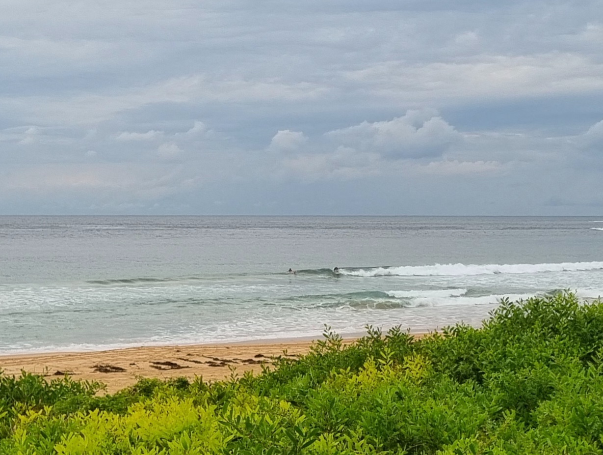
Wind was offshore this morning and the 9 second SE swell was showing the odd shoulder high set at Dee Why. Hardly anyone in the water for some reason. It did seem to be very inconsistent though. Wind is set to go SE later and be up to 10-15 kts, so once again the plan is to get in early.
Tide was high at 0625 and is now dropping to the low at 1215.
Swell is set to weaken across the next 24 hours, but at least tomorrow will see light and variable winds and some waist to chest plus swell. Friday should see a boost to swell energy later in the afternoon. The modelling shows the energy fading through Saturday and Sunday, but coming back up again for Monday – and potentially being very good.
Have a great Wednesday everyone!


Weather Situation
A slow-moving belt of high pressure stretches from the southern Tasman Sea across New South Wales and into central Australia, while a complex low pressure system is situated near New Zealand. A trough and associated cold front, currently over Western Australia, will progress steadily east during the next few days, and a low is expected to develop within the trough as it approaches the New South Wales border on Thursday. Coastal winds are expected to turn more northerly ahead of this system, before a west to southwesterly change on the weekend.
Forecast for Wednesday until midnight
Winds
Southeasterly 10 to 15 knots.
Seas
Below 1 metre.
Swell
Southeasterly 2 metres.
Thursday 12 June
Winds
Variable about 10 knots becoming northerly 10 to 15 knots in the afternoon.
Seas
Below 1 metre.
Swell
Southeasterly 1.5 to 2 metres.
Friday 13 June
Winds
Northerly 10 to 15 knots.
Seas
Around 1 metre.
Swell
Southeasterly 1.5 metres, increasing to 2 metres during the afternoon or evening.
Weather
The chance of thunderstorms inshore in the evening.
nds,

