Hello Friends,
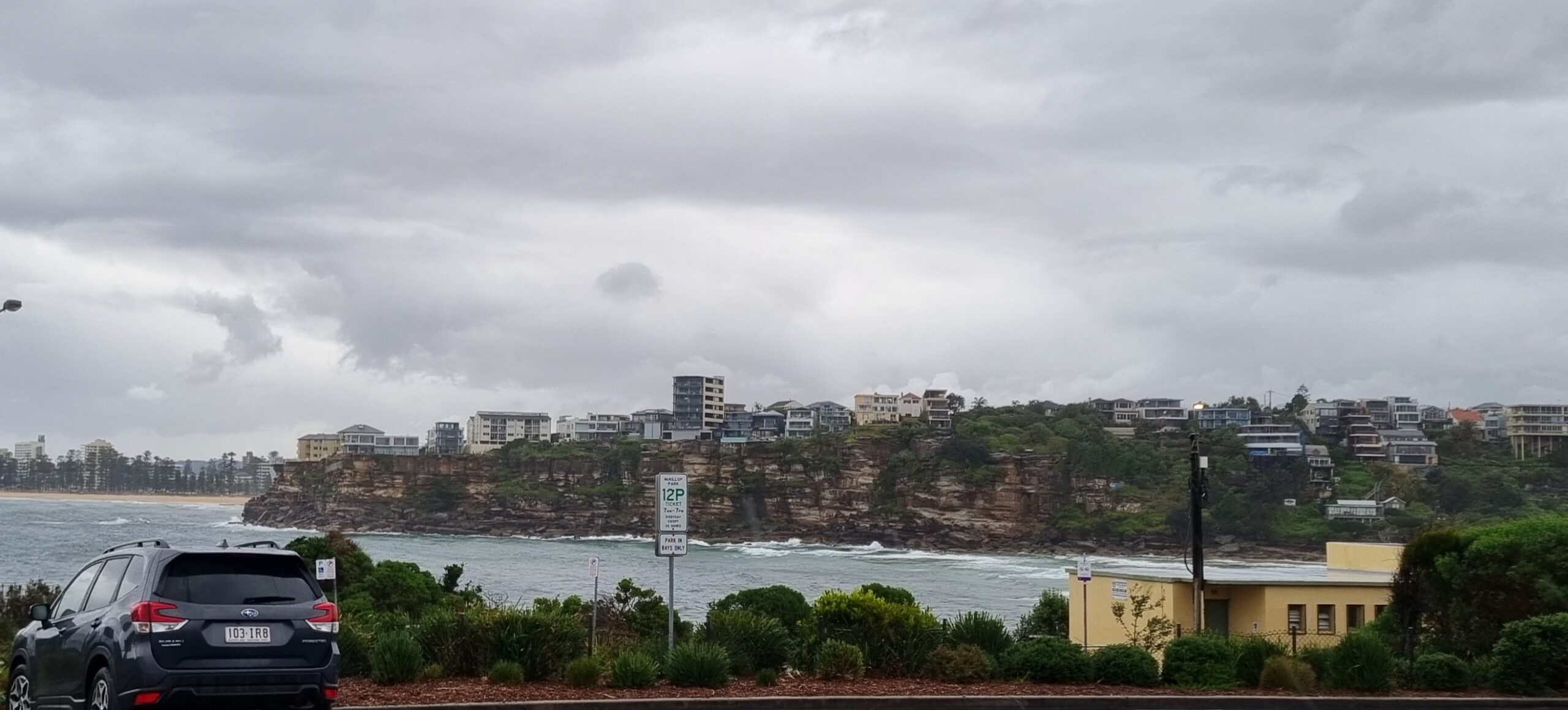
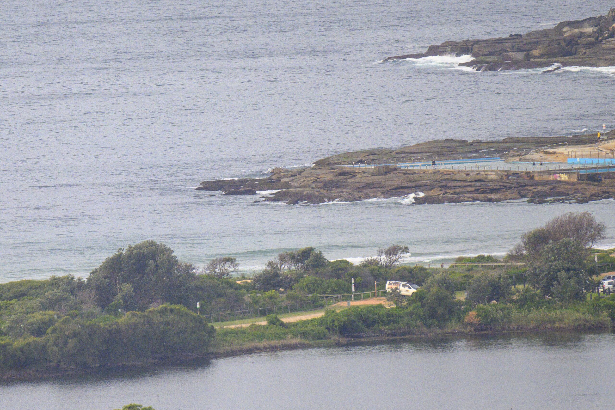
Sydney woke to a couple metres of straight south swell at close to 11 seconds apart. It doesn’t look like lasting too long though because waverider buoys to the south of us are showing very small to nearly flat conditions. The Bureau’s forecast is calling for the swell to drop steadily toward lunch time and then be back to marginal.
In a rush this am, so back later with a few thoughts…


Weather Situation
A deep low, well to the south of Tasmania is moving slowly to the southeast. A ridge of high pressure extends across the far north of New South Wales from a high centred over South Australia. The high should move to the Tasman Sea on Friday. The next major cold front to affect coastal waters is expected later Saturday.
Forecast for Thursday until midnight
Strong Wind Warning for Thursday for Sydney Coast
Winds
Westerly 20 to 25 knots, reaching up to 30 knots offshore in the morning.
Seas
1.5 to 2 metres, increasing to 2 to 3 metres during the morning, then decreasing below 2 metres by early evening.
Swell
Southerly 1 to 1.5 metres, decreasing to around 1 metre around midday.
Friday 27 June
Winds
Westerly 15 to 20 knots turning northerly in the middle of the day. Winds reaching up to 25 knots offshore in the evening.
Seas
1.5 to 2 metres, decreasing below 1.5 metres during the morning, then increasing to 1.5 to 2 metres during the afternoon.
Swell
Southerly around 1 metre, increasing to 1 to 1.5 metres around midday, then decreasing to around 1 metre during the afternoon.
Saturday 28 June
Winds
Northerly 20 to 30 knots turning west to northwesterly 25 to 30 knots during the late afternoon or evening.
Seas
1.5 to 2 metres, increasing to 2 to 3 metres during the morning.
Swell
Northeast to southeasterly around 1 metre.


