Hello Friends,
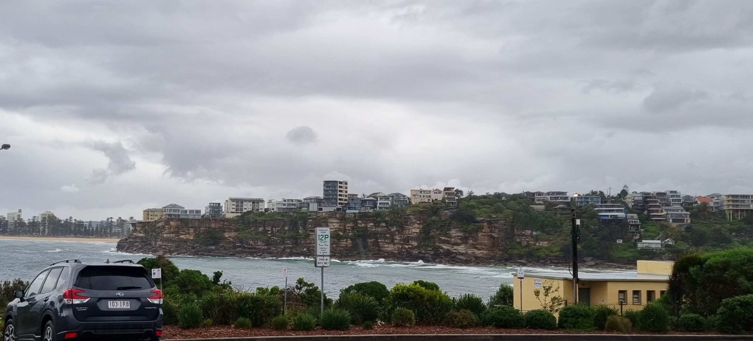
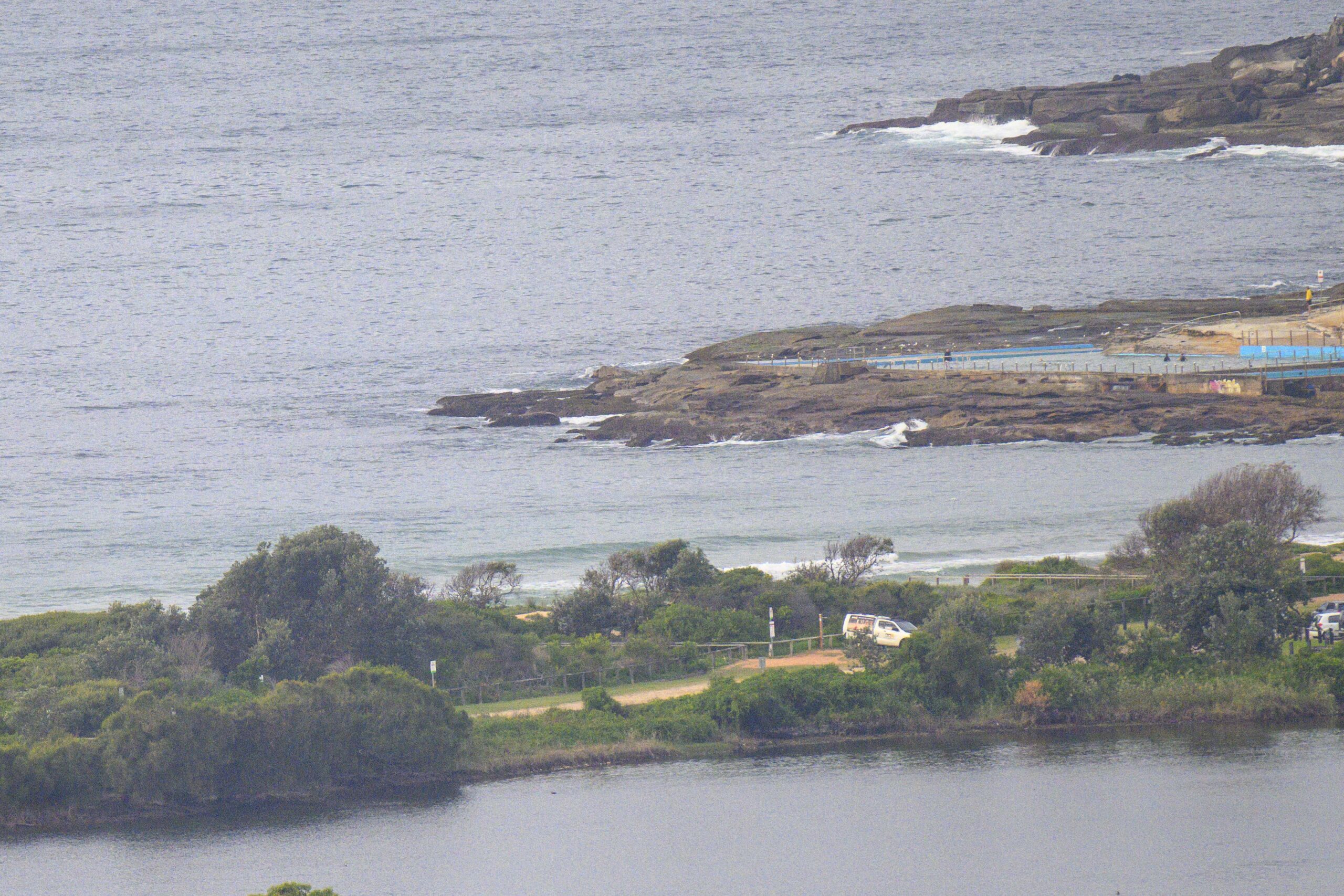
Here are a couple of snaps from just before 5pm. It seems to have come up a touch but not tremendously. Certainly the point is not much bigger and the beachie is roughly the same as well. The MHL buoy shows a slight decrease in average period and a slight increase in size while direction has remained the same. From what the Bureau says, it’s likely to be the same size or even a little smaller tomorrow morning… we shall see!


From around 0800…
Not much change over yesterday morning, but it does seem to be a touch bigger and a touch more consistent. Swell’s out of the SSE at 1.2 metres with an average period just above the 11 second mark. At Dee Why that means waist plus sets along the beach and knee to waist at the point as of 0745.
Next tide is a low at 0910.
The swell models have shifted around a little since yesterday, but the BoM says we should see an upward bump into the 1.5-2 metre range during the morning. Some of the models reckon it’ll last through tomorrow, slacken off on Wednesday and then kick in with some vigour on Thursday and Friday as the swell shifts more to the ESE. However, there is a fair amount of variation amongst the interpretations, including some that predict nothing much of interest on Thursday. All good fun.
Have yourself a top old Monday everybody!


Weather Situation
A broad low pressure system lies over the Tasman Sea, and is combining with a high pressure system over central Australia to direct a west to southwesterly airstream across New South Wales coastal waters. The high will move to the north of New South Wales and into the Tasman during Monday and Tuesday while gradually weakening, with winds along the coast tending north to northwesterly. A strong cold front will reach the New South Wales coast on Wednesday night or Thursday, bringing strengthening winds ahead of a gusty westerly change.
Forecast for Monday until midnight
- Winds
- Westerly 15 to 20 knots.
- Seas
- 1.5 to 2 metres.
- Swell
- Southerly 1 to 1.5 metres, increasing to 1.5 to 2 metres during the morning.
- Weather
- The chance of thunderstorms offshore during the morning.
Tuesday 8 July
- Winds
- Westerly 10 to 15 knots, reaching up to 20 knots offshore early in the morning. Winds turning northwesterly in the early afternoon.
- Seas
- 1 to 1.5 metres.
- Swell
- South to southeasterly 1.5 metres.
Wednesday 9 July
- Winds
- North to northwesterly 15 to 25 knots.
- Seas
- 1 to 1.5 metres, increasing to 1.5 to 2.5 metres during the morning.
- Swell
- Southeasterly around 1 metre, increasing to 1 to 1.5 metres offshore during the evening.


