Hello Friends,
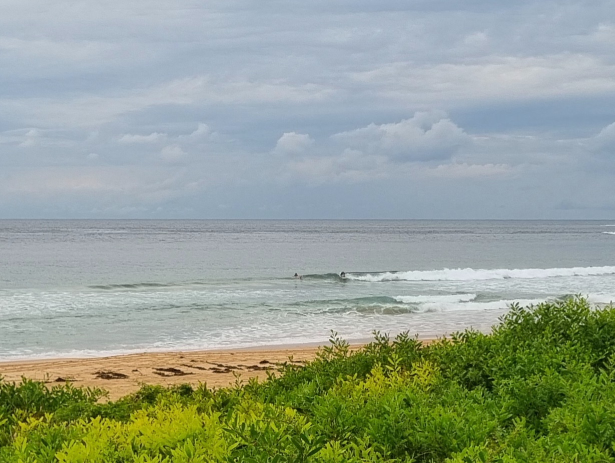
A brisk 9 degrees outside RealSurf HQ as the day got started. Throw in 10 kts of westerly and you have a recipe for brrrr. On the other hand, the skies are blue and there’s 1.4 metres of SE swell at close to 11 seconds apart. Plus tide’s dropping to a low at 1010.
Dee Why isn’t amazingly consistent, but the beachy was producing chest plus sets as of 0730 and the point was periodically showing waist to chest high sets. Neither location was crowded, even though it’s school hols for many. Shows how off-putting that cold air is I guess.
From the shape of the models, it would seem we can look forward to these conditions being sustained all day – so no need, apart from the tide, to be in a rush.
Outlook is for the swell to fade back tomorrow, but then to bump back up to a similar level again for Thursday. I say “similar” because some interpretations of the data are showing not much of anything Thursday, while others are predicting solid overhead wave faces at many spots. So, I guess the prediction is nothing much to really good. 🙂
Yours truly won’t be getting in the way for another couple of weeks, so get one for me if you jump in the water today!


w
Weather Situation
A low pressure system is moving east/northeast over the central Tasman Sea, and is combining with a high pressure system over central Australia to direct a west to southwesterly airstream across New South Wales coastal waters. The high will move across northern NSW and into the northern Tasman Sea on Tuesday and gradually weaken, with winds along the coast tending north to northwesterly. A strong cold front will reach the New South Wales coast on Wednesday night/early Thursday morning, bringing strengthening northwest winds ahead of a gusty, strong to gale force westerly change on Wednesday to most waters.
Forecast for Tuesday until midnight
- Winds
- Westerly 10 to 15 knots turning north to northwesterly in the late morning. Winds reaching up to 20 knots offshore in the late evening.
- Seas
- Around 1 metre.
- Swell
- Southerly 1.5 metres, tending southeasterly 1.5 metres around dawn.
Wednesday 9 July
Strong Wind Warning for Wednesday for Sydney Coast
- Winds
- North to northwesterly 20 to 25 knots, reaching up to 30 knots during the afternoon and evening. Winds turning westerly in the late evening.
- Seas
- 1.5 to 2 metres, increasing to 2 to 3 metres during the morning.
- Swell
- Southeasterly around 1 metre, increasing to 1.5 metres later in the evening.
Thursday 10 July
- Winds
- Westerly 20 to 30 knots.
- Seas
- 1 to 1.5 metres, increasing to 2 to 3 metres offshore.
- Swell
- East to southeasterly 1.5 metres, decreasing to around 1 metre during the evening.

