Hello Friends,
The models were unduly pessimistic it turns out. At least where the early was concerned, there were definitely both waves and ok wind conditions. Oh and bitterly cold too.
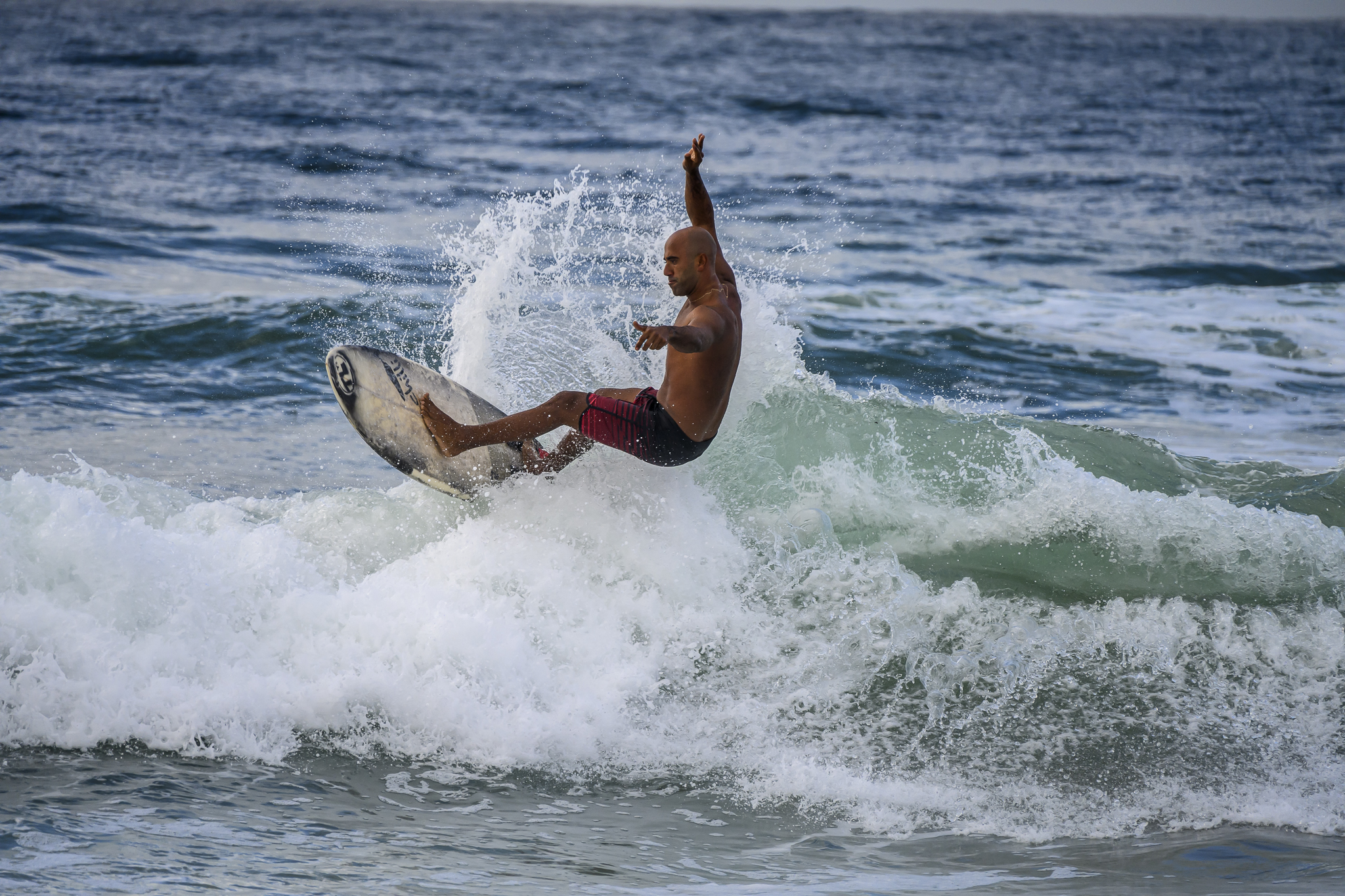
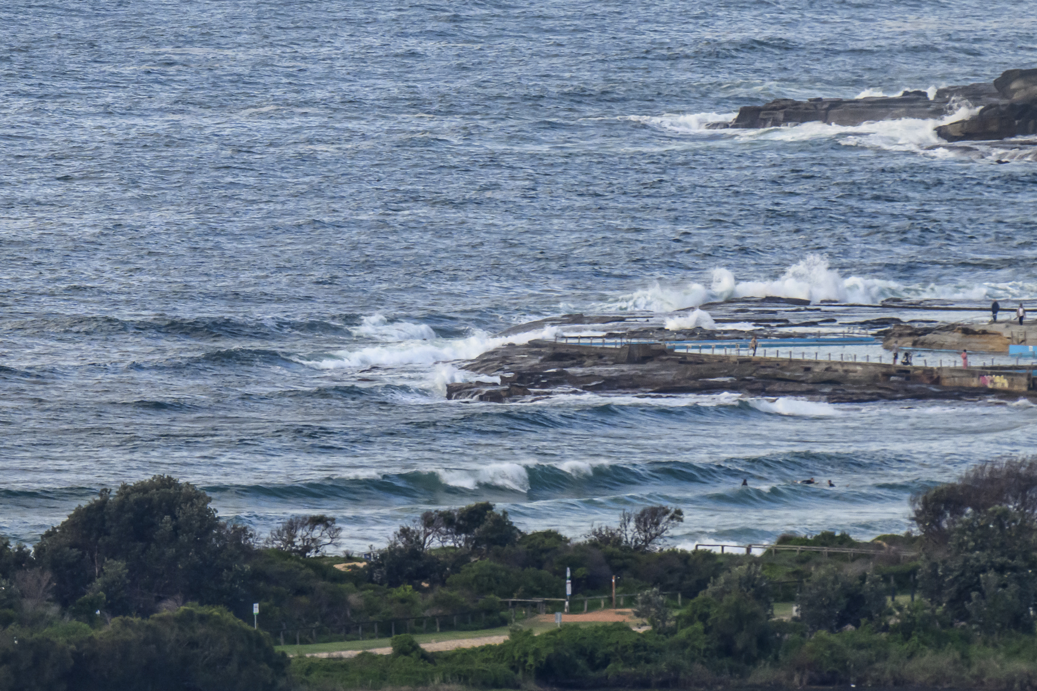
Swell was coming most intensely from the SSE at 0700. The MHL buoy was showing 2.6 metres at sea with an average period of 9.8 seconds. This was turning into generally chest high conditions along the beach, maybe closer to waist at the point, but regular sets into the shoulder plus range were turning up at both spots.
Wind was westerly at 0845, but the Bureau says it’ll be more SW to southerly and getting up to 30 kts later this morning. That’ll restrict surf options of course.
High tide was at 0845 and will be back to low at 1425.
Both the Bureau and the swell models reckon the energy levels will stick around at about this intensity through Monday, before dropping a little for Tuesday before fading out to micro across the remainder of the work week. That said, the models are currently suggesting that we could have a pretty intense south swell event from around Friday through Sunday… I wonder if the doc will let me back in the water for that…
Have yourself a great Sunday everybody!


Weather Situation
A cold front and associated strong south to southwesterly change crossed southern and central parts of the coast yesterday, it is expected to reach the far north coast this morning. A low is likely to develop on the front over the central Tasman Sea today and in conjunction with a strong high south of the Bight, is expected to produced further fresh to strong winds along the NSW coast. The high is expected to move east Monday and Tuesday, to be situated over southeast NSW Monday night, then over the southern Tasman on Tuesday night with winds moderating and tending more east to northeasterly during this period.
Forecast for Sunday until midnight
Strong Wind Warning for Sunday for Sydney Coast
- Winds
- Southwest to southerly 20 to 25 knots, reaching up to 30 knots in the morning.
- Seas
- 2.5 to 3 metres, decreasing to 2 metres during the morning.
- Swell
- Southeasterly 1 to 1.5 metres.
Monday 14 July
- Winds
- Southerly 15 to 20 knots becoming southeasterly about 10 knots in the evening.
- Seas
- 1.5 to 2 metres, decreasing to 1 metre during the morning.
- Swell
- South to southeasterly 1 to 1.5 metres.
Tuesday 15 July
- Winds
- East to northeasterly about 10 knots becoming north to northeasterly 15 to 20 knots during the afternoon.
- Seas
- 1 to 1.5 metres.
- Swell
- Southerly 1 to 1.5 metres.