Hello Friends,
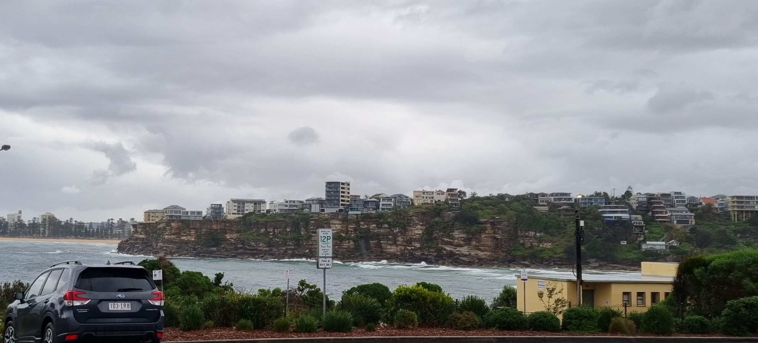
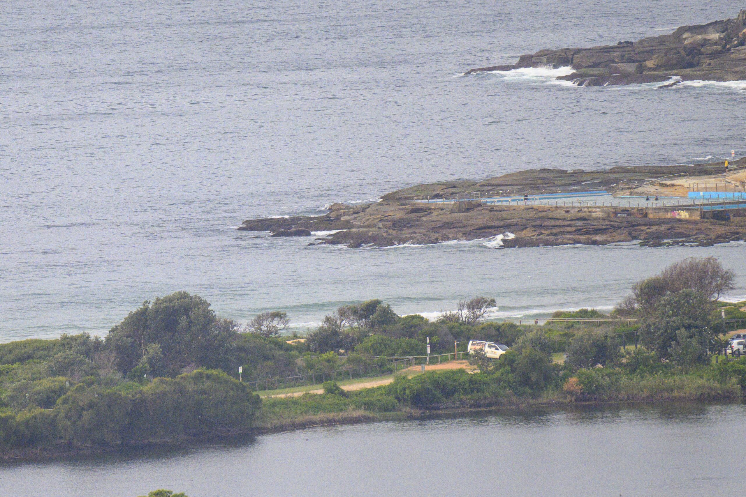
Swell has tailed away overnight. As of 0700 the MHL buoy off Sydney was showing a metre of 14 sec period SSE swell. Surface conditions were smooth thanks to a steady 10 kts of WNW wind. There were a few people hanging around at the point and various others scattered along the beach. But the biggest set I saw would maybe have been waist high. So, if you’re keen, the plan is to head to a south magnet spot – equpped with lots of patience.
Tide was high at 0730 and will be back to low at 1320.
Tomorrow the swell should start coming back up again. If the Bureau’s right, it’ll be southeast and will drop a little around midday before coming back up later. Wind is supposed to be SW but to go southerly in the evening and then stay that way for Tuesday.
The swell models are still calling for south swell all week, but it’s going to be accompanied by a steady supply of south wind in the 10-20 kt range. So, surf options will be limited pretty obviously.
Ah well, it’ll be what it’ll be, so keep on smilin’ and have yourself a great Sunday.
ps: was out and about with the camera yesterday, so fresh galleries up later today…


Weather Situation
A high over the Tasman Sea extends a weakening ridge over New South Wales. A cold front/low pressure trough will move through the state on Sunday with another strong, slow-moving high pressure system south of the Bight extending a ridge behind it. During Thursday a low pressure trough is expected to develop over the northwest of the state as the high moves near Tasmania..
Forecast for Sunday until midnight
Strong Wind Warning for Sunday for Sydney Coast
- Winds
- Westerly 15 to 25 knots, reaching up to 30 knots offshore in the late evening. Winds turning southerly 20 to 25 knots in the late evening.
- Seas
- 1 to 1.5 metres, increasing to 1.5 to 2.5 metres by early evening.
- Swell
- Southerly around 1 metre.
Monday 11 August
Strong Wind Warning for Monday for Sydney Coast
- Winds
- Southwesterly 20 to 25 knots tending south to southwesterly 20 to 30 knots early in the morning then becoming southerly 20 to 25 knots in the evening.
- Seas
- 2 to 2.5 metres.
- Swell
- Southeasterly 1 to 2 metres, tending southerly 1 to 1.5 metres around midday, then tending south to southeasterly 1.5 to 2.5 metres by early evening.
Tuesday 12 August
- Winds
- Southerly 15 to 20 knots.
- Seas
- 1 to 2 metres.
- Swell
- South to southeasterly 1.5 to 2.5 metres.


