Hello Friends,
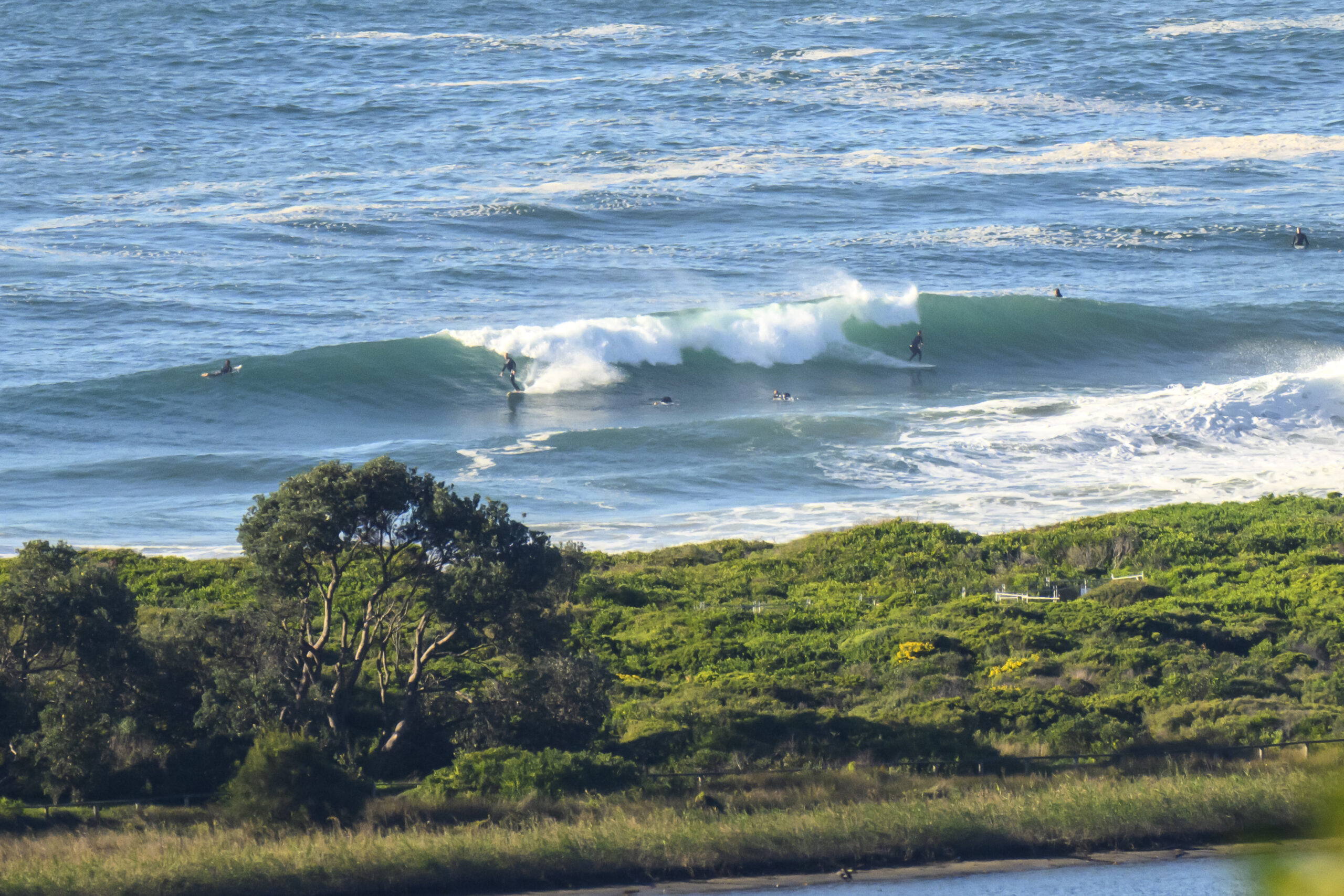
Sunny breaks, light westerly breeze and around 2 metres of 9 second period ESE swell and tide dropping to a low at 1100 are all adding up to “definitely worth a look” at many beaches this morning.
As the pictures show, there are head plus wave faces on the bigger ones at Dee Why, and it was pretty consistent too.
The Bureau says there’s a 90% chance of more rain today and that the wind will turn southerly later.
Bottom line? Go asap.
Outlook is for the wind to be somewhat less of a factor in the mornings for the next couple of days and for the swell to drop a bit but to stick around.
Go well one and all!


Weather Situation
A high pressure system is centred to the west of Bass Strait, with a trough offshore from the northern coast of New South Wales. The high will be the dominant feature in the region during the next few days as it drifts slowly east and extends a ridge northwards along the New South Wales coast.
Forecast for Thursday until midnight
- Winds
- South to southeasterly 10 to 15 knots.
- Seas
- Around 1 metre.
- Swell
- Southeasterly 1.5 metres, increasing to 1.5 to 2 metres offshore.
Friday 22 August
- Winds
- East to southeasterly about 10 knots increasing to 10 to 15 knots in the evening.
- Seas
- Below 1 metre.
- Swell
- Southeasterly 1.5 metres.
Saturday 23 August
- Winds
- East to northeasterly about 10 knots.
- Seas
- Below 1 metre.
- Swell
- Southeasterly 1 to 1.5 metres.

