Hello Friends,
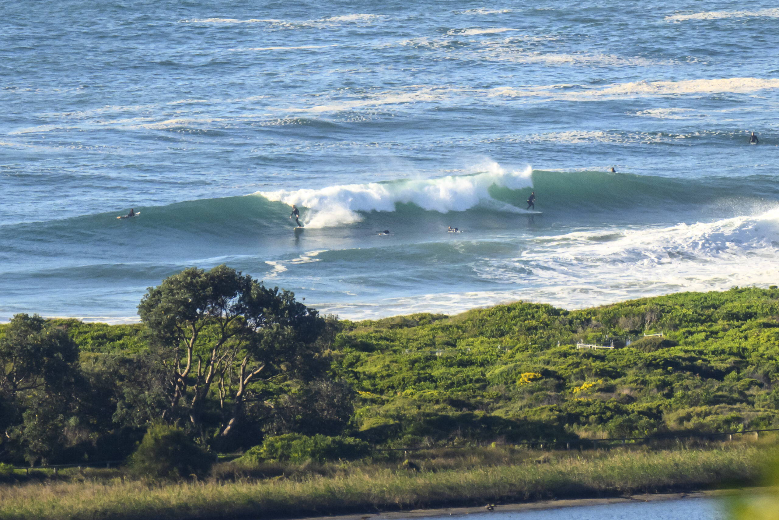
If you were able to hit it for the early, you’re probably smiling. The swell dropped overnight, but this morning was still seeing shoulder plusses at the point and along the beach at Dee Why. According to the modelling, it should stick at around this size all day.
Swell was coming from the ESE at 1.7 metres with an average period of 11 seconds according to the MHL data from 0600. Wind was light from the NW. Tide was low at 0600 and will be high at 1230 when the Bureau says the wind will have turned to the NE – and they expect the swell to swing more east.
Looks like the widest of range of options will be this morning, but there could be a few worthy choices if you have to leave it until later.
The forecasts this morning are warning that tomorrow will see another solid pulse develop. Unfortunately the wind call is for ramping SW winds which could be into the 354 kt range at exposed spots by the afternoon. The SW’r will blow pretty hard again on Wednesday morning as a swell pushes in from the south east at 2-4 metres.
Looks from here as though it could be big from late Tuesday through to Friday.
So I might be able to get a few more piccies for you like the ones I shot at Dee Why beach & point and South Narrabeen yesterday morning. If you were in the water at either place, you should have a look through ’em because as always I was trying to get pretty much anyone who took off on something.
Weather Situation
A complex low pressure system lies over the central Tasman Sea, while a high over New Zealand extends a ridge into southeast Australia. The low over the Tasman Sea is expected to gradually shift towards New Zealand today. A cold front from the Southern Ocean is expected to reach the Eden Coast Monday night with a gusty southwest change forecast to move up the coast during the Tuesday. Increasing south to southwesterly winds and dangerous surf conditions are expected along the coast as another low develops over the Tasman Sea and deepens Tuesday night and Wednesday.
Forecast for Monday until midnight
- Winds
- North to northwesterly 10 to 15 knots tending north to northeasterly in the middle of the day. Winds reaching up to 20 knots offshore in the evening.
- Seas
- Around 1 metre, increasing to 1 to 1.5 metres offshore by early evening.
- Swell
- Southeasterly 1.5 metres, tending easterly 1 to 1.5 metres around midday.
Tuesday 2 September
Gale Warning for Tuesday for Sydney Coast
- Winds
- North to northwesterly 15 to 20 knots shifting southwesterly 15 to 25 knots early in the morning then increasing to 25 to 30 knots in the middle of the day. Winds reaching up to 35 knots during the afternoon and evening.
- Seas
- 1 to 1.5 metres, increasing to 1.5 to 2 metres during the morning, then increasing to 2.5 to 4 metres around midday.
- Swell
- Easterly 1.5 metres.
- Caution
- Large and powerful surf conditions in the evening are expected to be hazardous for coastal activities such as crossing bars by boat and rock fishing.
Wednesday 3 September
- Winds
- Southwesterly 30 to 35 knots.
- Seas
- 3 to 4 metres.
- Swell
- Southeasterly 2 to 4 metres, tending southerly 2.5 to 3 metres during the afternoon or evening.
- Weather
- The chance of thunderstorms offshore.


