Hello Friends,
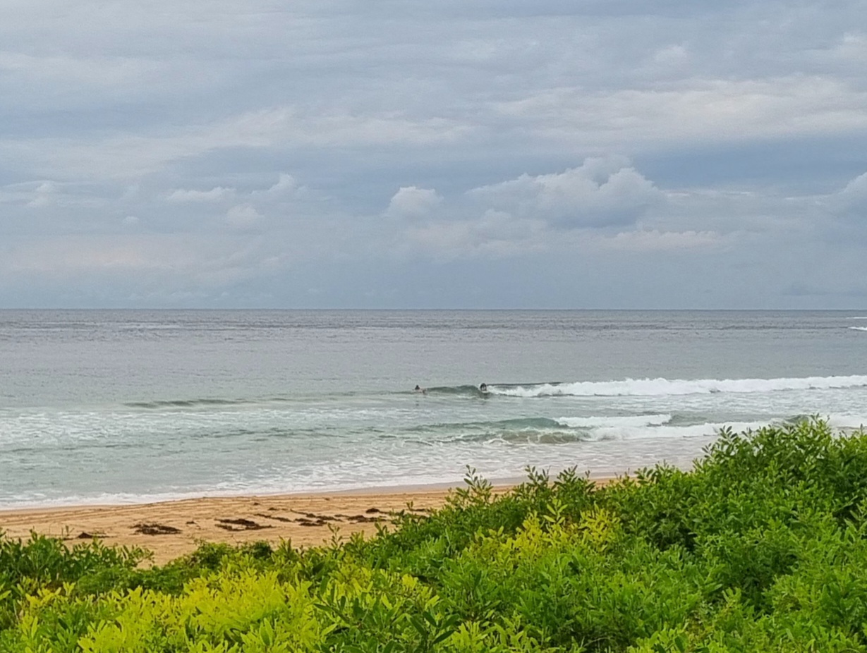
About 1.5 metres of 10 second east swell as the day got started at Dee Why. Set wave faces were in the shoulder high range, maybe even a touch bigger. It seemed to be kind of inconsistent, but not too bad. Surface conditions were glassy as we came off a low tide at 0605.
The Bureau tells us this will all change soon. The early light offshores are expected to go SW and be 15-25 kts by late morning, before building steadily toward 25-35 kts as the afternoon goes along. Swell is supposed to swing south and to move into the 2-3 metre range – which has the Bureau advising of large and powerful surf conditions from today through to tomorrow.
Speaking of tomorrow, the forecast is for S-SW wind at 30-40 kts (yikes) and south swell of 3-5 metres (double yikes!). Thursday should see the SW wind decreasing only slightly while the swell continues to hammer along in the 3-4 metre range. Wind looks like staying out of the south to SSW through the weekend.
Spring comes roaring in.
Go well and take care if you’re getting in!


Weather Situation
A cold front from the Southern Ocean lies over southwest New South Wales and is expected to reach the Eden Coast Monday night with a gusty southwest change forecast to move up the coast during the Tuesday. Increasing gusty south to southwesterly winds and dangerous surf conditions are expected along the coast as a low pressure system develops over the Tasman Sea and deepens Tuesday night and Wednesday.
Forecast for Tuesday until midnight
Gale Warning for Tuesday for Sydney Coast
- Winds
- Northwest to southwesterly 10 to 15 knots becoming southwesterly 15 to 25 knots in the morning then increasing to 25 to 35 knots during the afternoon. Winds reaching 40 knots during the evening and possibly 45 knots offshore.
- Seas
- 1 to 1.5 metres, increasing to 1.5 to 2 metres during the morning, then increasing to 2.5 to 4 metres after midday.
- Swell
- Easterly 1.5 metres, tending southerly 2 to 3 metres during the afternoon.
- Weather
- The chance of thunderstorms offshore from early this afternoon, extending throughout during this evening.
- Caution
- Large and powerful surf conditions in the afternoon and evening are expected to be hazardous for coastal activities such as crossing bars by boat and rock fishing.
Wednesday 3 September
Gale Warning for Wednesday for Sydney Coast
- Winds
- South to southwesterly 30 to 40 knots, 45 knots offshore in the morning, decreasing to 25 to 30 knots in the late evening.
- Seas
- 3 to 4 metres.
- Swell
- Southerly 3 to 5 metres.
- Weather
- The chance of thunderstorms.
- Caution
- Large and powerful surf conditions are expected to be hazardous for coastal activities such as crossing bars by boat and rock fishing.
Thursday 4 September
- Winds
- Southwesterly 25 to 30 knots turning southerly 20 to 30 knots during the morning.
- Seas
- 2 to 3 metres.
- Swell
- Southerly 4 metres, tending southeasterly 3 to 4 metres during the evening.

