Hello Friends,
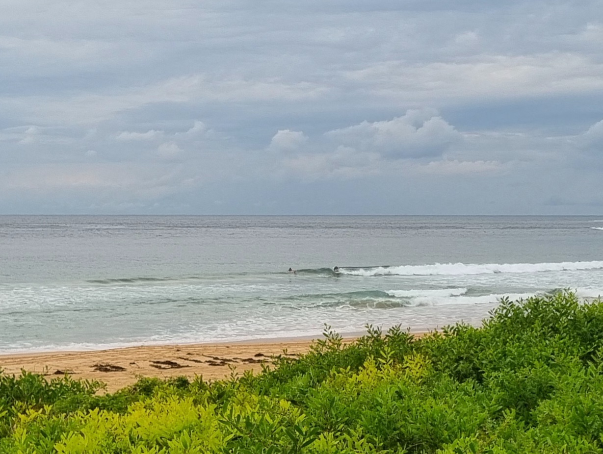
10-15kts of SSE wind, south swell of 2 metres at 8 seconds and an incoming tide to a high at 1025 adds up to nothing of interest at Dee Why this morning. Throw in the occasional drizzle period and mainly cloudy skies and it’s looking like a day to be at work or school. If the forecast models have it right, we’re looking at not much chance of improvement until the middle of next week. Sorry to be the bearer of unglad tidings. Look at it this way, you’ll be able to front all manner of daylight activities to the surprise and amazement of your nearest and dearest.
Have a top old day!

Weather Situation
A high in the Bight extends a ridge of high pressure into western New South Wales, while a cold front is moving north along the central NSW coast. The high will shift eastwards in the wake of the front, and by Saturday should be centred over the Tasman Sea, maintaining a ridge along the coast and bringing a return to northerly winds. Another front, albeit a fairly weak one, is forecast to reach southern and central parts of the coast during Sunday.
Forecast for Friday until midnight
- Winds
- Southerly 10 to 15 knots decreasing to about 10 knots in the middle of the day.
- Seas
- 1 to 1.5 metres, decreasing below 1 metre during the morning.
- Swell
- Southerly 1.5 metres, decreasing to around 1 metre during the afternoon.
Saturday 13 September
- Winds
- Variable about 10 knots becoming northeasterly 10 to 15 knots in the late evening.
- Seas
- Below 1 metre.
- Swell
- Southerly below 1 metre.
Sunday 14 September
- Winds
- Northerly 10 to 15 knots becoming variable about 10 knots during the morning then becoming southeasterly 10 to 15 knots during the afternoon.
- Seas
- Around 1 metre.
- Swell
- South to southeasterly below 1 metre.

