Hello Friends,
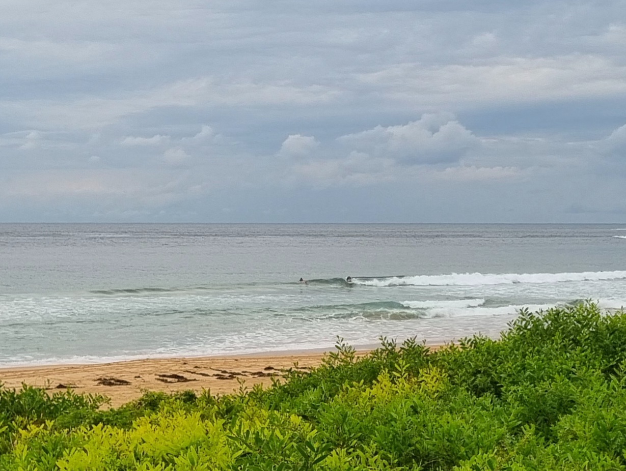
Had to be out and about earlier this morning and had a look at Curly and Dee Why. Swell looked clean, but small and relatively weak, plus the wind was really starting to pick up. Anyway, grabbed a few snaps at Curly so’s you could get an idea…


Breezy offshore morning under bright skies with a little 12-second SSE pulse. It was about 1.3 metres at sea as of 0600 and certainly when I grabbed the pictures an hour later, that’s about what it looked like. Weirdly there were only a couple of SUP riders up the beach catching the odd chest high set. The point looked to be around that size on the same set, but there wasn’t anyone in the water to do something with it. The Bureau says this little pulse should fade by lunch time. Tide was low at 0720, so at least there’ll be an incoming push for the next few hours.
The modelling tells us that we should be heading into a run of swell that could last right through the weekend. Nothing huge, but it should definitely be surfable particularly in the mornings when the wind and tide combo is best. The long range forecasts for next week are not fabulous. In fact, they’re pretty ordinary. So, I’d be shifting the schedule around across the next four days…
Have a top old day!


Weather Situation
A relatively weak low pressure system over the southern Tasman Sea extends a trough northwards off the NSW coast. The low is expected to move slowly to the southeast and intensify during Wednesday while a cold front moves northeast from the Southern Ocean clipping far southeast NSW later in the day. Fresh to strong southwest winds are expected for southern and central waters on this day. Another cold front or trough is likely to pass near southeast NSW on Thursday and Friday, and combined with a slow moving high south of Adelaide, is likely to bring fresh to strong southwest to southerly winds to the southern half of the coast. A southerly swell is also expected to increase late in the week.
Forecast for Wednesday until midnight
Strong Wind Warning for Wednesday for Sydney Coast
Winds
Southwesterly 15 to 20 knots becoming variable about 10 knots in the middle of the day then becoming westerly 15 to 20 knots in the evening. Winds reaching up to 30 knots offshore in the late evening.
Seas
1.5 to 2 metres, decreasing below 1.5 metres around midday, then increasing to 1.5 to 2.5 metres by early evening.
Swell
Southerly 1 to 1.5 metres, decreasing to around 1 metre around midday.
Thursday 18 September
Strong Wind Warning for Thursday for Sydney Coast
Winds
West to southwesterly 20 to 25 knots, reaching up to 30 knots offshore early in the morning. Winds turning southerly 10 to 15 knots in the early afternoon.
Seas
1.5 to 2.5 metres, decreasing to 1 to 1.5 metres around midday, then decreasing to 1 metre by early evening.
Swell
Southerly 1 to 1.5 metres, increasing to 1.5 to 2.5 metres during the morning.
Friday 19 September
Winds
Southwesterly 15 to 20 knots becoming variable about 10 knots during the afternoon.
Seas
Around 1 metre, decreasing below 1 metre during the afternoon or evening.
Swell
Southerly 1.5 to 2.5 metres.

