Hello Friends,
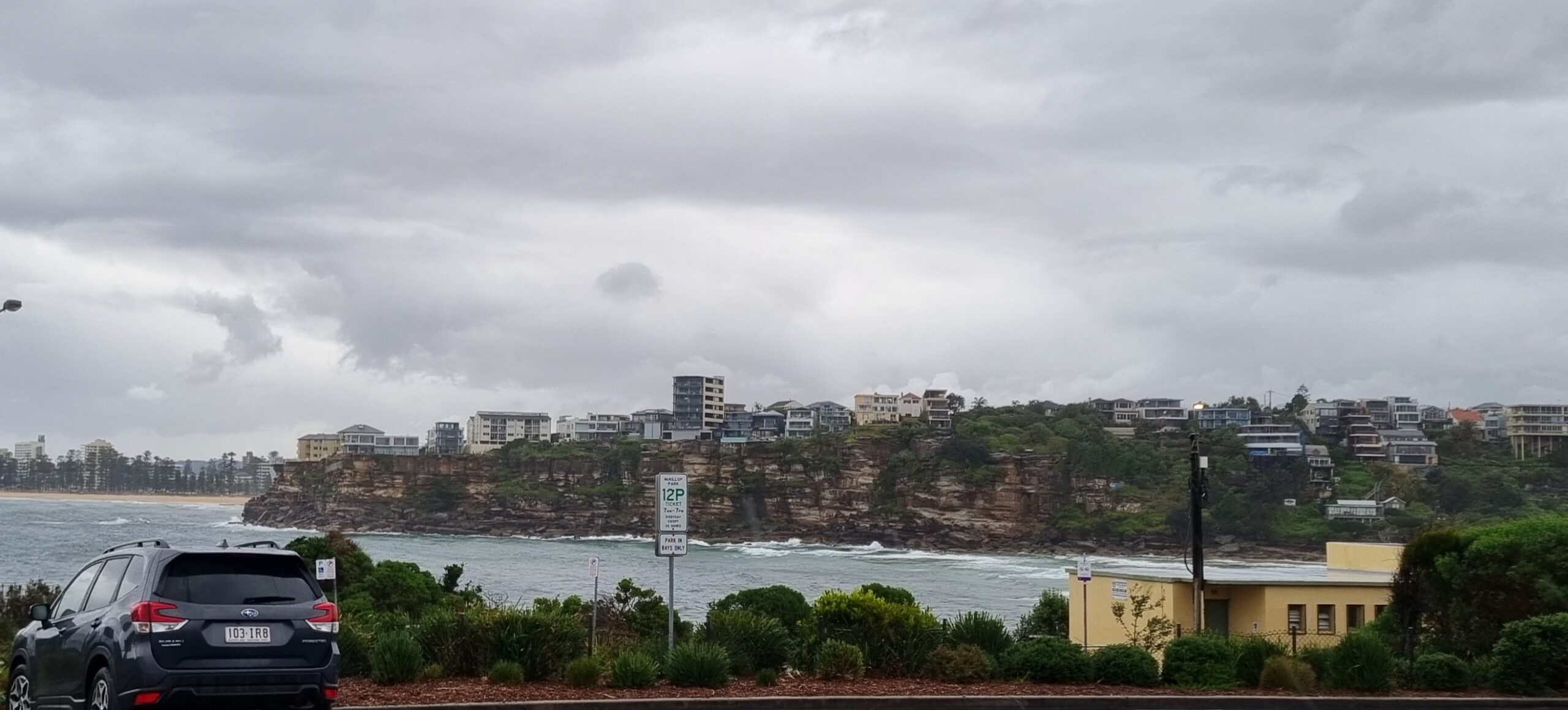
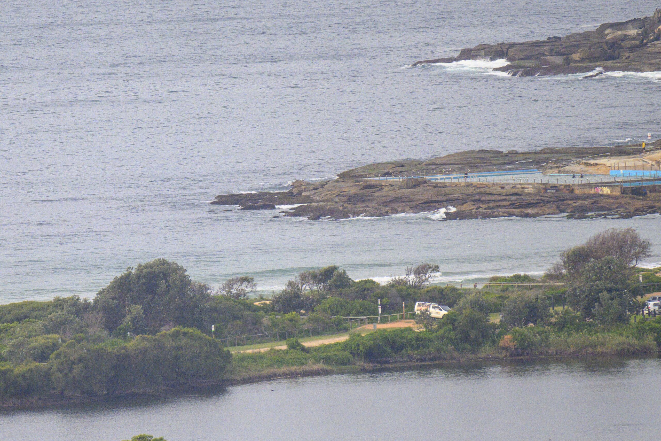
No sign of waves at Dee Why this morning. Winds were light and the MHL buoy was showing only a metre of short period east wind swell. There’s nothing of interest showing in the swell forecast for today, and the forecasts point to only a slight increase for the early tomorrow. However, by late morning the Bureau expects a south change to rattle through and we should see the energy levels go up – albeit with unfavourable wind.
According to the Bureau, Thursday could be a little better again, particularly in the morning when the wind should ease off a little before going NE in the afternoon. The Bureau is predicting southerly swell of up to 2.5 meters as the morning goes along.
On Friday the south swell should persist and overnight the models are still saying it’ll ramp up into the serious range for Saturday morning as 2-3 metres of 12-15 second south swell with sunny skies and light north winds early, going NE later.
With luck the energy will carry on into Sunday as well.
Something to look forward to, so keep on smilin’ and have a great day!

Weather Situation
A high pressure system over the Tasman Sea is extending a ridge into northeast New South Wales, and directing north to northwesterly winds along the coast. A new cold front will bring a substantial southwesterly change, reaching the far south late Tuesday and extending through the remainder of the coast on Wednesday. Another high pressure system will gradually drift over New South Wales following this front, with winds tending more easterly by the end of the week.
Forecast for Tuesday until midnight
- Winds
- North to northwesterly 10 to 15 knots tending north to northeasterly 15 to 20 knots in the morning then tending north to northwesterly in the afternoon. Winds reaching up to 25 knots in the evening.
- Seas
- Around 1 metre, increasing to 1 to 2 metres during the afternoon, then decreasing to 1 metre later in the evening.
- Swell
- East to northeasterly around 1 metre.
Wednesday 1 October
Strong Wind Warning for Wednesday for Sydney Coast
- Winds
- North to northwesterly 10 to 15 knots, reaching up to 30 knots offshore during the day. Winds shifting southerly 20 to 25 knots in the morning.
- Seas
- Below 1 metre, increasing to 2 to 3 metres during the morning.
- Swell
- Northeasterly 1 to 1.5 metres, tending south to southeasterly 1.5 to 2 metres later in the evening.
Thursday 2 October
- Winds
- South to southwesterly 15 to 25 knots becoming variable about 10 knots during the morning then becoming east to northeasterly 15 to 20 knots during the afternoon.
- Seas
- 1 to 2 metres, decreasing to 1 to 1.5 metres during the morning.
- Swell
- Southeasterly 1 to 2 metres, tending southerly 1.5 to 2.5 metres during the morning.
Please be awareWind gusts can be 40 percent stronger than the averages given here, and maximum waves may be up to twice the height.
Nearby Coastal Waters
- This forecast is also available via scheduled broadcasts on marine radio.
- Latest Coastal Observations
- Tide Predictions


