Hello Friends,
At 0700 the MHL buoy was showing 1.7 metres of SSE swell at 13 seconds. Water temp was sitting on 19 offshore and wind was NW at 4-6kkts. Tide was high at 0615 and will be all the way out at 1210.
Bureau says the wind should be northerly through the day before swinging S-SE late. Swell is expected to fade a little across the day, but with luck it won’t disappear.
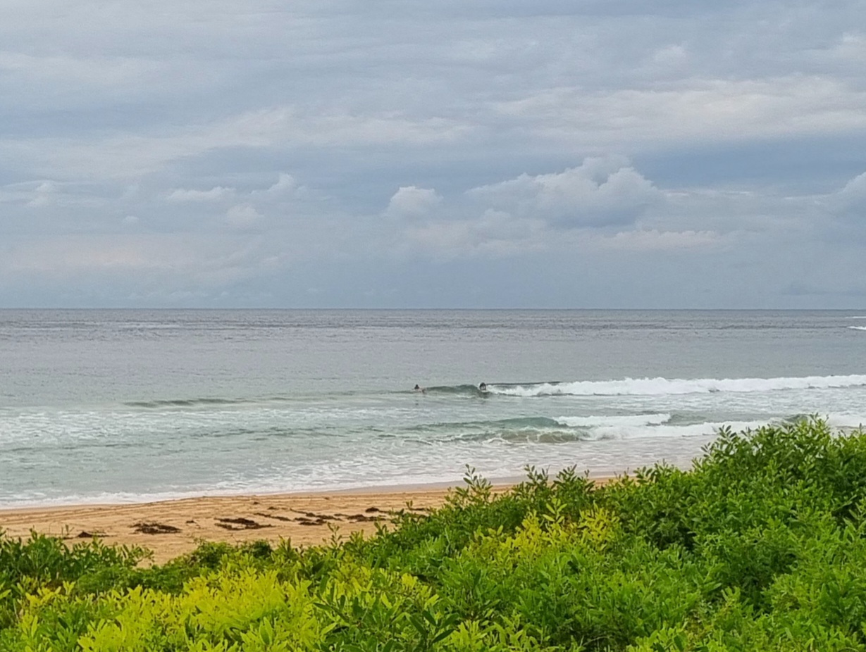
As of 0900 Dee Why looked reasonably busy. People at the point were latching onto chest plus sets, while up the beach it looked to be a bit bigger. Surface conditions while not super smooth, were much better than yesterday.
While there should still be swell tomorrow morning, it looks as though the SE’r could be working it over. The wind should swing NE in the afternoon Monday which is unlikely to help much – although the Bureau says the swell should perk slightly, so maybe a north corner or two will come into play.
Longer range outlook is rather springish – ie, marginal for the most part. Right now it looks like maybe we’ll get a bit of activity for the morning sesh on Weds. Things look kinda quiet until late next weekend when, if the models have it right, an extensive and powerful souther ocean low could possibly send us something early in the following week. Maybe. Possibly…
Have yourself a top Sunday!


Weather Situation
A high pressure system over the Tasman Sea will move east, maintaining a northerly airstream over the coastal waters during the remainder of today and early on Sunday. A weak cold front is expected to bring a southerly change to the southern half of the coast on Sunday followed by northerlies returning and strengthening by the end of the day on Monday. A stronger cold front is expected to cross eastern New South Wales on Tuesday bringing another southerly change.
Forecast for Sunday until midnight
- Winds
- Northerly 10 to 15 knots shifting south to southeasterly 15 to 20 knots in the evening. Winds reaching up to 25 knots inshore in the late evening.
- Seas
- Below 1 metre.
- Swell
- Southerly 1.5 to 2 metres, decreasing to 1.5 metres around midday.
Monday 6 October
- Winds
- Southeasterly 15 to 20 knots shifting north to northeasterly 20 to 25 knots during the afternoon and evening.
- Seas
- 1 to 1.5 metres, decreasing below 1 metre during the morning, then increasing to 1 to 2 metres during the afternoon.
- Swell
- Southerly around 1 metre, increasing to 1 to 1.5 metres offshore.
Tuesday 7 October
- Winds
- Northerly 20 to 30 knots tending northwest to southwesterly 15 to 20 knots during the morning then tending southeasterly during the day.
- Seas
- 1.5 to 2.5 metres, decreasing to 1 to 1.5 metres during the morning.
- Swell
- Southerly around 1 metre.
- Weather
- The chance of thunderstorms offshore in the morning and afternoon.

