Hello Friends,
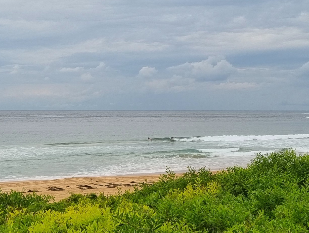
Slightly cool NW wind and sunny skies as Monday got under way. The Bureau says there’s a 90% chance of rain later and that it’ll stay rainy for the next three days at least. We’re in for 20-30 kts of southerly later too, and strong south wind will be a feature for us across the next 3 days.
The blasting winds to come will drive up the seas pretty dramatically. Not much is expected to happen on that front today, but tomorrow the Bureau says they expect the swell energy to move from the NE to the E and to get into the 2-4 metre range. And on Wednesday it’s set to step up again as it swings SE and pushes into the 3-5 metre range. The wind is predicted to go more SW later in the day Wednesday and that may open up a few opportunities.
Our best window of opportunity looks to be around Thursday morning when the wind might briefly swing more westerly while the swell’s still around at some level of intensity.
So, enjoy the sunny skies because it looks as though they’re going away for a couple of days and here’s hoping we get a chance for a decent wave later in the week.

Weather Situation
A high pressure system lies over the central Tasman Sea while a trough and cold front approaching from the west will deliver a vigorous southerly change to southern and central parts of the New South Wales coast today. A low centre developing within the trough is expected to move offshore and deepen during Tuesday, leading to a further intensification of winds about central areas. The stretch of coast between Ulladulla and Port Stephens appears most likely to see gales and very large seas, although there is still some uncertainty regarding the exact path the low will take. Conditions will gradually ease during the second half of the week as a strengthening high approaches from the west.
Forecast for Monday until midnight
Strong Wind Warning for Monday for Sydney Coast
- Winds
- Northerly 10 to 15 knots inshore at first, otherwise northerly 15 to 25 knots ahead of a gusty southerly change 20 to 30 knots in the late afternoon or evening.
- Seas
- 1.5 to 2.5 metres.
- Swell
- Northeasterly 1 to 1.5 metres.
- Weather
- Becoming cloudy. 90% chance of rain, with a thunderstorm likely.
Tuesday 14 October
Gale Warning for Tuesday for Sydney Coast
- Winds
- South to southeasterly 20 to 30 knots, increasing to 30 to 40 knots during the afternoon and evening.
- Seas
- 2 to 3 metres, increasing to 3 to 4 metres in the afternoon.
- Swell
- Northeasterly 1 to 2 metres, tending easterly 2 to 4 metres during the morning.
- Weather
- Cloudy. 95% chance of rain, heavy at times. The chance of a thunderstorm.
- Caution
- Large and powerful surf conditions in the afternoon and evening are expected to be hazardous for coastal activities such as crossing bars by boat and rock fishing.
Wednesday 15 October
- Winds
- Southerly 30 to 40 knots turning southwesterly 25 to 35 knots during the day.
- Seas
- 3 to 5 metres.
- Swell
- Southeasterly 3 to 5 metres.
- Weather
- Cloudy. 90% chance of rain, heavy at times in the morning. The chance of a thunderstorm in the morning.
- Caution
- Large and powerful surf conditions are expected to be hazardous for coastal activities such as crossing bars by boat and rock fishing.

