Hello Friends,
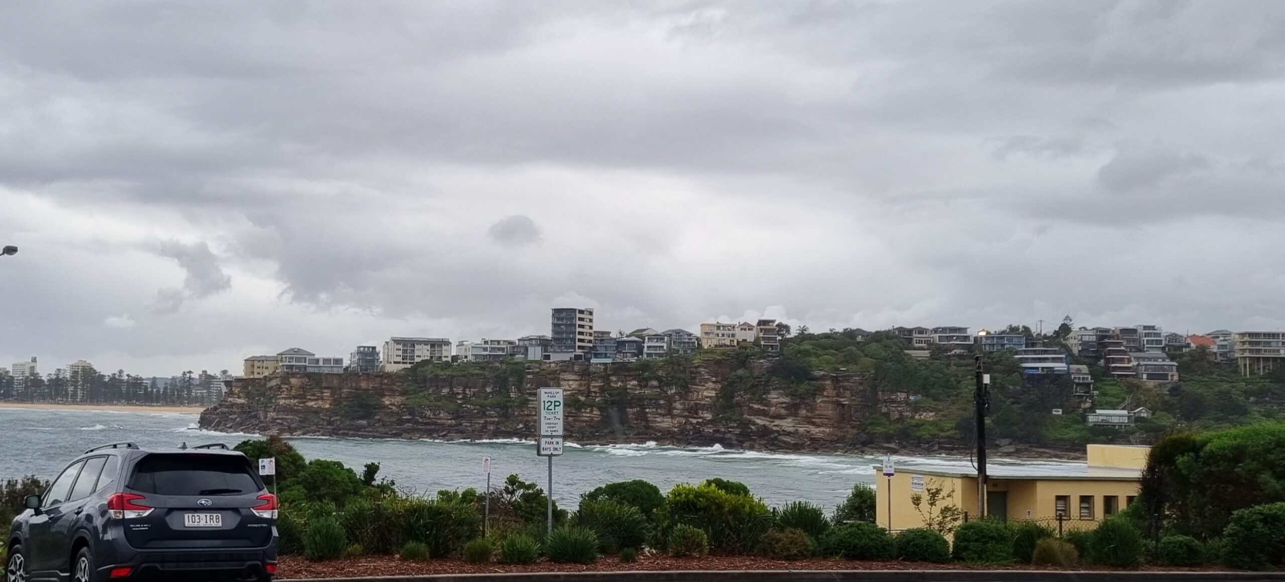
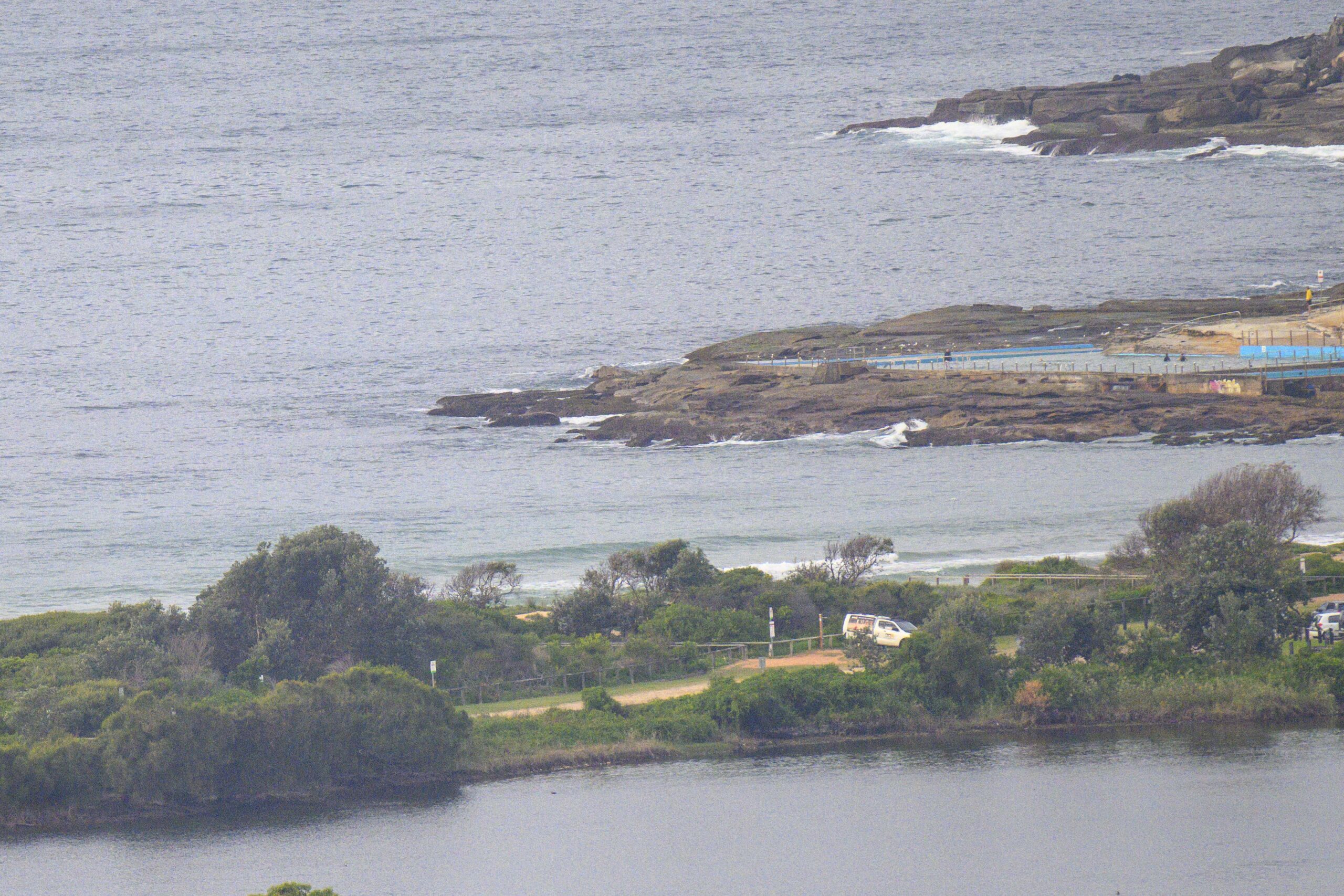
UPDATE: Had to run an errand or two this morning, so stopped by Collaroy for a look at what the swell was doing. Conditions were pretty good – apart from the rainy, cold and windy (but offshore). Swell is piling in pretty relentlessly and for the most part Collaroy was a bit underwhelming. The best shot seemed to be the Kick and a couple of people were out having a go too. Up the beach toward sth Narrabeen it looked solid but I couldn’t see anyone in the water. I think the wind’s just going to hard still.


Crazy night in Sydney eh? Yikes. Wind is still going pretty strongly, but not as hard as a few hours ago. As of 0715 it was out of the SW at 20-30 kts, but it sure felt like we were getting stronger gusts than that at RealSurf HQ. At 0500 the Sydney MHL buoy was showing 6-9 metres of 13 second SSE energy. Low tide was at 0745 and will be back to high at 1410.
Outlook is for winds to back off gradually across the next 24 hours and for the swell to drop steadily. The Bureau reckons 2-3 metres by tomorrow morning. So for today, it’ll be the usual suspects if you want to get in (and you’re fit and experienced). Not sure about the point though, maybe later in the day…
Thursday’s still looking like the best opportunity from all this energy. Tomorrow should be mostly sunny and winds are expected to be light and offshore. Lookin’ forward to that!
There should still be something for Friday morning but beyond that the models are pretty dour.
Go well with your Wednesday!


Weather Situation
A small intense low pressure system is located off the New South Wales coast near Sydney and the Hunter district and moving slowly northwards with an associated trough. Gale to storm force southerly winds and large seas are extending along the coast behind the trough. The low and trough will move slowly further offshore during Wednesday with an associated gradual easing in the winds. A high pressure system will move across southern New South Wales by Friday, bringing more stable conditions for the later part of the week.
Forecast for Wednesday until midnight
Storm Force Wind Warning for Wednesday for Sydney Coast
- Winds
- Southwesterly 30 to 45 knots, reaching up to 50 knots offshore in the morning. Winds decreasing to 20 to 30 knots in the evening.
- Seas
- 4 to 6 metres, decreasing to 2.5 to 4 metres during the afternoon.
- Swell
- South to southeasterly 2 to 3 metres, increasing to 2.5 to 4 metres inshore.
- Weather
- Cloudy. 90% chance of showers. Showers heavy at times offshore early this morning.
- Caution
- Large and powerful surf conditions are expected to be hazardous for coastal activities such as crossing bars by boat and rock fishing.
Thursday 16 October
- Winds
- Southwesterly 15 to 20 knots, reaching up to 25 knots offshore early in the morning. Winds tending westerly 10 to 15 knots early in the morning then becoming variable about 10 knots in the early afternoon.
- Seas
- 1.5 to 2.5 metres, decreasing below 1 metre during the morning.
- Swell
- Southerly 3 to 4 metres, decreasing to 2 to 3 metres during the morning.
- Weather
- Mostly sunny. 30% chance of a shower.
Friday 17 October
- Winds
- South to southeasterly 15 to 20 knots.
- Seas
- Below 1 metre, increasing to 1 to 1.5 metres during the morning.
- Swell
- Southerly 1.5 to 2 metres.
- Weather
- Partly cloudy. 60% chance of showers.


