
Hello Friends,
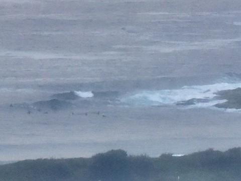
Beachwatch is warning that most of Sydney’s beaches are likely to be polluted from run-off today. That said, there were clean waist to chest high wave faces at SE-favouring spots. Dee Why point had a few in attendance, but up the beach there didn’t seem to be much going on. Quality was do-able but not brilliant where there were waves.
Bureau has a strong wind warning posted, so the light WNW early will swing around to the NE and build into the 15-25 kt range this afternoon.
Port Kembla waverider buoy was showing 1.9 metres from the SE at 10 seconds apart earlier this morning.
Outlook for tomorrow is for more NE wind early but going SE in the late evening (yeah, great) with windswell out of the NE at a metre plus.
Thursday maybe ok for the early with a SW wind/NE windswell combo on the cards.
Next tide is a low at 0830. High will be 1430.
Have yourself a top old Tuesday and keep on smilin’!
Weather Situation
A high pressure system near New Zealand is moving southeast, maintaining a ridge towards the New South Wales coast, whilst a low pressure trough weakens offshore. During today a new high will move over the Tasman Sea, reinstating northerly winds along the coast. The next significant southerly change is expected later Wednesday or Thursday as a trough and a low cross the Tasman Sea.
Forecast for Tuesday until midnight
Strong Wind Warning for Tuesday for Sydney Coast
- Winds
- Northeast to southeasterly 15 to 20 knots tending northwest to northeasterly in the morning then becoming northeasterly 15 to 25 knots in the early afternoon. Winds reaching up to 30 knots in the late evening.
- Seas
- 1 to 1.5 metres, increasing to 2 to 2.5 metres during the afternoon.
- 1st Swell
- Easterly 1 to 1.5 metres, tending northeasterly 1 to 1.5 metres by early evening.
- 2nd Swell
- Southeasterly around 1 metre.
- Weather
- Partly cloudy. 70% chance of rain.
Wednesday 14 January
Strong Wind Warning for Wednesday for Sydney Coast
- Winds
- North to northeasterly 20 to 25 knots, reaching up to 30 knots in the morning. Winds shifting southwesterly 15 to 25 knots during the afternoon and evening.
- Seas
- 2 to 3 metres, decreasing below 2 metres around midday, then decreasing to 1 to 1.5 metres during the afternoon.
- Swell
- Northeasterly 1 to 1.5 metres, increasing to 1 to 2 metres offshore.
- Weather
- Cloudy. 90% chance of rain.
Thursday 15 January
- Winds
- Southwesterly 10 to 15 knots turning south to southeasterly 15 to 20 knots during the morning.
- Seas
- 1 to 2 metres, decreasing to 1 metre during the afternoon or evening.
- Swell
- Northeasterly around 1 metre, increasing to 1 to 1.5 metres during the morning.
- Weather
- Partly cloudy. 30% chance of a shower.

