
Hello Friends,
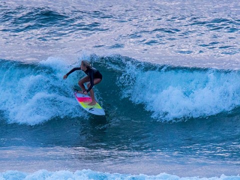
Mix of NE and SSW wind swell this morning was producing knee to waist plus wave faces. Wind was light SW early and although it’s not supposed to pick up too dramatically, it will come around to the SE as the day goes along.
MHL buoy is showing about 1.5 metres at 8 seconds from the NE and closer to 2 metres at 9 sec from the SSW.
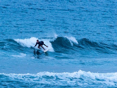
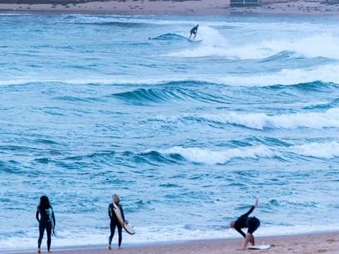
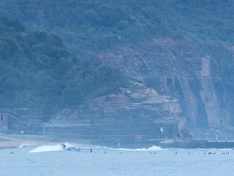
Only surfers I saw along the Collaroy-Narrabeen were clustered up at Northy where it appeared to be marginal and inconsistent, if glassy. No real sign of a surfable peak from there south. Around at Long Reef there were heaps of folks getting in a quick sesh among the weak knee to waist slop out in front of the lifeguard hut. Not much of anything south from there, although there were a few stalwarts at the Pole and down toward kiddies.
Nothing terribly interesting looking in this morning’s swell modelling efforts. The BoM’s MetEye shows the swell energy dropping back today into the 0.5-1m range and pretty much staying that way through Saturday. It would seem the fond hopes I’ve been nurturing for Friday are becoming forlorn. That said, MetEye doesn’t predict the average period and those models that do are still saying Friday to Saturday morning could see 10-11 seconds east swell. If they have it right, we should have waist plus to chest plus at east swell magnets with wind in a standard summer pattern of afternoon NE’rs.
Here’s hoping for the pulse because the long range models look pretty quiet.
Have yourself a top old Wednesday everybody and keep on smilin’!
Tides: L @0840, H @1435

Weather Situation
A trough on the north coast is expected to stall and weaken in the north today as a high south of the Bight shifts east. A fairly weak pressure pattern is expected during the latter part of the week, before the next trough and cold front affect New South Wales on the weekend.
Forecast for Wednesday until midnight
- Winds
- South to southeasterly 10 to 15 knots tending east to southeasterly below 10 knots during the day. Winds reaching up to 20 knots offshore in the morning.
- Seas
- Around 1 metre, increasing to 1 to 1.5 metres during the morning, then decreasing to 1 metre around midday.
- Swell
- Easterly 1.5 metres, tending southerly 1.5 metres during the afternoon.
- Weather
- Cloudy. 70% chance of showers.
Thursday 26 February
- Winds
- Variable below 10 knots becoming northerly 10 to 15 knots in the morning then tending northeasterly in the early afternoon.
- Seas
- Below 1 metre.
- Swell
- Northeast to southeasterly around 1 metre, increasing to 1 to 1.5 metres offshore.
- Weather
- Partly cloudy. 30% chance of a shower in the afternoon.
Friday 27 February
- Winds
- Northeasterly 10 to 15 knots.
- Seas
- Around 1 metre.
- Swell
- Easterly 1 to 1.5 metres.
- Weather
- Partly cloudy. 30% chance of a shower.
