
Hello Friends,
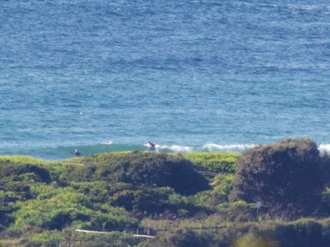
An all-change day coming up for us. This morning we’ll have NE wind and a tiny, just barely there ENE wind swell – that’s maybe waist high on the biggest set waves for, like two seconds. Then, at some point this afternoon, a vigorous south change will come through and switch everything around. What little swell we have is likely to be knocked about pretty much everywhere once that happens.
While the south change will push up the sea conditions into the 2-3 metre range, I’m not too hopeful that it’ll translate into anything terribly interesting for the protected corners. It’s set to blow hard through tomorrow morning and be generally southerly until Tuesday midday when the Bureau predicts east to NE again.
The swell models are dour again today. Seems we’re likely to be bumbling along in the marginal zone until possibly late in the week when at least some of the predictions are showing some south with enough period to maybe perk up the corners a little.
Have yourself a great Sunday!
Tides: H @0620, L @1305
Weather Situation
A high pressure system near New Zealand extends a ridge towards northeastern New South Wales, while a trough and associated cold front move across the state’s south and west. This system is bringing a vigorous southerly change to the southern coast this morning, which will extend to central parts in the afternoon and the northern border early Monday. Behind the change, then next high is expected to shift from the Bight to the Tasman Sea at the start of the week, bringing a gradual easing of coastal winds. A ridge is forecast to remain in the vicinity until the next significant southerly change arrives during the second half of the week.
Forecast for Sunday until midnight
Strong Wind Warning for Sunday for Sydney Coast
- Winds
- North to northeasterly 15 to 20 knots ahead of a gusty southerly change 25 to 30 knots in the mid to late afternoon.
- Seas
- 1 to 2 metres, increasing to 2 to 3 metres with the change.
- Swell
- Easterly around 1 metre.
- Weather
- Mostly sunny. 80% chance of showers in the afternoon and evening. A thunderstorm possible in the afternoon.
Monday 2 March
Strong Wind Warning for Monday for Sydney Coast
- Winds
- South to southeasterly 20 to 30 knots, tending east to southeasterly 10 to 15 knots in the afternoon.
- Seas
- 2 to 3 metres, decreasing to 1 to 2 metres during the afternoon.
- Swell
- Easterly 1 to 1.5 metres.
- Weather
- Partly cloudy. 30% chance of a shower in the morning.
Tuesday 3 March
- Winds
- East to southeasterly below 10 knots becoming north to northwesterly during the morning then becoming east to northeasterly during the day.
- Seas
- Below 1 metre.
- Swell
- Easterly around 1 metre.
- Weather
- Mostly sunny. 40% chance of showers.
