
Hello Friends,
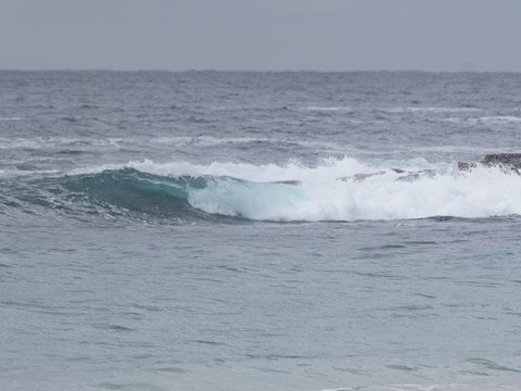
Sorry to run late. Had a chance to see the activity from Manly up to Long Reef and the general picture is of flabby, waist high but still glassy wind swell lumps left over from yesterday’s blow.
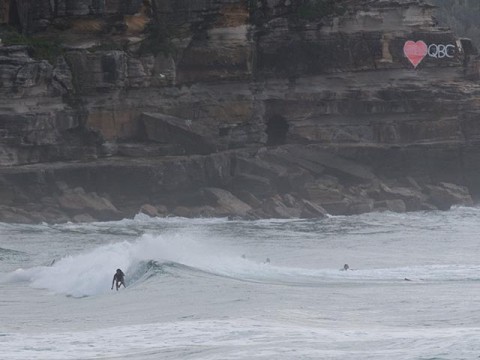
There were folks in the water from south Steyne to Queenscliff at Manly, but the biggest and most energetic waves were up at Queensie. Best I saw might have had a chest high wave face, so there was enough to be getting on with.
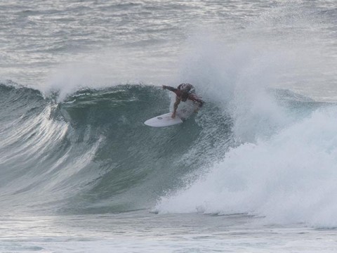
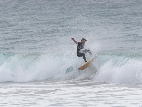
Around at Curl Curl there were only a couple of people in the water chasing lumpy, sectiony junky things. The biggest was potentially into the shoulder high range (see pic). Looked like a fair amount of work for marginal stuff. But hey, at least they were in the water having a go!
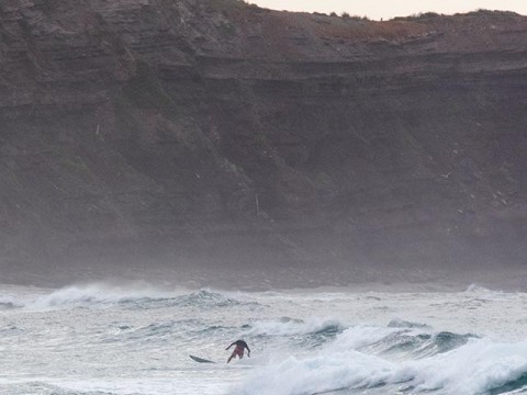
Around at Dee Why there were more surfers taking a cut at the slow-mo, fat waist plus stuff Huey was serving up. There were also a few people up at the Long Reef end where the waves looked both smaller still and pretty inconsistent.
As of 0700, the MHL buoy was recording 2 metres of 8-second SSW wind swell. There’s some 10-sec component in there maybe, but no sign of any long period east. The Bureau is forecasting a metre of east to NE fwiw. And they expect the southerly component to fade.
Tomorrow they’re again calling for a mix of east and south with a peak of activity toward the middle of the day. As usual, they don’t offer any period estimate, so for that we turn to the models and they’re projecting the arrival of long period (14-15 wec) energy from the NE as early as mid-afternoon today. They generally seem to be holding to the same projections as the last few days, ie, a peak in long-period stuff gradually fading as we get into Wednesday.
Bureau says the wind will go SE later today and be variable for the early tomorrow before going NE in the afternoon.
Tide is high @1700 and low at 1100
Weather Situation
A high is expected to be centred over the southern Tasman Sea today. A trough of low pressure and associated cold front is expected to affect the south on Wednesday, moving to the north coast on Thursday.
Forecast for Monday until midnight
Winds
Southerly 10 to 15 knots, reaching up to 20 knots offshore early in the morning. Winds tending southeasterly early in the morning.
Seas
1 to 1.5 metres, decreasing below 1 metre during the morning.
1st Swell
Southeasterly around 1 metre, increasing to 1 to 2 metres during the morning, then decreasing to 1.5 metres during the afternoon.
2nd Swell
East to northeasterly around 1 metre.
Weather
Partly cloudy.
Tuesday 17 March
Winds
Variable about 10 knots becoming northeasterly 15 to 20 knots in the evening.
Seas
Below 1 metre, increasing to 1 to 1.5 metres by early evening.
1st Swell
Southeasterly 1 to 1.5 metres, tending easterly 1.5 metres during the morning, then decreasing to around 1 metre by early evening.
2nd Swell
Easterly around 1 metre.
Weather
Partly cloudy.
Wednesday 18 March
Winds
North to northeasterly 20 to 30 knots shifting west to southwesterly 15 to 20 knots during the evening.
Seas
1.5 to 2.5 metres.
Swell
East to southeasterly around 1 metre, increasing to 1 to 1.5 metres offshore.
