
Hello Friends,
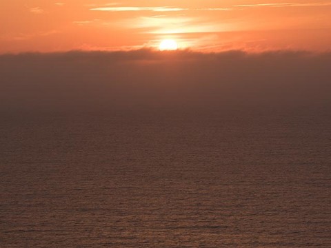
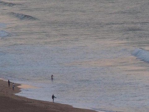
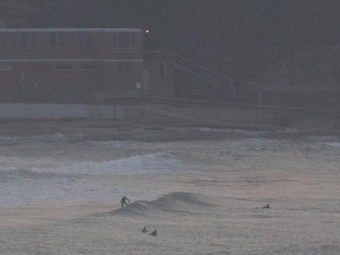
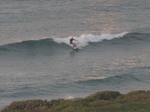
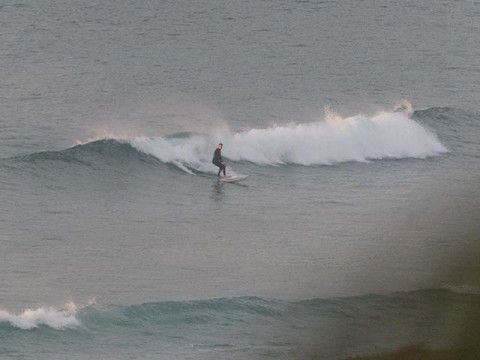
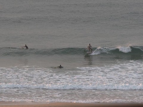
Swell’s cogged down another touch since yesterday, so the best early risers could expect were knee to waist high wave faces at magnet spots. Northy was picking up a little, but not the rest of the beach down to Collaroy. There were small, clean mal/SUP-able little lines from Longy to about the SLSC, but the bombies and the point were zippo. The MHL buoy was detecting a shade under a metre of 11-sec ESE swell as of 0500.
Wind is set to stay out of the north to northwest today and tide was high at 0740 with a low coming along at 1350. Swell will likely burble along at the current intensity this morning, but weaken as the period decreases later in the day.
Looking ahead, tomorrow is shaping to be pretty tiny thanks to a small short-period NE windswell.
But from Monday things should go nuts as the anticipated East Coast Low spins up. Swell could be massive but the wind will be howling SE pretty much the whole week. So apart from really protected corners, the main benefit is the potential rearrangement of our ordinary banks.
Batten down the hatches, it could be a wild week along the coast.
Have yourself a top old Saturday!
Weather Situation
A slow-moving high pressure system over the Tasman Sea is maintaining a ridge towards the northern New South Wales coast, while a trough lies over inland NSW. A cold front will reach the South Coast tonight then move a long the remainder of the coast Sunday with strong south to southwest winds extending over southern and central waters. A low pressure system is likely to form off the Mid North Coast on Monday with further strong to gale-force winds along much of the coast and increasing swell.
Forecast for Saturday until midnight
Winds
Northerly 15 to 20 knots, reaching up to 25 knots offshore early in the morning and again in the evening. Winds tending northwesterly in the late evening.
Seas
1 to 2 metres.
Swell
Below 0.5 metres, tending east to northeasterly 1 to 1.5 metres during the morning, then tending northeasterly around 1 metre during the afternoon.
Weather
Partly cloudy. 60% chance of rain this evening. The chance of a thunderstorm late this afternoon and evening.
Sunday 19 April
Strong Wind Warning for Sunday for Sydney Coast
Winds
Northwesterly 15 to 20 knots shifting southerly 20 to 30 knots in the morning.
Seas
1 to 1.5 metres, increasing to 1.5 to 2 metres during the morning, then increasing to 2.5 to 3 metres during the afternoon.
1st Swell
Southeasterly below 0.5 metres, tending southerly 1.5 to 2 metres by early evening.
2nd Swell
Northeasterly around 1 metre.
Weather
Cloudy. 80% chance of rain.
Monday 20 April
Winds
Southerly 25 to 35 knots.
Seas
2.5 to 3 metres, increasing to 3 to 4 metres during the afternoon.
Swell
Southerly 2 to 4 metres, tending southeasterly 4 metres during the evening.
Weather
Cloudy. 90% chance of rain. The chance of a thunderstorm.
Caution
Large and powerful surf conditions in the afternoon and evening are expected to be hazardous for coastal activities such as crossing bars by boat and rock fishing.
