
Hello Friends,
Wonder how many folks went directly from an Anzac dawn service this morning to the waves. Might have been a few at Dee Why because there were both going on.
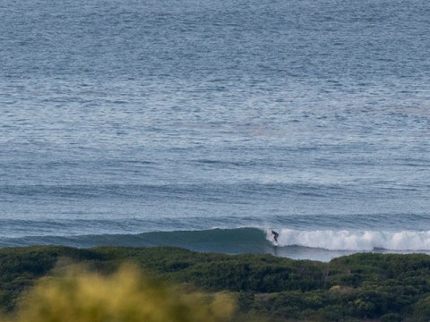
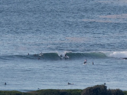
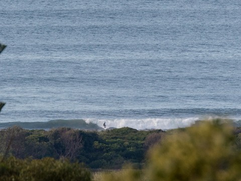
Swell looks to be almost exactly the same as yesterday in terms of size (1.3m from the ESE) but the period’s bumped up a bit, so it should have a touch more push than Friday’s gutlessness. Plus, the Bureau expects the east swell component to come up half a metre or so. Set wave faces at the point were in the chest range and along the beach it looked to be similar, with the latter being more consistent. Tide was low at 0750 and is now coming into the high at 1350. Wind’s a light WNW breeze and should stay that way more or less until this evening.
The Bureau has hoisted the gale pennant for tomorrow because it predicts the wind will pick up from the SW and get into the 25-30 kt range. At the same time, they’re also saying we should expect a mix of 2-3 metre south swell and 1 metre east. The models are kind of ho-hum about the surf prospects though, so we shall see.
Overall it seems that we should have waves of some sort for the rest of the week and some are showing an interesting pulse around Friday.
Have yourself a great Anzac Day!
Weather Situation
A broad trough of low pressure lies over the western Tasman Sea through to Victoria. A low pressure system and cold front lie south of the Bight. A series of weak troughs associated with this system are forecast to move over New South Wales this weekend. The next trough is expected to reach the South Coast late on Saturday before intensifying into a low over the Tasman Sea, resulting in strong to gale-force south to southwesterly winds over the NSW coast on Sunday.
Forecast for Saturday until midnight
Winds
Westerly 10 to 15 knots becoming variable about 10 knots in the middle of the day then becoming west to northwesterly 10 to 15 knots in the evening.
Seas
Around 1 metre.
1st Swell
Easterly 1.5 metres, increasing to 2 metres during the afternoon.
2nd Swell
Southerly around 1 metre.
Weather
Partly cloudy. 80% chance of showers. The chance of a thunderstorm during this afternoon and evening.
Sunday 26 April
Gale Warning for Sunday for Sydney Coast
Winds
Westerly 15 to 20 knots turning southwesterly 25 to 30 knots in the morning. Winds reaching up to 40 knots during the afternoon and evening.
Seas
1.5 to 2 metres, increasing to 2.5 to 4 metres during the morning.
1st Swell
Southerly around 1 metre, increasing to 2 to 3 metres during the morning.
2nd Swell
Easterly 1.5 metres, decreasing to around 1 metre around midday.
Weather
Cloudy. 80% chance of showers offshore, 50% chance elsewhere. The chance of a thunderstorm offshore.
Monday 27 April
Winds
Southwesterly 20 to 30 knots.
Seas
2 to 3 metres, decreasing to around 1 metre inshore.
1st Swell
Southerly around 1 metre.
2nd Swell
Easterly around 1 metre.
Weather
Partly cloudy. 40% chance of showers. The chance of a thunderstorm.

