
Hello Friends,
At 0600 swell was 2 metres at 9 seconds apart from the south and wind was light westerly under overcast skies. We can expect the wind to come around to the SE later. Tide is dropping and today’s low will be at 0930.
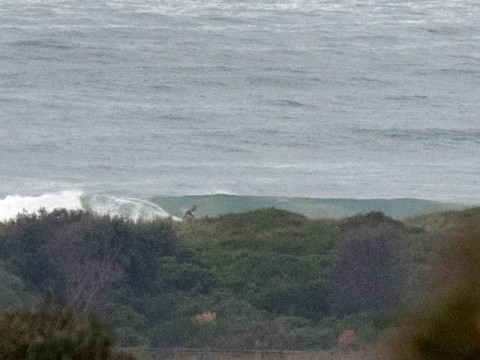
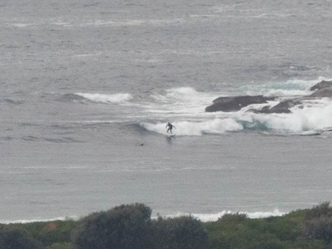
Swell direction, size and period aren’t optimal for Dee Why, but as you head north along the beach, it seems prospects improve. As the pictures show, the point was pretty marginal but there were chest plus options up toward No Man’s.
As always, it’ll be interesting to see what the Goat thinks about the long range outlook. My reading of the models is that things will bumble along at about the current intensity – maybe a bit less – until mid next week when it seems a long-period south pulse could show up.
Go well with your plans everyone!
Weather Situation
A strong high pressure system is moving over southeastern Australia extending a ridge to the Tasman Sea. The high is expected to move over the southwestern Tasman Sea by Monday.
Forecast for Thursday until midnight
Winds
Southeasterly 10 to 15 knots, reaching up to 20 knots inshore in the morning. Winds turning easterly below 10 knots during the afternoon and evening.
Seas
Below 1 metre.
Swell
Southerly 1.5 metres, increasing to 1.5 to 2 metres offshore.
Weather
Cloudy. 40% chance of showers.
Friday 12 June
Winds
Variable below 10 knots.
Seas
Below 0.5 metres.
Swell
Southerly 1 to 1.5 metres.
Weather
Cloudy. 20% chance of a shower.
Saturday 13 June
Winds
East to northeasterly below 10 knots.
Seas
Below 0.5 metres.
Swell
Southerly 1 to 1.5 metres, decreasing to around 1 metre during the morning.
Weather
Partly cloudy. 20% chance of a shower.
