Hello Friends,
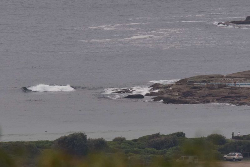
Yesterday’s southerly doesn’t seem to have left us with anything of interest this morning. The MHL buoy was seeing 1.7 metres of 7-sec S-SSE as of 0500. When I checked it a couple of hours later, there was no real sign of anything rideable at Dee Why – unless you had a rescue ski or similar. I reckon if you can find a knee high wave this morning, you’ll be doing well.
Wind was coming faintly from the SW at 0745 but it should be back around to the NE after lunch. Tide was low at 0500 and will be back into the high at 1125.
Several of the forecast models had been pointing toward Wednesday being fun size, so I guess that’s just a little reminder to take these things with a grain of salt. That said, tomorrow should see a pretty dramatic change. Wind will be hot and strong early and then it’s set to go around to the south to SE in the afternoon at 20-25 kts. It’ll be interesting to see if anything surfable comes out of it. The models are saying we could get some waist to chest south energy, but it looks like it might not get here until the wind is around to the same direction. So, complicated and not highly hopeful. Friday continues to look like being sizable at south spots. Again, there’s a fair amount of variability in the forecasts, but the consensus seems to be that the wind’ll be pretty strongly southerly and the swell around the 3 metre mark. Plus it should be rainy in the morning.
The weekend could see SW wind and a couple metres of south swell.
Have yourself a great Wednesday everyone, and go well with your plans!

Weather Situation
A high pressure system near New Zealand extends a ridge to the northwest directing northerly winds along the New South Wales coast. On Thursday a cold front will bring a vigorous southerly change to the south and central coasts extending to the far north coast Friday morning.
Forecast for Wednesday until midnight
Winds
Southerly 10 to 15 knots becoming variable about 10 knots early in the morning then becoming northeasterly 15 to 20 knots in the early afternoon. Winds reaching up to 25 knots offshore in the evening.
Seas
Below 1 metre, increasing to 1 to 2 metres during the afternoon.
Swell
Southeasterly 1 to 1.5 metres.
Weather
Partly cloudy.
Thursday 14 January
Strong Wind Warning for Thursday for Sydney Coast
Winds
Northerly 15 to 25 knots shifting southerly 20 to 25 knots in the late afternoon. Winds reaching up to 30 knots in the evening.
Seas
1.5 to 2.5 metres, increasing to 2 to 3 metres during the afternoon.
1st Swell
Southeasterly around 1 metre, increasing to 1 to 1.5 metres during the morning, then decreasing to around 1 metre around midday.
2nd Swell
Easterly below 1 metre, tending northeasterly 1 to 1.5 metres around midday.
Weather
Mostly sunny morning. 80% chance of rain in the afternoon and evening. The chance of a thunderstorm in the afternoon and early evening.
Friday 15 January
Winds
Southerly 25 to 30 knots.
Seas
2.5 to 3 metres.
1st Swell
Southeasterly below 0.5 metres, tending southerly 2 to 3 metres during the morning.
2nd Swell
East to northeasterly around 1 metre.
Weather
Cloudy. 90% chance of rain.


