Hello Friends,
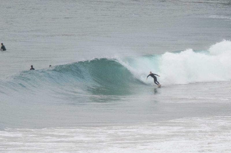
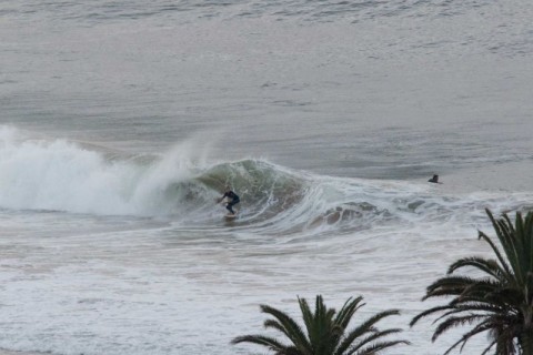
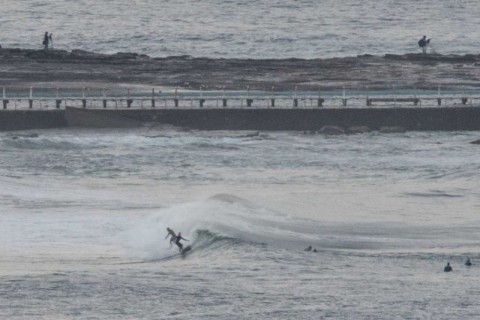
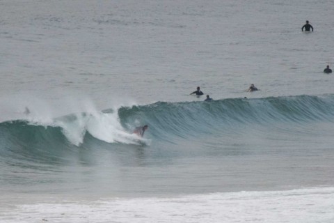
It was a good morning to be hitting it early. Glassy conditions prevailed and although the tide was close to the 0705 low when I checked it out, the waves weren’t anything like as horrifically crunchy as yesterday afternoon. The Bureau says the wind should stay light this morning and the models have the swell sticking around but weakening gradually.
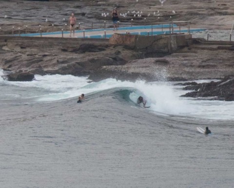
The MHL buoy was picking up both SE and NE components, but the SE was dominant at about 1.5 metres at 9 seconds. As the pictures show, that means folks were getting waist to chest and even a touch bigger on the bombs at the exposed spots. For Dee Why there were waves from the point to a little north of the pole (Longy appeared to be largely missing out) around at Collaroy-Narrabeen, you needed to be looking from the Marquesas north to the alley. Not too many peaks that I could see, so the main action and crowd was at Northy.
The plan is to get out there now because it looks like this morning could be as good as it gets for the next few days…
Have a great Saturday!
BTW just posted a video minute of what I was seeing around 0645 at Dee Why.

Weather Situation
A low pressure system west of Tasmania extends a front to western Bass Straight. Ahead of this system, generally north to northeasterly winds will prevail along the coast for the next day. The low is expected to develop into a more complex system and slowly move over southeast Australia during the weekend and then over the Tasman Sea on Monday. Several small scale centres and troughs are likely to develop within this complex, some over New South Wales Coastal Waters. There is considerable uncertainty regarding the position of these small scale features, which will have a significant influence on wind speed and direction, though winds aren’t generally expected to be strong in their vicinity.
Forecast for Saturday until midnight
Winds
Northwest to northeasterly 10 to 15 knots becoming variable about 10 knots in the morning then becoming northeasterly 15 to 20 knots in the late afternoon.
Seas
Around 1 metre, increasing to 1 to 1.5 metres by early evening.
1st Swell
Easterly 1 to 1.5 metres.
2nd Swell
Southeasterly around 1 metre.
Weather
Partly cloudy. 70% chance of showers. The chance of a thunderstorm.
Sunday 31 January
Winds
North to northeasterly 10 to 15 knots becoming variable about 10 knots before dawn then becoming north to northeasterly 10 to 15 knots in the middle of the day. Winds reaching up to 25 knots offshore in the late evening.
Seas
1 to 1.5 metres, decreasing below 1 metre during the morning, then increasing to 1 to 1.5 metres during the afternoon.
1st Swell
Easterly 1 to 1.5 metres, decreasing to around 1 metre during the morning, then increasing to 1 to 1.5 metres around midday.
2nd Swell
Southeasterly around 1 metre.
Weather
Mostly sunny. 40% chance of showers offshore, 20% chance elsewhere.
Monday 1 February
Winds
West to southwesterly 15 to 20 knots tending west to northwesterly 10 to 15 knots during the morning then becoming variable about 10 knots during the afternoon.
Seas
1 to 2 metres, decreasing to 1 metre during the morning.
1st Swell
Northeasterly around 1 metre, increasing to 1 to 1.5 metres offshore.
2nd Swell
Southeasterly around 1 metre.
Weather
Partly cloudy. 30% chance of a shower.

