
Hello Friends,
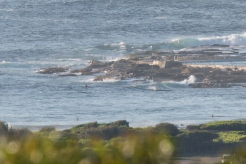
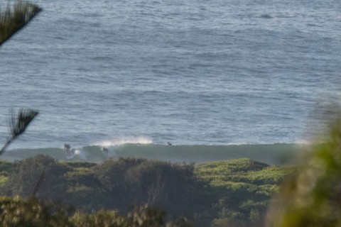
Light NW breeze before 0800 this morning and a mix of small SSE and NE swell. At 0500 the MHL buoy was showing the dominant swell energy coming from 166 degrees at 11 seconds apart. It was around 1.5 metres, so there should be wave faces around that size at the magnets. Swell should hold around the current size all day.
Next tide is the high at 1110 and the wind will be coming around to the NE and topping out at 15 kts this afternoon.
It’ll be interesting to see what the Goat thinks, but my reading of the various models this morning is that we’re looking at around about the same conditions for the next few days, and toward the end of next week there seems to be a prospect of some more intense energy.
Have yourself a top old day one and all!
Weather Situation
A high pressure system over the central Tasman Sea extends a ridge to the north coast of New South Wales coast, while a weak trough lies over the south coast and is expected to move southwards and dissipate during the next day or so. For the next few days, the ridge will maintain east to southeasterly winds along the north coast, tending northeasterly along the central and south coast, apart from southeasterly winds along the far south coast today due to the trough.
Forecast for Thursday until midnight
Winds
Northeasterly 10 to 15 knots.
Seas
Below 1 metre.
Swell
Easterly around 1 metre, increasing to 1 to 1.5 metres offshore.
Weather
Partly cloudy.
Friday 12 February
Winds
Northeasterly 15 to 20 knots.
Seas
1 to 1.5 metres.
Swell
Easterly around 1 metre.
Weather
Partly cloudy. 30% chance of a shower.
Saturday 13 February
Winds
North to northeasterly 15 to 25 knots.
Seas
1 to 1.5 metres, increasing to 1.5 to 2 metres offshore during the afternoon or evening.
Swell
Easterly below 1 metre.
Weather
Mostly sunny.
Please be aware
Wind gusts can be 40 percent stronger than the averages given here, and maximum waves may be up to twice the height.
Nearby Coastal Waters
