
Hello Friends,
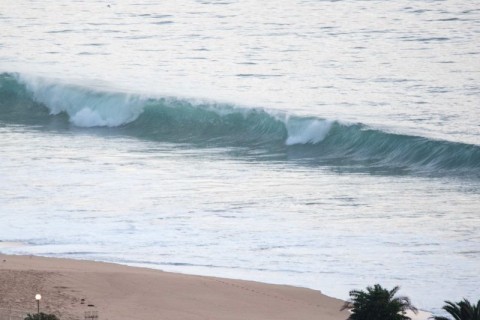
A very warm day coming up. Wind was light offshore at first light and tide was coming off the 0415 high as it drops to the 1105 low. The MHL buoy was showing 1.5 metres of 13-second south swell at 0400. While that means the average height at sea is down quite a bit since yesterday, the period has jumped enough to compensate.
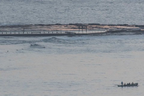
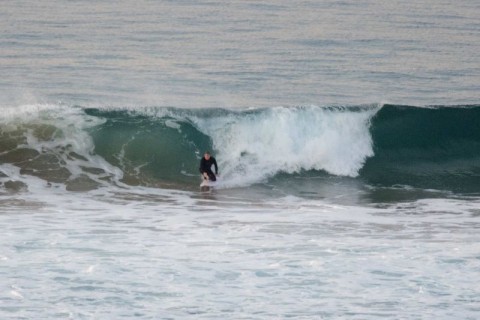
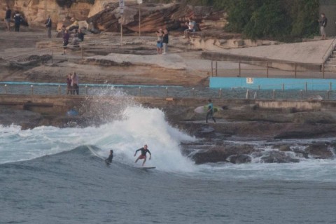
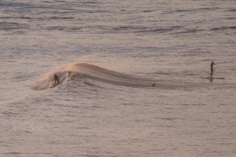
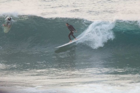
Sets are still into the head high range on the bombs, but the waits are longer and the lulls much closer to flatness. Waves at Dee Why point were around the waist to chest mark on sets. The banks remain awful from Dee Why to Longy and for the entire length of Collaroy-Narrabeen, bar Northy itself. Swell angle seemed to be close to right for Butterbox and a little crew were out on it chasing waist to chest sets. Again, lulls were basically flat.
The wind should swing from the NW to SW around to the east ahead of a late 15-25kt south change.
Looking ahead through to Monday, the MHL modelling is saying we can expect the average period to drop below 10 seconds and the average size of the swell to be closer to a metre. It should gradually move from straight south to SE. Sunday should be south to SE 15-25 kts and Monday the Bureau says we’re back to NE.
Next week is currently shaping to be marginal to flat until maybe late Thursday. The models are then generally pointing toward a lift into the surfable range as we head into next weekend.
Have yourself a top old Saturday everyone, and keep on smilin’!
Weather Situation
A weak high pressure system off the northern New South Wales coast combined with an approaching cold front from the southwest is promoting northwest to westerly winds over most New South Wales coastal waters. This cold front will bring a southerly change to southern and central parts of the coast later on Saturday, with south to southeasterly winds extending through all coastal waters by Sunday evening. Behind this, a new high is forecast to drift across the region during Sunday and Monday, accompanied by a return to generally northeasterly winds during Monday. The next front is not likely to arrive until mid next week.
Forecast for Saturday until midnight
Winds
Northwest to southwesterly 10 to 15 knots, tending east to southeasterly in the late afternoon then shifting southerly 15 to 25 knots in the late evening.
Seas
1 to 1.5 metres.
Swell
Southerly below 1 metre.
Weather
Mostly sunny.
Sunday 3 April
Winds
South to southeasterly 15 to 25 knots tending east to southeasterly 10 to 15 knots in the morning.
Seas
1 to 2 metres, decreasing to 1 metre during the morning.
Swell
Southerly around 1 metre, increasing to 1 to 1.5 metres during the morning.
Weather
Partly cloudy. 70% chance of showers.
Monday 4 April
Winds
Easterly about 10 knots tending northeasterly 15 to 20 knots during the morning then tending northerly during the evening.
Seas
Below 1 metre, increasing to 1 to 2 metres during the afternoon or evening.
Swell
Southerly below 1 metre.
Weather
Cloudy. 70% chance of showers. The chance of a thunderstorm.
Please be aware
Wind gusts can be 40 percent stronger than the averages given here, and maximum waves may be up to twice the height.
Nearby Coastal Waters
